
Pinyon Flat Cg
Campground
2.8 mi from the trail
Pinyon is a hard hike in the San Jacinto Ranger District of San Bernardino National Forest in California, managed by the Forest Service. The route is an out-and-back of about 10.6 miles, with a one-way elevation gain of 836 feet, taking you from a low point of 3,336 feet to a high of 4,049 feet. Spring and fall are the most comfortable times to go. Typical averages from a nearby weather station in Idyllwild show May highs around 71°F and October highs around 72°F, while July and August average in the mid-80s. That station sits about 1,300 feet higher than the trail, so temperatures on the route run warmer. Pinyon Trail lies about 2.3 miles away, and Palm Canyon is about 2.4 miles off. For an overnight stay, Ribbonwood Equestrian Campground is about 3.3 miles away. Climbers can head to Garner Valley, roughly 5.4 miles from the trail.
Where it is: San Jacinto Ranger District · San Bernardino National Forest
Near: Palm Desert
Mid-September to mid-February and late February to mid-June are usually best for hiking here.
Typical highs of 54–80°F and lows of 30°F or warmer in those weeks.
Typical weather: NOAA 1991–2020 normals at Idyllwild Fire Dept, CA, 16 mi away. Not a forecast.
Typical weather by monthBest months: October–June. Best months are the ones mostly made of the best weeks for hiking: typical temperatures in its comfortable range, few snowy days and not usually wet, judged with the same limits as our good-day forecasts.
Jan
55°
31°
7 wet · 2 snow
Feb
54°
30°
7 wet · 3 snow
Mar
59°
32°
6 wet · 2 snow
Apr
64°
35°
4 wet · 1 snow
May
71°
41°
2 wet
Jun
80°
48°
1 wet
Jul
85°
55°
2 wet
Aug
86°
55°
3 wet
Sep
81°
50°
2 wet
Oct
72°
42°
2 wet
Nov
62°
35°
4 wet · 1 snow
Dec
54°
30°
6 wet · 2 snow
Typical high / low (°F) and days with rain or snow, 1991–2020. Measured at Idyllwild Fire Dept, CA, 15.9 mi away at 5,380 ft. The station sits about 1,300 ft higher than this place, so expect it a little warmer here. Source: NOAA NCEI U.S. Climate Normals 1991–2020.
Been here? Tell people how it was.
 Pinyon TrailHikingPhoto: Lukáš Lalinský, CC BY-SA 2.0 (via Flickr)2.3 mi
 Palm CanyonHikingPhoto: USFWS Pacific Southwest Region, Public Domain Mark (via Flickr)2.4 mi
 Ribbonwood Equestrian CgCampingPhoto: Recreation.gov (RIDB) / public domain3.3 mi
 Cactus SpringsHikingPhoto: bossco, CC BY-SA 2.0 (via Flickr)3.6 mi
 SawmillHikingPhoto: rmalouf, CC BY 2.0 (via Flickr)4.9 miPinyon TrailHikingPhoto: Lukáš Lalinský, CC BY-SA 2.0 (via Flickr)~4 min driveCactus SpringsHikingPhoto: bossco, CC BY-SA 2.0 (via Flickr)~6 min drive
 Dry Wash TrailHikingPhoto: Martin Haeusler, CC BY-SA 3.0 (via Wikimedia Commons)~13 min driveCactus Springs TrailHikingPhoto: bossco, CC BY-SA 2.0 (via Flickr)~6 min drive
 Hopalong Cassidy TrailHikingPhoto: docentjoyce, CC BY 2.0 (via Flickr)~11 min drive
 Fern Canyon TrailHikingPhoto: Martin Haeusler, CC BY-SA 3.0 (via Wikimedia Commons)~16 min drive
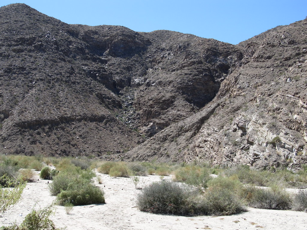 Carrizo CanyonHikingPhoto: Ken Lund, CC BY-SA 2.0 (via Flickr)~12 min drive
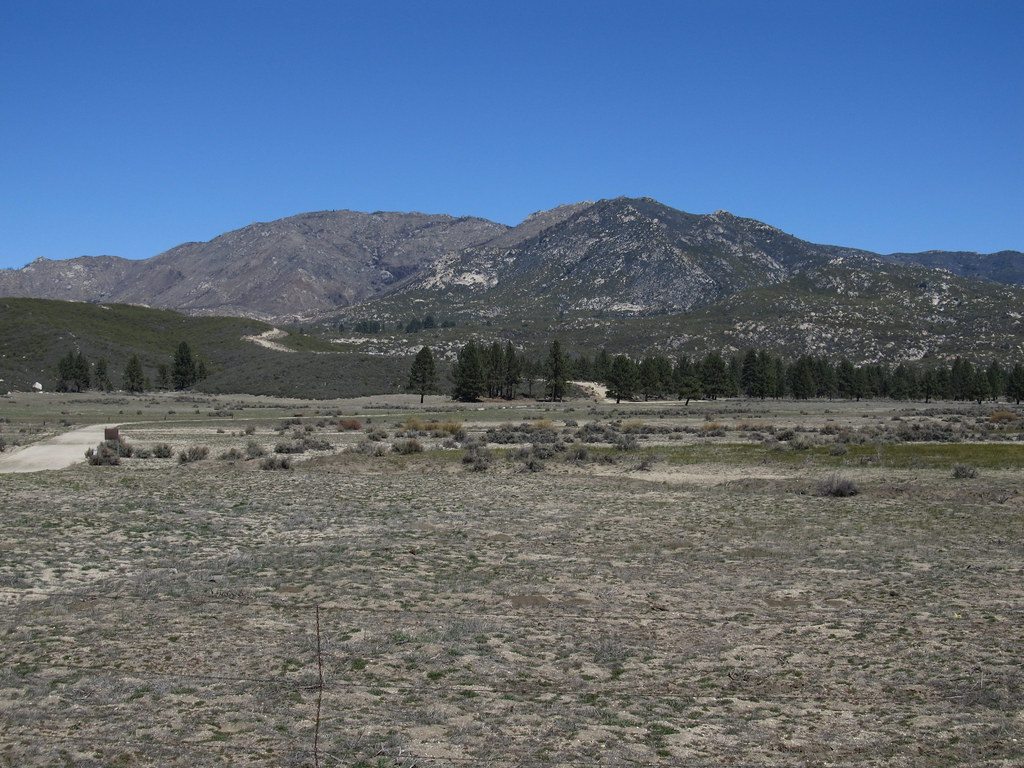 RamonaHikingPhoto: Ken Lund, CC BY-SA 2.0 (via Flickr)~13 min driveSawmillHikingPhoto: rmalouf, CC BY 2.0 (via Flickr)~8 min drive
Daily highs and lows, wind and the chance of precipitation at Start for the next 7 days, from the Open-Meteo model.
Questions about Pinyon: conditions, access, timing. Answers say when something isn't known.
Pinyon Flat Cg
Campground
The Pour House
Restaurant
Children's museum in Rancho Mirage, California
Places © OpenStreetMap contributors, Places © Overture Maps Foundation
More in CoachellaNot on Roamze yet. Their page has how to reach them.
