Ribbonwood Equestrian Cg
Campground
Campground · 0.6 mi from the trail
 Photo: bossco, CC BY-SA 2.0 (via Flickr)
Alert in the area
The Forest Service lists 2 alerts for San Bernardino National Forest.
Safety Alert - Falling Rocks at Bonita Falls
Agency alert covering San Bernardino National Forest · USFS · San Bernardino National Forest
Fire Restrictions
Agency alert covering San Bernardino National Forest · Order 05-12-00-26-05 · USFS · San Bernardino National Forest
As of · Source: USFS · San Bernardino National Forest. Agencies don't list every closure — check before you go.
Cactus Springs Trail is a 2.0-mile out-and-back route in California with 472 feet of elevation gain and loss, reaching a maximum elevation of 3,992 feet.
Ribbonwood Equestrian Cg
Campground
The Pour House
Restaurant
Children's museum in Rancho Mirage, California
Places © OpenStreetMap contributors, Places © Overture Maps Foundation
More in CoachellaNot on Roamze yet. Their page has how to reach them.
 Pinyon TrailHiking · ~2 min drivePhoto: Lukáš Lalinský, CC BY-SA 2.0 (via Flickr)
 SawmillHiking · ~3 min drivePhoto: rmalouf, CC BY 2.0 (via Flickr)
 Palm CanyonHiking · ~5 min drivePhoto: USFWS Pacific Southwest Region, Public Domain Mark (via Flickr)
 Carrizo CanyonHiking · ~11 min drivePhoto: Ken Lund, CC BY-SA 2.0 (via Flickr)
 Dry Wash TrailHiking · ~18 min drivePhoto: Martin Haeusler, CC BY-SA 3.0 (via Wikimedia Commons)
 Hopalong Cassidy TrailHiking · ~11 min drivePhoto: docentjoyce, CC BY 2.0 (via Flickr)Dead Indian CanyonHiking · ~11 min drivePhoto: Ken Lund, CC BY-SA 2.0 (via Flickr)
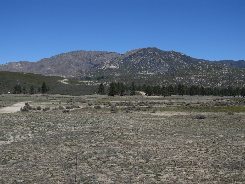 RamonaHiking · ~19 min drivePhoto: Ken Lund, CC BY-SA 2.0 (via Flickr)
Best months: April–July and September–November. Best months have typical highs of 55–85 °F, lows of 30 °F or warmer (32 °F where the station doesn't record snow), at most one snowy day and no more than 12 wet days.
Jan
55° / 31°
7 wet · 2 snow
Feb
54° / 30°
7 wet · 3 snow
Mar
59° / 32°
6 wet · 2 snow
Apr
64° / 35°
4 wet · 1 snow
May
71° / 41°
2 wet
Jun
80° / 48°
1 wet
Jul
85° / 55°
2 wet
Aug
86° / 55°
3 wet
Sep
81° / 50°
2 wet
Oct
72° / 42°
2 wet
Nov
62° / 35°
4 wet · 1 snow
Dec
54° / 30°
6 wet · 2 snow
Typical high / low (°F) and days with rain or snow, 1991–2020. Measured at Idyllwild Fire Dept, CA, 19.4 mi away at 5,380 ft. The station sits about 1,400 ft higher than this place, so expect it a little warmer here. Source: NOAA NCEI U.S. Climate Normals 1991–2020.
Map and trail data © OpenStreetMap contributors


