Baldy Bowl Trail
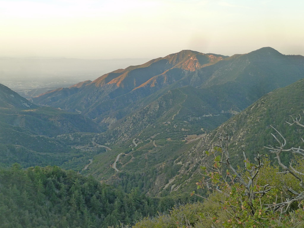
 Photo: feverblue, CC BY-SA 2.0 (via Flickr)
At a glance
Baldy Bowl Trail is a 3-mile out-and-back hike in the San Gabriel Mountains National Monument Ranger District of Angeles National Forest in California, managed by the Forest Service. The trail rises from about 7,984 feet to a high point of 10,067 feet, a climb of 2,057 feet, and is rated moderate. The route is natural-surfaced and allows bikes, so it works for hikers and riders alike. It stays open year-round, and the surrounding area offers plenty to pair with the climb. Climbers will find Rock Garden and Other Routes just 0.2 miles away, and Mount San Antonio (Mt. Baldy) is 0.8 miles off. Register Ridge, another hike, is 0.9 miles away. For an overnight stay, Manker Flat campground sits about 1.1 miles from the trail.
- round trip
- 3.0 mi
- climb
- 2,057 ft
- high point
- 10,067 ft
- route
- Out and back
Where it is: San Gabriel Mountains National Monument Ranger District · Angeles National Forest
Near: Rancho Cucamonga
Been here? Tell people how it was.
- Other RoutesRock climbing0.2 mi
- Rock GardenRock climbing0.2 mi
- Mount San Antonio (Mt. Baldy)Rock climbing0.8 mi
 Register RidgeHikingPhoto: inkknife_2000 (7.5 million views +), CC BY-SA 2.0 (via Wikimedia Commons)0.9 mi
- Mt. Baldy ResortDownhill skiing1.1 mi
- Manker FlatCamping1.1 mi
- LupineCamping3.8 mi
- Lytle Creek - Cajon Pass Recreation AreaRiver fishing9.6 mi
- Register RidgeHikingPhoto: inkknife_2000 (7.5 million views +), CC BY-SA 2.0 (via Wikimedia Commons)~2 min drive
- Three Ts TrailHikingPhoto: inkknife_2000 (7.5 million views +), CC BY-SA 2.0 (via Wikimedia Commons)~4 min drive
 BIGHORN PEAK TRAILHikingPhoto: Mitch from Costa Mesa, CA, USA, CC BY-SA 2.0 (via Wikimedia Commons)~6 min drive
 Three T'sHikingPhoto: inkknife_2000 (7.5 million views +), CC BY-SA 2.0 (via Wikimedia Commons)~4 min drive
 Chapman TrailHikingPhoto: inkknife_2000 (7.5 million views +), CC BY-SA 2.0 (via Wikimedia Commons)~4 min drive
 Stonehouse - Stonehouse Cut-OfHikingPhoto: joedecruyenaere on Flickr, CC BY-SA 2.0 (via Wikimedia Commons)~10 min drive
 Mt. Baldy TrailHikingPhoto: scorpio-tiger, CC BY-SA 2.0 (via Flickr)~5 min drive
- Devils Backbone TrailHikingPhoto: inkknife_2000 (7.5 million views +), CC BY-SA 2.0 (via Wikimedia Commons)~3 min drive
 Blue Ridge Truck TrailHikingPhoto: Masaru Kamikura, CC BY 2.0 (via Flickr)~10 min drive
 Icehouse Canyon TrailHikingPhoto: simonov, CC BY-SA 2.0 (via Flickr)~5 min drive
Also worth it near here
- Mount Baldy RoadRock climbing~3 min drive
 Telegraph Peak TrailMountain bikingPhoto: User:agriffith14, CC BY-SA 3.0 (via Wikimedia Commons)~4 min drive
 Timber MountainSummitPhoto: Mitch Barrie (simonov), CC BY-SA 2.0 (via Wikimedia Commons)~6 min drive
 Mountain HighDownhill skiingPhoto: Mtf612 at English Wikipedia, Public domain (via Wikimedia Commons)~12 min drive
Conditions and forecast on Mount San Antonio
Caution todayAgency alerts are in effect for this areaUSFS · checked 2 min agoDaily highs and lows, wind and the chance of precipitation at the summit and route start for the next 7 days, from the Open-Meteo model.
Ask about this place
Questions about Baldy Bowl Trail: conditions, access, timing. Answers say when something isn't known.
Other routes up Mount San Antonio
Questions about this route
How long is the Baldy Bowl Trail on Mount San Antonio?
About 3.0 mi round trip.
How much elevation gain is on the Baldy Bowl Trail?
About 2,057 ft of climbing round trip.
How hard is the Baldy Bowl Trail?
It is rated moderate.
When is the best time for the Baldy Bowl Trail?
Year-round.
How many routes go up Mount San Antonio?
4: Baldy Bowl Trail, Devils Backbone Trail, North Devils Backbone and Mt. Baldy Trail.
