Southfork
At a glance
Southfork is a hard hike in the Smokey Bear Ranger District of Lincoln National Forest in New Mexico, managed by the Forest Service. The route is an out-and-back that covers about 10 miles, with an elevation gain of 2,141 feet, from a low point of about 7,577 feet to a high of roughly 9,714 feet. The trail is natural-surface and allows horses, so riders can join the route. For timing, May and June are the most comfortable months, with typical highs in the mid-60s to mid-70s and lows in the 30s to mid-40s, according to typical averages from a nearby weather station at Cloudcroft. July and August bring more wet days, about 16 a month. Rodamaker Canyon lies about a mile away, and the Peacock hike is about 1.3 miles off. Climbers can head to Fin Boulder, The, at about 1.7 miles, and Bluefront, another hike, is about 1.8 miles away.
- round trip
- 10.0 mi
- climb
- 2,141 ft
- high point
- 9,714 ft
- route
- Out and back
- best months
- May–Jun, Sep–Oct
Where it is: Smokey Bear Ranger District · Lincoln National Forest
Near: Ruidoso
Best time to visit Southfork
Best months: May–June and September–October. Best months have typical highs of 55–85 °F, lows of 30 °F or warmer (32 °F where the station doesn't record snow), at most one snowy day and no more than 12 wet days.
Jan
42°
19°
6 wet
Feb
45°
22°
6 wet
Mar
51°
26°
6 wet
Apr
58°
31°
4 wet
May
66°
38°
5 wet
Jun
74°
45°
9 wet
Jul
72°
48°
16 wet
Aug
71°
47°
16 wet
Sep
67°
42°
10 wet
Oct
60°
34°
6 wet
Nov
51°
26°
5 wet
Dec
43°
19°
6 wet
Typical high / low (°F) and days with rain or snow, 1991–2020. Measured at Cloudcroft, NM, 33.9 mi away at 8,679 ft. The station sits about 1,000 ft lower than this place, so expect it a little cooler here. This station doesn't record snowfall. Source: NOAA NCEI U.S. Climate Normals 1991–2020.
Been here? Tell people how it was.
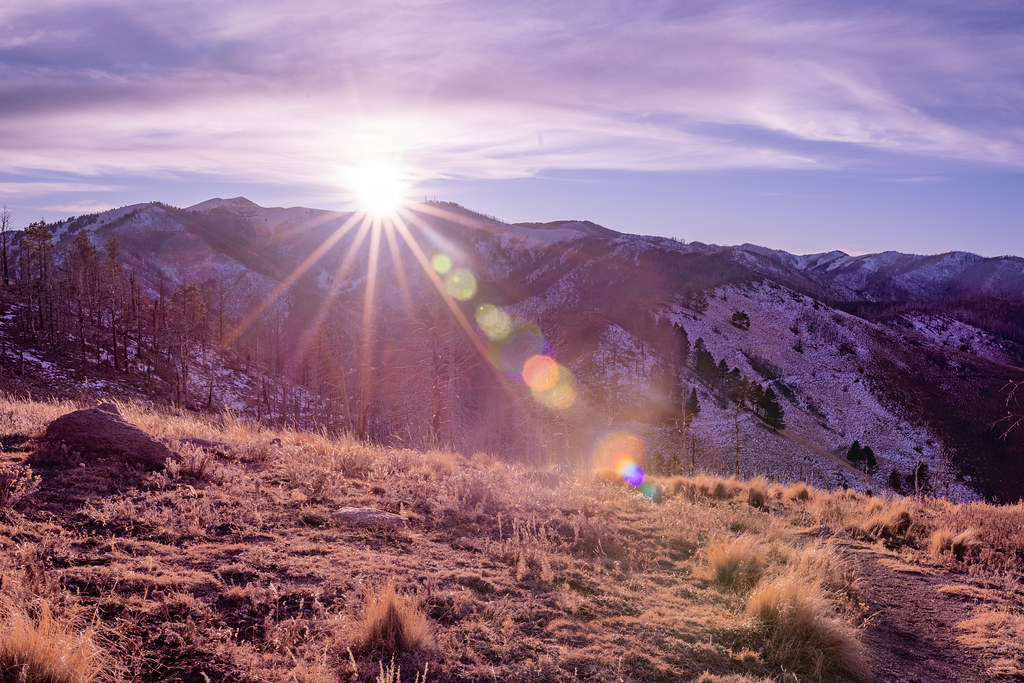 North Eagle CreekHikingPhoto: joncutrer, CC BY 2.0 (via Flickr)~5 min drive
 Rodamaker CanyonHikingPhoto: waterarchives, CC BY-SA 2.0 (via Flickr)~2 min drive
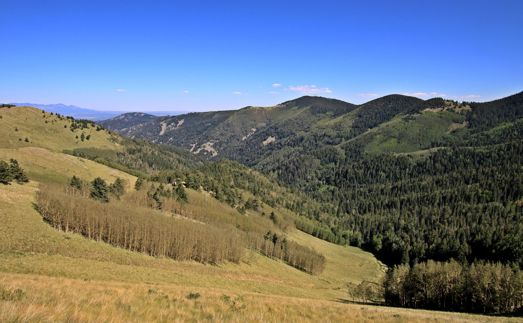 Bluefront TrailHikingPhoto: uıɐɾ ʞ ʇɐɯɐs, CC BY-SA 2.0 (via Flickr)~8 min drive
- Crest TrailHiking~7 min drive
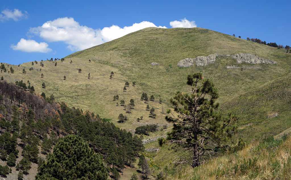 MaverickHikingPhoto: uıɐɾ ʞ ʇɐɯɐs, CC BY-SA 2.0 (via Flickr)~10 min drive
 Miner's RoadHikingPhoto: CK Kelly, CC BY 4.0 (via Wikimedia Commons)~4 min drive
- PeacockHiking~2 min drive
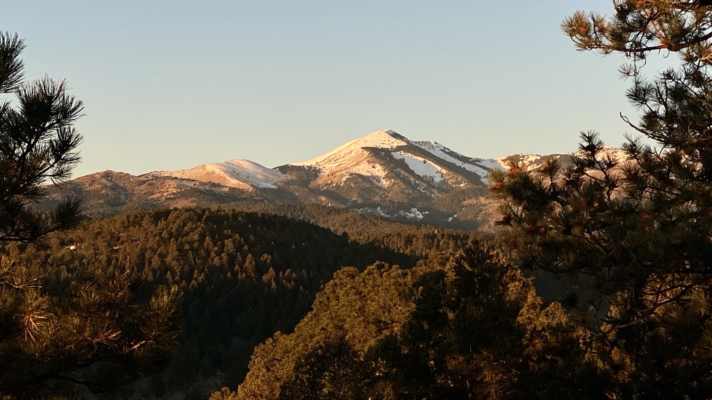 Alto Eagle Creek TrailHikingPhoto: joncutrer, CC BY 2.0 (via Flickr)~10 min drive
- Telephone CanyonHikingPhoto: CK Kelly, CC BY 4.0 (via Wikimedia Commons)~4 min drive
- Mills CanyonHiking~6 min drive
Conditions and forecast
Caution todayAgency alerts are in effect for this areaUSFS · checked 18 min agoDaily highs and lows, wind and the chance of precipitation at Start for the next 7 days, from the Open-Meteo model.
Ask about this place
Questions about Southfork: conditions, access, timing. Answers say when something isn't known.
