
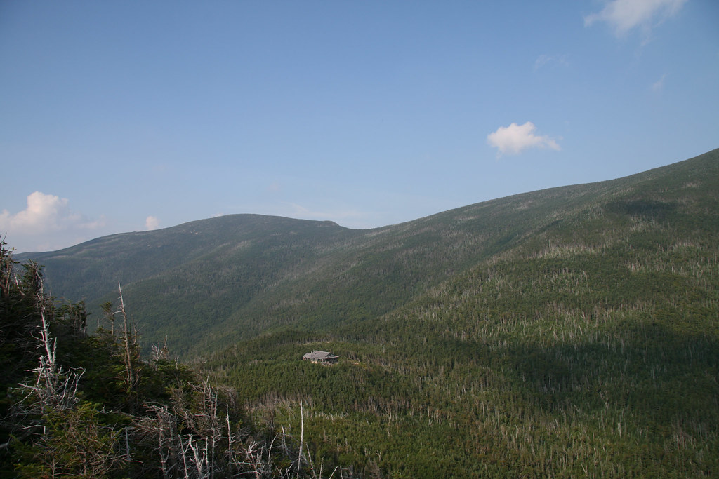
Guyot Shelter
Campground
0.1 mi from the trail
 Photo: matt.a, CC BY 3.0 (via Wikimedia Commons)
Bondcliff is a short, easy out-and-back hike in the Pemigewasset Wilderness, part of the Pemigewasset Ranger District of White Mountain National Forest in New Hampshire. The trail is about 1.2 miles long, with a total elevation gain of 321 feet, and it starts at roughly 4,376 feet, reaching a high point of 4,562 feet before returning to the starting level. The climb is front-loaded, with the steepest stretch at about 0.3 miles in, where the grade reaches 19 percent. The route is short enough to fit into a half day, and the Forest Service manages the land. West Bond and Guyot Shelter both sit about 0.1 mile away, making them natural additions to the trip. The WM: Kancamagus (Central) climbing area is about 1.3 miles off, and North Twin is about 2.1 miles away.
Where it is: Pemigewasset Wilderness · Pemigewasset Ranger District
Near: Berlin
Been here? Tell people how it was.
 West BondHikingPhoto: Ktr101, CC BY-SA 2.0 (via Flickr)0.1 miNorth TwinHikingPhoto: matt.a, CC BY 3.0 (via Wikimedia Commons)2.1 mi
 Omni Mount Washington Resort, Bretton WoodsLake fishing7.8 mi
 Pemigewasset RiverCanoeingPhoto: Public domain (via Wikimedia Commons)8.5 miWest BondHikingPhoto: Ktr101, CC BY-SA 2.0 (via Flickr)Next door
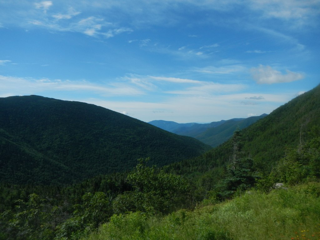 Frost TrailHikingPhoto: John Hayes (gravelboy), CC BY 2.0 (via Flickr)~4 min drive
 Zeacliff TrailHikingPhoto: matt.a, CC BY 3.0 (via Wikimedia Commons)~4 min driveNorth TwinHikingPhoto: matt.a, CC BY 3.0 (via Wikimedia Commons)~4 min drive
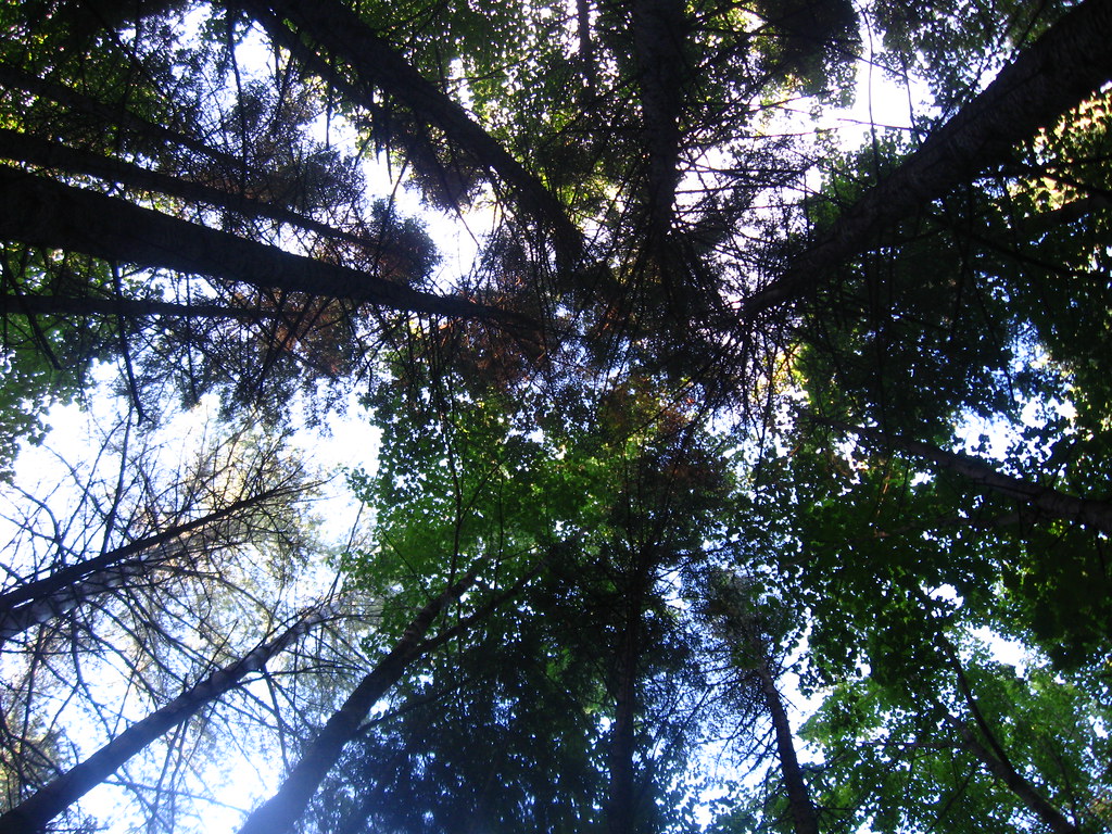 Franconia Falls TrailHikingPhoto: Qfamily, CC BY 2.0 (via Flickr)~8 min drive
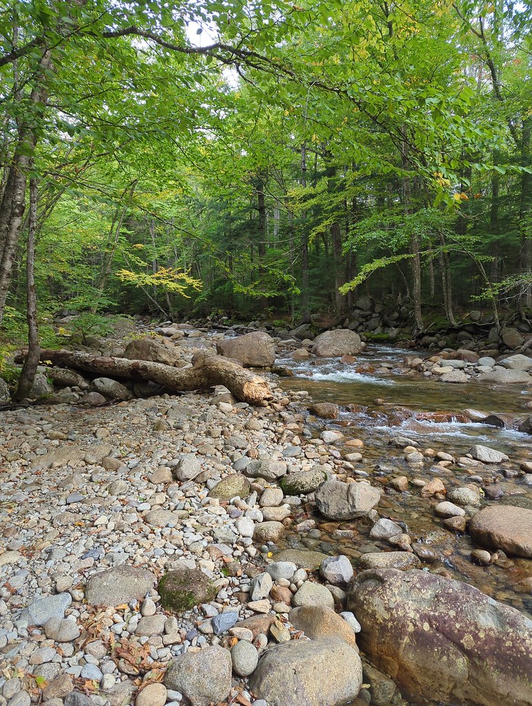 Lincoln BrookHikingPhoto: jbylund, CC BY-SA 2.0 (via Flickr)~5 min drive
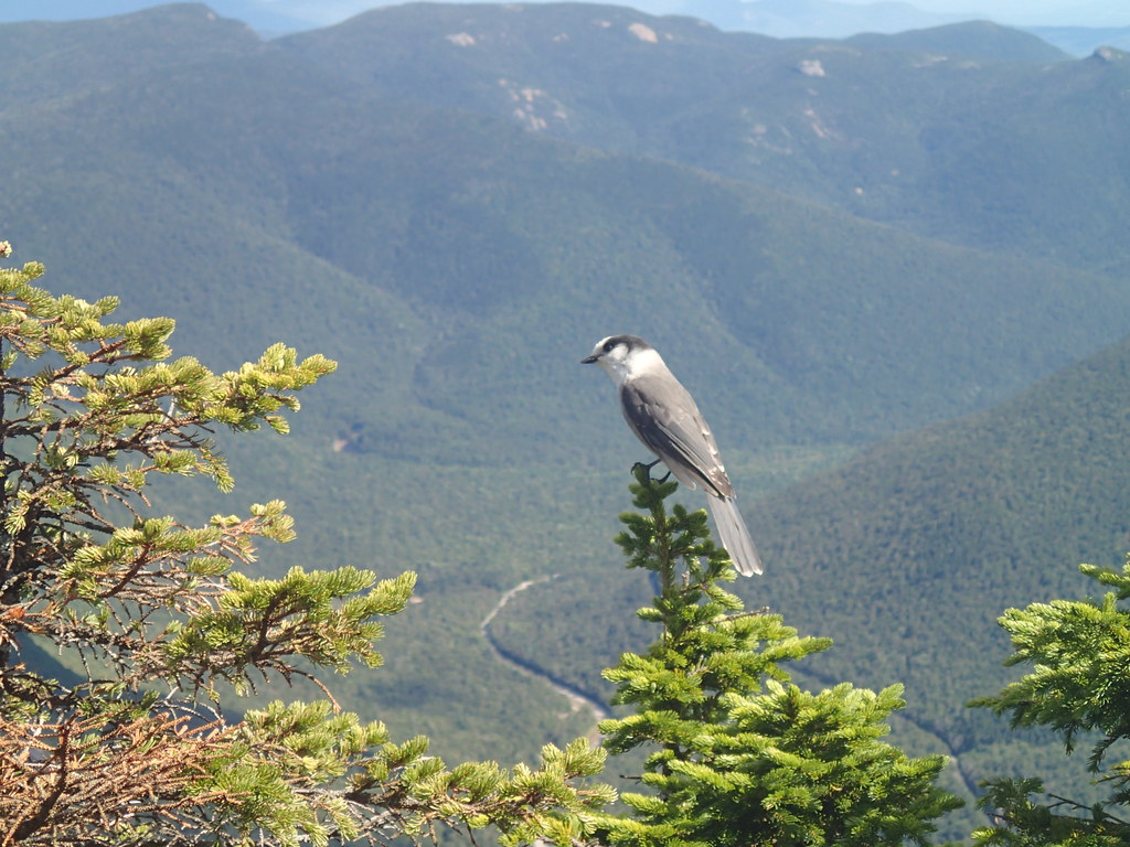 ETHAN POND TRAILHikingPhoto: Northfoot Adventures, CC BY 2.0 (via Flickr)~11 min drive
 Garfield Ridge TrailHikingPhoto: timsackton, CC BY-SA 2.0 (via Flickr)~5 min drive
 Black PondHikingPhoto: Qfamily, CC BY 2.0 (via Flickr)~8 min drive
Daily highs and lows, wind and the chance of precipitation at the summit and route start for the next 7 days, from the Open-Meteo model.
Questions about Bondcliff: conditions, access, timing. Answers say when something isn't known.
Guyot Shelter
Campground
Gordi's Fish and Steak House
Restaurant
 If it rainsKen Gallager, CC BY-SA 4.0 · Wikimedia Commons
Places © OpenStreetMap contributors · Photos: Ken Gallager, CC BY-SA 4.0 (commons)
More in North ConwayAbout 1.2 mi round trip.
About 321 ft of climbing round trip.
It is rated easy.
About 30 minutes round trip.
