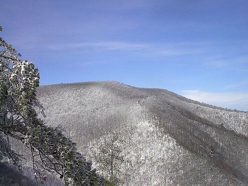
Jacks River
Tennessee
Free — you'll pick up right here.
14.8 mi
Distance
2,782 ft
Gain
6h 1m
Time
No verdict for this trail
We won't guess. Here is exactly what we do and don't know.
What we do know
Inside Chattahoochee-Oconee National Forests
3 managing-area boundaries mapped — agency alerts for them feed this page automatically.
Boundary data
What's missing
No access route mapped
We don't yet know which road reaches this trailhead, so we can't tell you if it's gated.
Nobody's filed a report here yet — be the first.
Why you'll love it
Here's your day, mapped
Jacks River
Suggested plan · check conditions before you go
Meals
Gear for the day
Elevation & route
- Distance
- 14.8 mi
- Elevation gain
- 2,782 ft
- Elevation loss
- 2,782 ft
- Highest point
- 1,556 ft
- Lowest point
- 980 ft
Photos
Directions & GPX
Permits & access
- Managing agency
- State Department of Natural Resources
- Wilderness area
- Cohutta Wilderness
- Bikes
- no
About this trail
Jacks River is a 14.80-mile out-and-back trail in Tennessee that offers hikers the opportunity to explore a scenic corridor while maintaining the flexibility to turn back at any point. This route integrates seamlessly with the broader Benton MacKaye Trail and Beech Bottom Trail system, making it an excellent choice for those looking to experience interconnected backcountry pathways. Whether you're planning a full 14.80-mile adventure or a shorter partial hike, this trail provides access to the wider trail network in the region.
Add to a trip & share
Keep exploring — more trails worth the drive
 Photo: ChattOconeeNF, CC BY 2.0 (via Flickr)
Tear Britches
~15 min drive
6.44-mile out-and-back trail in Georgia with 473 ft gain and 2,161 ft loss.
Photo: ChattOconeeNF, CC BY 2.0 (via Flickr)Emery Creek Trail
~15 min drive
6.01-mile out-and-back trail in Georgia with 468 ft gain and 3,069 ft loss.
Photo: ChattOconeeNF, CC BY 2.0 (via Flickr)Lake Conasauga
~15 min drive
0.99-mile loop trail around Lake Conasauga in Georgia.
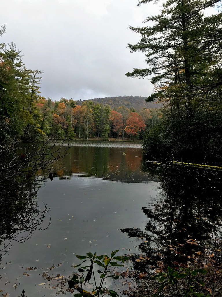 Photo: ChattOconeeNF, CC BY 2.0 (via Flickr)
Grassy Mtn Tower
~15 min drive
3.90-mile out-and-back trail to Grassy Mtn Tower in Georgia, 283 ft gain.
Iron Mountain
~4 min drive
15.38-mile out-and-back trail in Georgia with 1,575 ft elevation gain.
SYLCO LOOP
~6 min drive
23.02-mile out-and-back trail in Tennessee with 3,605 ft elevation gain
 Photo: Ken Lund from Las Vegas, Nevada, USA, CC BY-SA 2.0 (via Wikimedia Commons)
Slickrock Branch Road
~15 min drive
1.43-mile point-to-point trail in Tennessee with 109 ft gain and 497 ft loss.
Photo: Ken Lund from Las Vegas, Nevada, USA, CC BY-SA 2.0 (via Wikimedia Commons)Prince Gap Trail
~14 min drive
7.04-mile out-and-back trail in Tennessee with 1,366 ft elevation gain and loss.
Rice Camp
~5 min drive
Rice Camp is an 8-mile out-and-back trail in Georgia with 526 feet of elevation gain.
Licklog Ridge
~15 min drive
5.16-mile out-and-back trail in Tennessee with 6,517 ft elevation gain.