Acorn
At a glance
Acorn is a moderate out-and-back hike in the San Gabriel Mountains National Monument Ranger District of Angeles National Forest in California, about 3.6 miles long and gaining roughly 1,442 feet of elevation. The trail starts at a low point of about 6,775 feet and climbs to a high point of about 8,245 feet. The route is on natural surface, and it is open to both horses and bikes. It is open year round, and there is no managing agency listed for this trail. Guffy campground sits about 0.6 miles away, and Lupine campground is about 1.7 miles away. The North Devils Backbone and Fish Fork hikes are both within about 1.6 miles. Mount San Antonio (Mt. Baldy) is about 3.9 miles away and offers rock climbing.
- round trip
- 3.6 mi
- climb
- 1,442 ft
- high point
- 8,245 ft
- route
- Out and back
Where it is: San Gabriel Mountains National Monument Ranger District · Angeles National Forest
Near: Wrightwood
Been here? Tell people how it was.
- GuffyCamping0.6 mi
 North Devils BackboneHikingPhoto: On^ste82, CC BY 3.0 (via Wikimedia Commons)1.2 mi
- Fish ForkHiking1.6 mi
- LupineCamping1.7 mi
 Blue Ridge Truck TrailHikingPhoto: Masaru Kamikura, CC BY 2.0 (via Flickr)2.3 mi
- Blue RidgeCamping2.6 mi
- Mount San Antonio (Mt. Baldy)Rock climbing3.9 mi
- Other RoutesRock climbing4.4 mi
- Blue Ridge Truck TrailHikingPhoto: Masaru Kamikura, CC BY 2.0 (via Flickr)~4 min drive
 Register RidgeHikingPhoto: inkknife_2000 (7.5 million views +), CC BY-SA 2.0 (via Wikimedia Commons)~9 min drive
- Three Ts TrailHikingPhoto: inkknife_2000 (7.5 million views +), CC BY-SA 2.0 (via Wikimedia Commons)~10 min drive
 Lightning Ridge Nature TrailHikingPhoto: simonov, CC BY-SA 2.0 (via Flickr)~7 min drive
 Three T'sHikingPhoto: inkknife_2000 (7.5 million views +), CC BY-SA 2.0 (via Wikimedia Commons)~10 min drive
 Jackson LakeHikingPhoto: SuZi Zimmermann, CC BY-SA 3.0 (via Wikimedia Commons)~10 min drive
 Jackson Flat GeologicalHikingPhoto: Rennett Stowe, CC BY 2.0 (via Flickr)~10 min drive
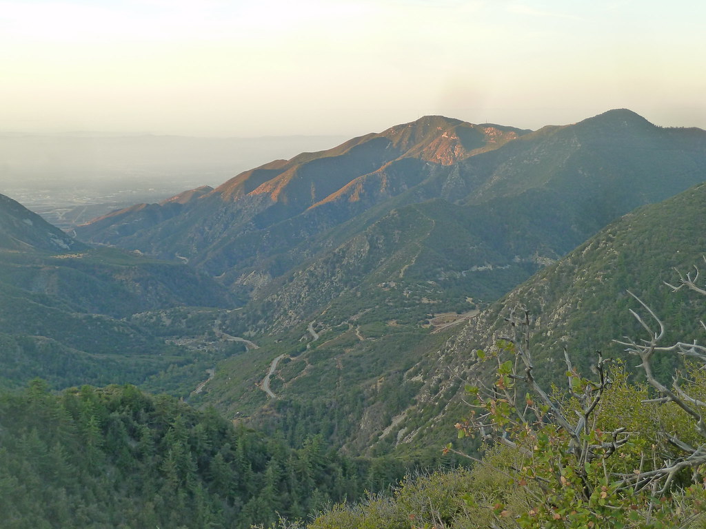 Mt. Baldy TrailHikingPhoto: scorpio-tiger, CC BY-SA 2.0 (via Flickr)~12 min drive
 Chapman TrailHikingPhoto: inkknife_2000 (7.5 million views +), CC BY-SA 2.0 (via Wikimedia Commons)~12 min drive
 Limber Pines VistaHikingPhoto: mjhbower, CC BY-SA 2.0 (via Flickr)~12 min drive
Also worth it near here
 Blue RidgeMountain bikingPhoto: Rennett Stowe from USA, CC BY 2.0 (via Wikimedia Commons)~5 min drive
 Mountain HighDownhill skiingPhoto: Mtf612 at English Wikipedia, Public domain (via Wikimedia Commons)~5 min drive
- San Antonio FallsWaterfall~9 min drive
 Iron MountainSummitPhoto: Self, CC BY 3.0 (via Wikimedia Commons)~9 min drive
Conditions and forecast
Caution todayAgency alerts are in effect for this areaUSFS · checked 12 min agoDaily highs and lows, wind and the chance of precipitation at Start for the next 7 days, from the Open-Meteo model.
Ask about this place
Questions about Acorn: conditions, access, timing. Answers say when something isn't known.
