Guffy
Is Guffy open right now?
Alert in the area
The Forest Service lists 7 alerts for Angeles National Forest.
Rincon-Redbox Road (2N24) Closure
Agency alert covering Angeles National Forest · Order 05-01-26-13 · USFS · Angeles National Forest
Fire Danger Level Elevated to "Very High"
Agency alert covering Angeles National Forest · USFS · Angeles National Forest
San Gabriel Canyon OHV Area Prohibitions
Agency alert covering Angeles National Forest · Order 05-01-26-09 · USFS · Angeles National Forest
San Dimas Experimental Forest Closure
Agency alert covering Angeles National Forest · USFS · Angeles National Forest
Eaton Fire Area Closure
Agency alert covering Angeles National Forest · Order 05-01-26-04 · USFS · Angeles National Forest
As of · Source: USFS · Angeles National Forest. Agencies don't list every closure — check before you go.
- At 8,216 ftHigh camp: expect cold nights, even in summer
- San Gabriel Mountains National Monument Ranger DistrictAngeles National Forest
Guffy is a Forest Service campground in the San Gabriel Mountains National Monument Ranger District of Angeles National Forest in California, about 8,300 feet up. It has six campsites with picnic tables and campfire rings, and vault toilets. There is no water on site, so visitors must bring enough for cooking, cleaning, drinking and extinguishing campfires. The Pacific Crest Trail passes through the area, and the campground sits along Blue Ridge Road, which closes mid-November for winter and reopens mid-May. During that time, the campground is hike-in only. Camping and day use both require an Adventure Pass or America the Beautiful Pass. The closest neighbors are the Acorn and Fish Fork hikes, the Lupine campground and the North Devils Backbone hike, all within about a mile and a half.
- AcornHiking0.6 mi
- Fish ForkHiking1 mi
- LupineCamping1.1 mi
 North Devils BackboneHikingPhoto: On^ste82, CC BY 3.0 (via Wikimedia Commons)1.3 mi
- Blue RidgeCamping2.3 mi
- Mount San Antonio (Mt. Baldy)Rock climbing3.7 mi
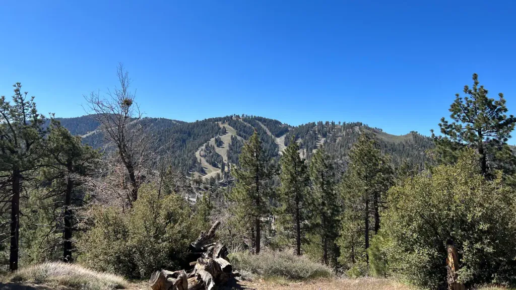 Table Mountain (angeles)CampingPhoto: Recreation.gov (RIDB) / public domain3.7 mi
- Other RoutesRock climbing4.2 mi
Source: Roamze catalog (indexable pages within 10 miles, PostGIS distance)
- Table Mountain (angeles)Camping · ~6 min drive
- Deer Group CampCamping · ~18 min drive
- Mountain OakCamping · ~10 min drive
- LupineCamping · ~2 min drive
- Blue RidgeCamping · ~4 min drive
- Little Fish ForkCamping · ~4 min drive
- Cabin FlatCamping · ~4 min drive
- Paiute Canyon Yellow Post SitesCamping · ~6 min drive
- Table Mountain CampgroundCamping · ~7 min drive
- Gobbler's Knob Yellow Post SitesCamping · ~8 min drive
Also worth it near here
- PCT Wright Mt to Inspiration PMountain biking · ~2 min drivePhoto: On^ste82, CC BY 3.0 (via Wikimedia Commons)
- North Devils BackboneHiking · ~2 min drivePhoto: On^ste82, CC BY 3.0 (via Wikimedia Commons)
 Mountain HighDownhill skiing · ~5 min drivePhoto: Mtf612 at English Wikipedia, Public domain (via Wikimedia Commons)
- Mount San Antonio (Mt. Baldy)Rock climbing · ~6 min drive
