
The Sawmill Station
Hiking business nearby (~41 mi away) — hasn't claimed their Roamze page yet
Idaho
Free — you'll pick up right here.
16.9 mi
Distance
3,121 ft
Gain
No agency boundary, access route or field report is mapped to it — so there is no verdict, and we won't guess. We'll tell you the moment this trail has something to say.
Covered nearby
Trails within 25 miles where we do have a current picture.
Nobody's filed a report here yet — be the first.
Why you'll love it
Little Morgan-Morse Creek
Suggested plan · check conditions before you go
Little Morgan-Morse Creek is a 16.95-mile out-and-back trail in Idaho managed by the Bureau of Land Management. The route gains 3,121 feet of elevation.
 Photo: User:akampfer, CC BY-SA 3.0 (via Wikimedia Commons)
Mckim Creek
~17 min drive
1.90-mile out-and-back trail in Idaho with 551 ft elevation gain.
 Photo: waterarchives, CC BY-SA 2.0 (via Flickr)
Lime Creek
~29 min drive
10.55-mile out-and-back trail in Idaho with 2,555 ft of elevation gain.
PATTERSON-MORSE CREEK
~11 min drive
4.54-mile out-and-back trail in Idaho with 2,318 ft elevation gain/loss.
HAYDEN CREEK
~13 min drive
19.88-mile out-and-back trail in Idaho with 4,485 ft gain and 9,045 ft max elevation.
Mckim Stock
~19 min drive
0.78-mile out-and-back trail in Idaho with 206 ft of elevation gain.
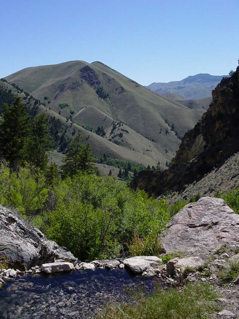 Photo: Ben B Miller, CC BY-SA 2.0 (via Flickr)
Goldbug Hot Springs Trail
~27 min drive
2.72-mile out-and-back hike in Idaho with 1,151 ft elevation gain and loss.
POISON-COW CREEK
~9 min drive
8.44-mile out-and-back trail in Idaho with 2,967 ft elevation gain and loss.
MORSE CREEK CANYON
~13 min drive
4.52-mile out-and-back in Idaho with 2,099 ft gain and 8,515 ft max elevation.
MILL-HAYDEN LOOP WT
~26 min drive
18.14-mile out-and-back trail in Idaho with 4,094 ft elevation gain/loss.
LITTLE MORGAN-COW CREEK
~1 min drive
1.12-mile out-and-back trail in Idaho with 276 ft elevation gain.
Local operatorsoffering guided trips. You book directly with them — Roamze doesn’t take a cut.
The Sawmill Station
Hiking business nearby (~41 mi away) — hasn't claimed their Roamze page yet
