Trout Cr Trail
At a glance
Trout Cr Trail is a hard hike in Wyoming's Shoshone National Forest, within the Wapiti Ranger District. The trail is an out-and-back route of about 19 miles, with a total elevation gain of 2,192 feet. It starts at a low point of about 7,560 feet and climbs to a high point of about 9,310 feet. The trail is accessible and allows horses. Its natural surface makes it a straightforward choice for riders and hikers alike. The trail is open year-round, and the surrounding area offers plenty to pair with it. Trout Creek, a canoeing spot, lies about a mile away. Four Bear Mountain Trail and Jim Mountain Cutaccross are both within about a mile and a half. West Fork Trout Cr is about 3.6 miles off.
- round trip
- 19.2 mi
- climb
- 2,192 ft
- high point
- 9,310 ft
- route
- Out and back
- time
- About 7.5 hours
Where it is: Wapiti Ranger District · Shoshone National Forest
Near: Cody
Been here? Tell people how it was.
- Trout CreekCanoeing1.1 mi
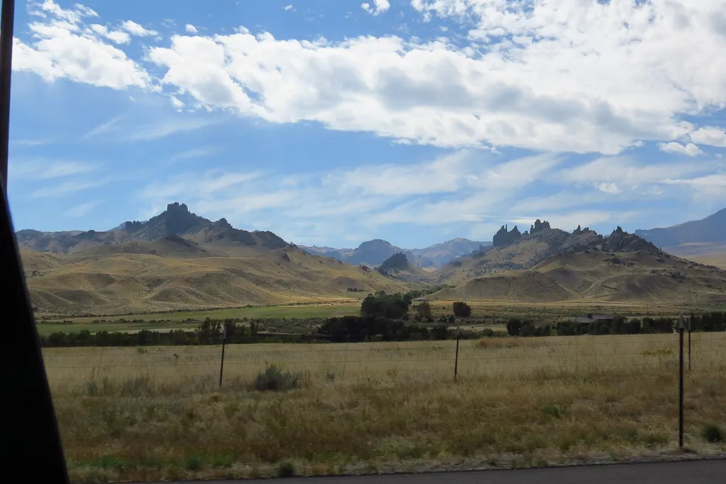 Four Bear Mountain TrailHikingPhoto: George Bannister from Woodville, MS, USA — Wikimedia Commons (CC BY 2.0)1.2 mi
- Jim Mountain CutaccrossHiking1.3 mi
- Jim Mountain TrailHiking2.8 mi
- West Fork Trout CrHiking3.6 mi
- North Fork Shoshone R AccessRiver fishing4 mi
- Wapiti BridgeRiver fishing4.1 mi
- Stagecoach Trl Fishing AccessRiver fishing4.7 mi
Conditions and forecast
Daily highs and lows, wind and the chance of precipitation at Start for the next 7 days, from the Open-Meteo model.
Ask about this place
Questions about Trout Cr Trail: conditions, access, timing. Answers say when something isn't known.
