
Camp Perkins
Hiking business nearby (~39 mi away) — hasn't claimed their Roamze page yet
Idaho
Free — you'll pick up right here.
20.5 mi
Distance
2,124 ft
Gain
We won't guess. Here is exactly what we do and don't know.
What we do know
Inside Sawtooth National Forest
2 managing-area boundaries mapped — agency alerts for them feed this page automatically.
Boundary data
What's missing
No access route mapped
We don't yet know which road reaches this trailhead, so we can't tell you if it's gated.
Nobody's filed a report here yet — be the first.
Why you'll love it
Federal Gulch
Suggested plan · check conditions before you go
Source for bikes, horses, surface: USDA Forest Service National Forest System Trails (EDW)
Federal Gulch is a 20.51-mile out-and-back trail in Idaho with 2,124 feet of elevation gain. The trail follows a straightforward route type and is managed by the Forest Service.
Source: Roamze elevation profile and trail geometry (DEM samples along the mapped route)
Active alerts for Sawtooth National Forest as of Oct 9, 2026:
Stinson Creek Prescribed Burn Restricted Access
caution · posted Oct 5, 2026
Public Safety – Occupancy and Use
information · posted Sep 11, 2026
Occupancy and Use - Food Storage
caution · posted Aug 24, 2026
information · posted Aug 24, 2026
Hemingway-Boulders and Cecil D. Andrus-White Clouds Wilderness Areas - Occupancy and Use
information · posted Aug 24, 2026
Sawtooth Wilderness Area Occupancy and Use
information · posted Aug 24, 2026
Over-Snow Vehicle and Bicycle Prohibitions
caution · posted Aug 24, 2026
Sawtooth National Recreation Area - Occupancy and Use
information · posted Aug 24, 2026
Boating, Swimming, and Salmon River Corridor Use Prohibitions
information · posted Aug 24, 2026
information · posted Aug 24, 2026
Source: USFS forest alerts
Source: Roamze catalog (indexable pages within 10 miles, PostGIS distance)
 Photo: ArtBrom, CC BY-SA 2.0 (via Flickr)
Trail Creek
~16 min drive
2.11-mile out-and-back trail at Trail Creek in Idaho with 65 ft of elevation gain.
Photo: ArtBrom, CC BY-SA 2.0 (via Flickr)Corral Creek
~16 min drive
8.65-mile out-and-back trail in Idaho with 350 ft gain.
Timber Draw
~2 min drive
3.91-mile loop trail in Idaho with 1,957 ft elevation gain.
Hyndman-North Fork
~5 min drive
8.32-mile out-and-back trail in Idaho with 2,399 ft gain.
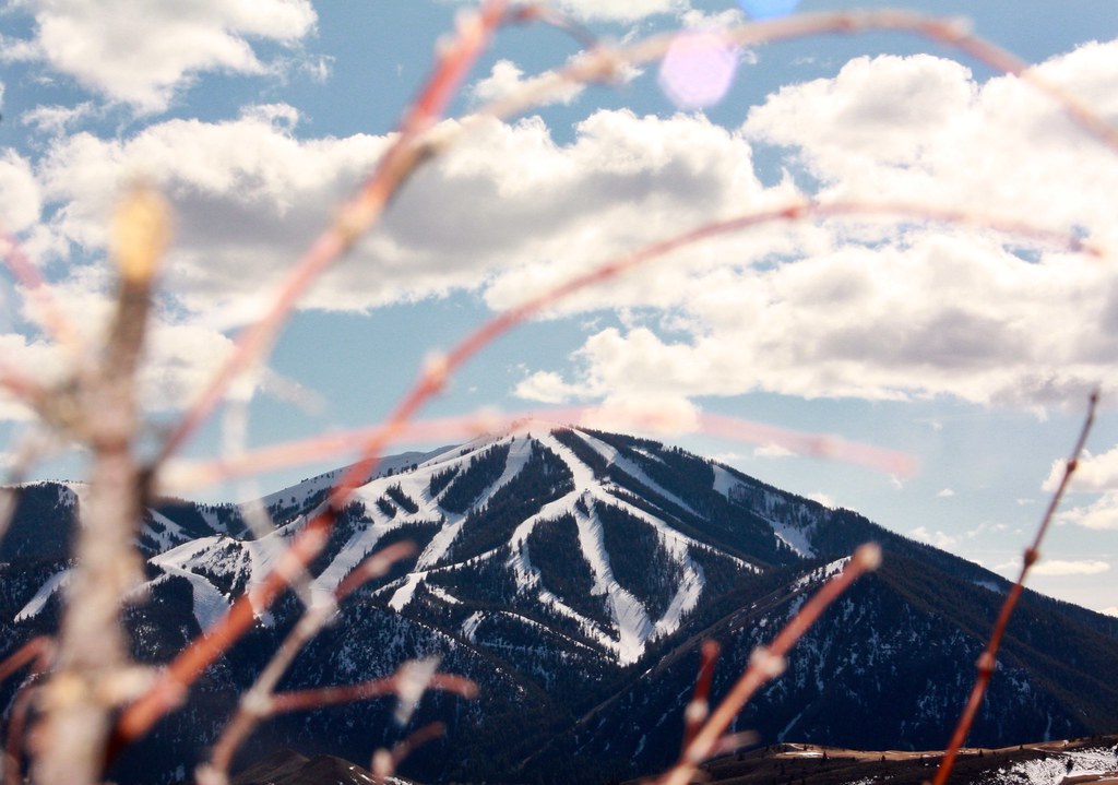 Photo: Chloé François, CC BY 2.0 (via Flickr)
Aspen Loop
~16 min drive
2.60-mile out-and-back trail in Idaho with 637 ft elevation gain.
Photo: ArtBrom, CC BY-SA 2.0 (via Flickr)Proctor Mountain
~16 min drive
8.80-mile out-and-back hike to Proctor Mountain summit in Idaho with 1,097 ft gain.
Big Basin
~5 min drive
3.91-mile out-and-back trail in Idaho with 1,220 ft elevation gain.
Bear Canyon-Broad Canyon Spur1
~17 min drive
2.24-mile out-and-back trail in Idaho with 1,062 ft elevation gain.
 Photo: Kade Godfrey, CC BY 3.0 (via Wikimedia Commons)
FALL CREEK SPUR 1
~21 min drive
3.18-mile out-and-back trail in Idaho with 615 ft elevation gain.
Hyndman Creek
~5 min drive
7.25-mile out-and-back trail in Idaho with 1,679 ft elevation gain.
Local operatorsoffering guided trips. You book directly with them — Roamze doesn’t take a cut.
Camp Perkins
Hiking business nearby (~39 mi away) — hasn't claimed their Roamze page yet
The Sawmill Station
Hiking business nearby (~43 mi away) — hasn't claimed their Roamze page yet
