
Camp Rich Tentsite
Campground
1.6 mi from the trail
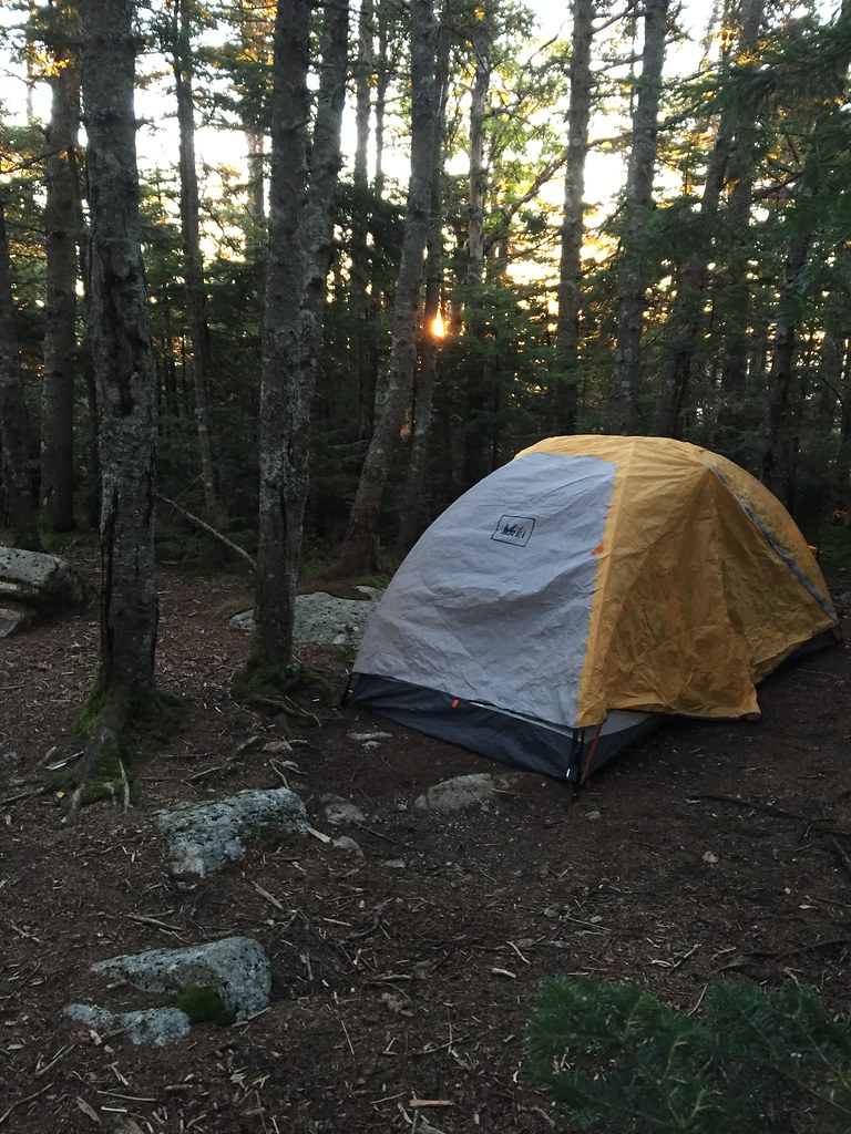 Photo: drsmith7383, CC BY 2.0 (via Flickr)
The Kate Sleeper Trail is a 5-mile out-and-back hike in the Sandwich Range Wilderness, part of the Saco Ranger District of the White Mountain National Forest in New Hampshire. The Forest Service manages the land, and the trail is rated moderate, with a one-way elevation gain of 700 feet and a total round-trip gain of about 1,467 feet. The route rises from a low point of about 3,445 feet to a high point of about 3,913 feet. The climb is rolling, and the steepest stretch comes at about 2.1 miles in, with a grade of about 25%. The trail is natural-surfaced and not accessible, and bikes are not allowed. The trail is open year-round, and the estimated time for the round trip is about 2.5 hours. The Rollins Trail and McCrillis Trail both start about 0.1 mile away, and the Tom Wiggin Trail is about 1.3 miles off. For an overnight stay, Passaconaway campground is about 4.7 miles away.
Where it is: Sandwich Range Wilderness · Saco Ranger District
Near: Laconia
Been here? Tell people how it was.
Rollins TrailHikingPhoto: drsmith7383, CC BY 2.0 (via Flickr)0.1 mi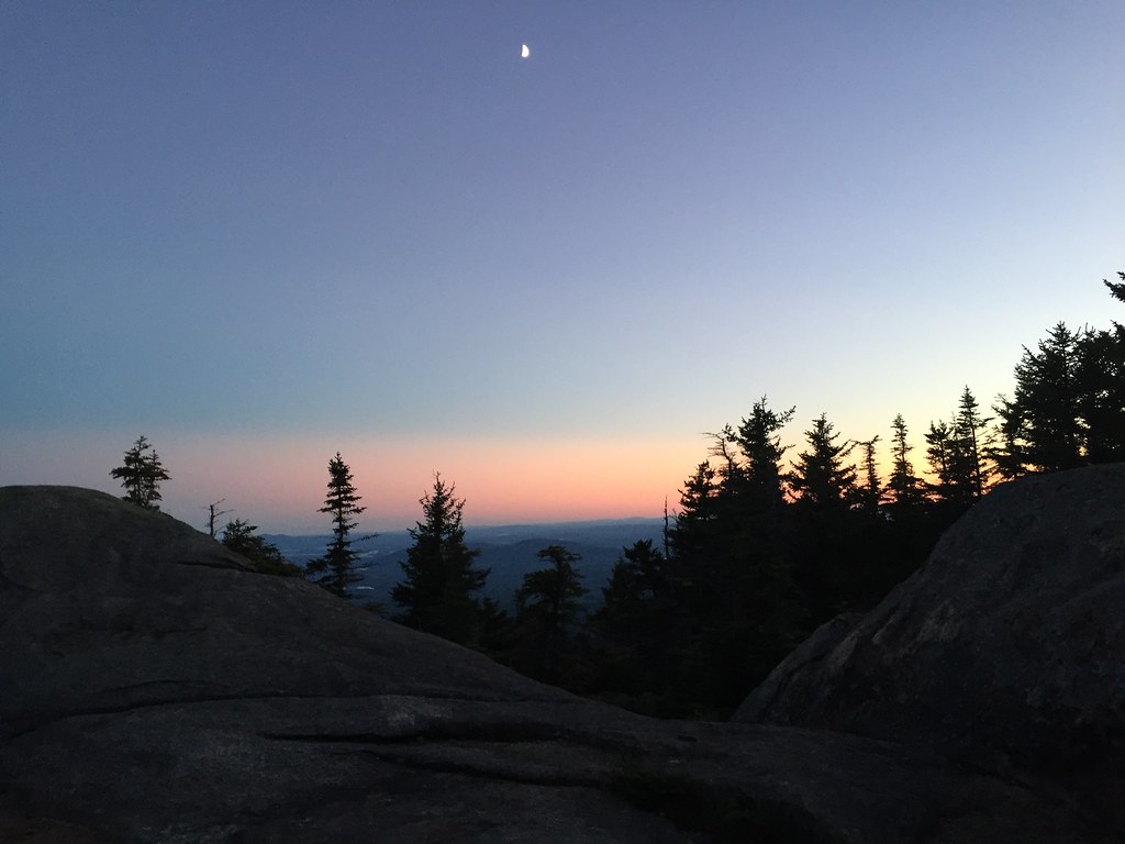 Mccrillis TrailHikingPhoto: drsmith7383, CC BY 2.0 (via Flickr)0.1 mi
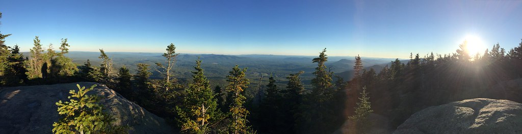 Tom Wiggin TrailHikingPhoto: drsmith7383, CC BY 2.0 (via Flickr)1.3 miMccrillis TrailHikingPhoto: drsmith7383, CC BY 2.0 (via Flickr)Next doorTom Wiggin TrailHikingPhoto: drsmith7383, CC BY 2.0 (via Flickr)~2 min drive
 Mt. Tripyramid TrailHikingPhoto: drsmith7383, CC BY 2.0 (via Flickr)~4 min drive
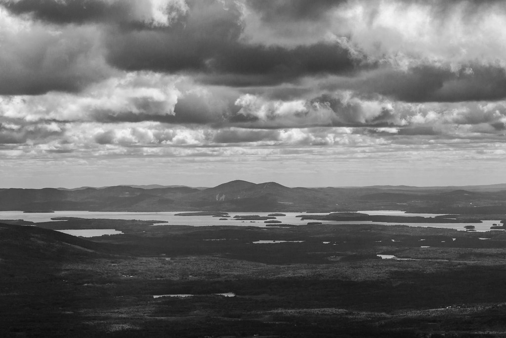 Passaconway CutoffHikingPhoto: timsackton, CC BY-SA 2.0 (via Flickr)~4 min drive
 TRIPYRAMID LOOPHikingPhoto: timsackton, CC BY-SA 2.0 (via Flickr)~6 min driveMt. Tripyramid TrailHikingPhoto: timsackton, CC BY-SA 2.0 (via Flickr)~5 min drive
Daily highs and lows, wind and the chance of precipitation at the summit and route start for the next 7 days, from the Open-Meteo model.
Questions about Kate Sleeper Trail: conditions, access, timing. Answers say when something isn't known.
Camp Rich Tentsite
Campground
 If it rainsKen Gallager, CC BY-SA 4.0 · Wikimedia Commons
Places © OpenStreetMap contributors · Photos: Ken Gallager, CC BY-SA 4.0 (commons)
More in North ConwayAbout 5.0 mi round trip.
About 1,467 ft of climbing round trip.
It is rated moderate.
About 2 hours round trip.
Year-round.
2: KATE SLEEPER TRAIL and Kate Sleeper Trail.
