

Camp Always Choose Adventures
Hiking business nearby (~14 mi away) — hasn't claimed their Roamze page yet
Colorado
Free — you'll pick up right here.
6.3 mi
Distance
1,992 ft
Gain
We won't guess. Here is exactly what we do and don't know.
What we do know
Inside Arapaho and Roosevelt National Forests
3 managing-area boundaries mapped — agency alerts for them feed this page automatically.
Boundary data
What's missing
No access route mapped
We don't yet know which road reaches this trailhead, so we can't tell you if it's gated.
Nobody's filed a report here yet — be the first.
Why you'll love it
Arapaho Pass
Suggested plan · check conditions before you go
Source for horses, surface: USDA Forest Service National Forest System Trails (EDW)
Arapaho Pass is a 6.35-mile out-and-back trail in Colorado managed by Arapaho and Roosevelt National Forests. The route gains 1,992 feet of elevation and reaches a maximum elevation of 11,905 feet.
Source: Roamze elevation profile and trail geometry (DEM samples along the mapped route)
Source: Wilderness.net boundaries; USFS EDW boundaries; USGS PAD-US 4.1
Active alerts for Boulder Ranger District as of Oct 9, 2026:
Raptor Nesting Area Closure - Boulder Ranger District
caution · posted Aug 24, 2026
caution · posted Aug 24, 2026
Source: USFS forest alerts
Source: Roamze catalog (indexable pages within 10 miles, PostGIS distance)
 Photo: Greg Willis, CC BY-SA 3.0 (via Wikimedia Commons)
Diamond Lake Trail
~0 min drive
2.55-mile trail in Colorado with 400 ft elevation gain and a max elevation of 10,200 ft.
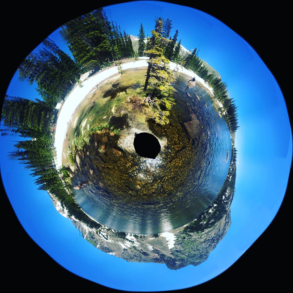 Photo: katiebordner, CC BY 2.0 (via Flickr)
Chittenden Mtn
~5 min drive
4.80-mile out-and-back trail in Colorado with 1,487 ft gain.
 Photo: Ben Makuh, CC BY-SA 2.0 (via Flickr)
Horseshoe Creek
~7 min drive
0.64-mile out-and-back trail at 9,813 ft elevation in Colorado.
 Photo: matthewevans1991, CC BY-SA 2.0 (via Flickr)
Kiowa Peak
~10 min drive
Route to the summit of Kiowa Peak (13,156 ft) from Long Lake Trailhead.
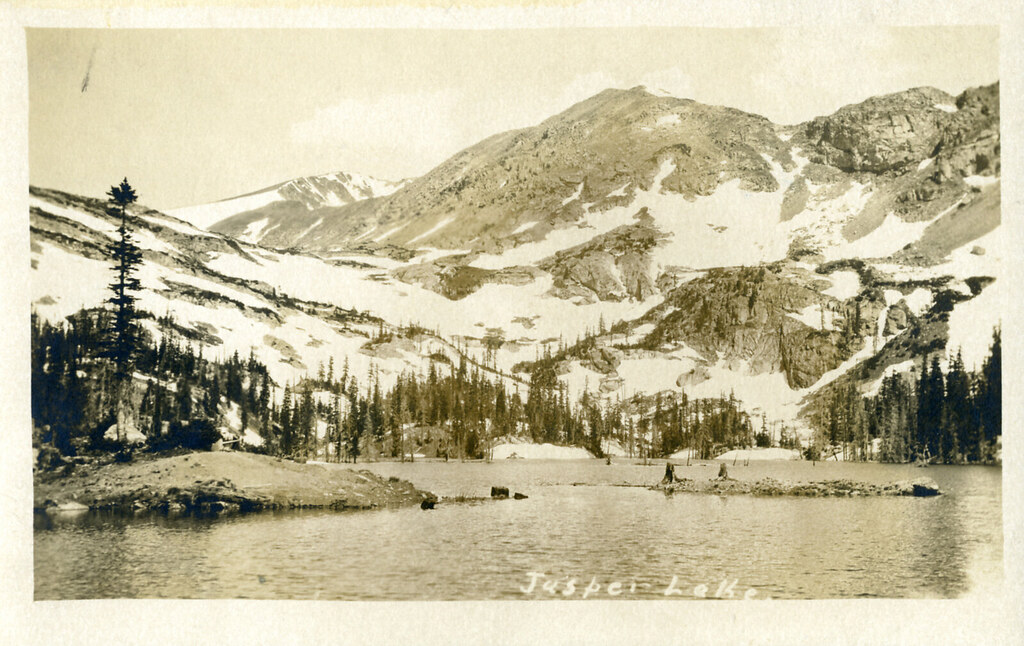 Photo: waterarchives, CC BY-SA 2.0 (via Flickr)
Diamond Lake Trail
~3 min drive
1.7-mile out-and-back hike to Diamond Lake in Colorado with 862 ft of gain.
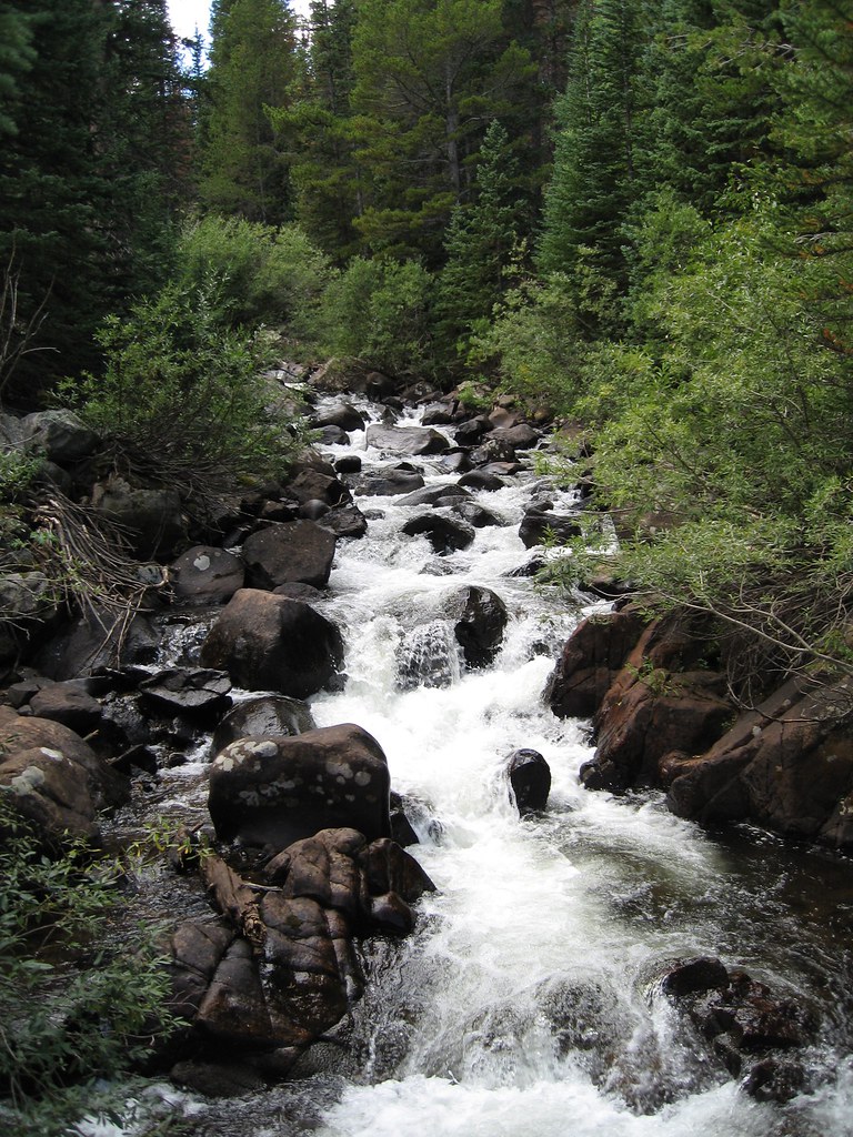 Photo: laurascudder, CC BY-SA 2.0 (via Flickr)
Devils Thumb
~6 min drive
13.09-mile out-and-back trail in Colorado with 4,982 ft elevation gain.
 Photo: matthewevans1991, CC BY-SA 2.0 (via Flickr)
Niwot Cutoff Trail
~10 min drive
1.22-mile out-and-back trail in Colorado with 440 ft elevation gain
Photo: matthewevans1991, CC BY-SA 2.0 (via Flickr)Apache Peak
~10 min drive
Route to the summit of Apache Peak (13,442 ft) from Long Lake Trailhead.
Photo: laurascudder, CC BY-SA 2.0 (via Flickr)King Lake
~6 min drive
4.45-mile loop trail at 11,665 ft with 1,486 ft gain in Colorado.
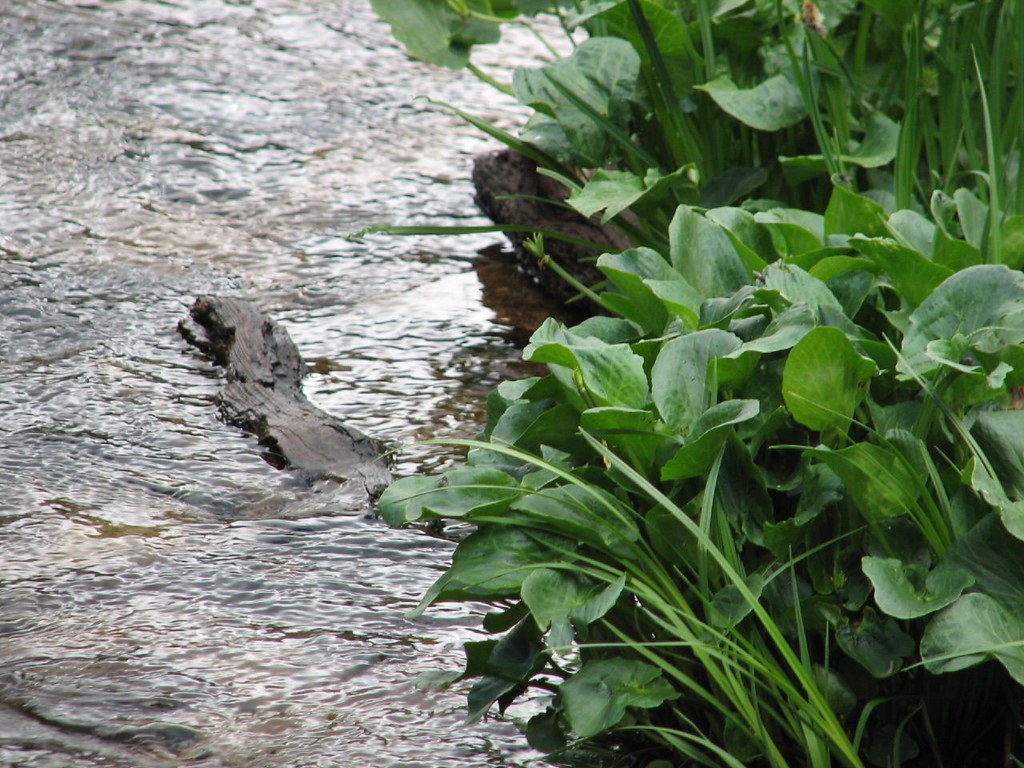 Photo: Ben Makuh, CC BY-SA 2.0 (via Flickr)
Isabelle Glacier
~8 min drive
4.45-mile out-and-back hike to Isabelle Glacier in Colorado, gaining 1,120 ft.
Local operatorsoffering guided trips. You book directly with them — Roamze doesn’t take a cut.
Camp Always Choose Adventures
Hiking business nearby (~14 mi away) — hasn't claimed their Roamze page yet
Wildcat Mountaineering
Hiking business nearby (~25 mi away) — hasn't claimed their Roamze page yet
Lostfork Basecamp
Hiking business nearby (~37 mi away) — hasn't claimed their Roamze page yet
