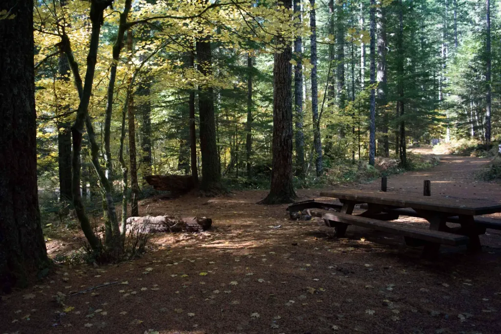

Lower Falls Campground
Campground
4.5 mi from the trail
Cave Falls is an easy out-and-back hike in Washington's Gifford Pinchot National Forest, within the Mount St. Helens National Volcanic Monument ranger district. The trail is 0.76 miles long, with a one-way elevation gain of 141 feet, and it rises from about 1,784 feet to about 1,909 feet. Summer is the most comfortable time to go. Typical averages from a nearby weather station show July and August highs around 84°F with lows near 50°F, while winter highs stay in the upper 30s. The trail is not accessible, and the Forest Service lists it as a natural-surface route. The closest neighbor is the Speed hike, about half a mile away. House Rock and the Lewis River Trail are each roughly 2.5 miles out. Paddlers can find Rush Creek about 4 miles away.
Where it is: Mount St. Helens National Volcanic Monument · Gifford Pinchot National Forest
Near: Stevenson
Best months: April–October. Best months have typical highs of 55–85 °F, lows of 30 °F or warmer (32 °F where the station doesn't record snow), at most one snowy day and no more than 12 wet days.
Jan
39°
26°
Feb
43°
27°
Mar
49°
29°
Apr
58°
33°
May
68°
40°
Jun
74°
45°
Jul
84°
50°
Aug
84°
49°
Sep
75°
42°
Oct
60°
35°
Nov
45°
30°
Dec
37°
25°
Typical high / low (°F) and days with rain or snow, 1991–2020. Measured at Mt Adams Rs, WA, 19 mi away at 1,950 ft. This station doesn't record snowfall. Source: NOAA NCEI U.S. Climate Normals 1991–2020.
Been here? Tell people how it was.
 BluffHikingPhoto: U.S. Forest Service- Pacific Northwest Region, Public domain (via Wikimedia Commons)~6 min driveLower Falls Horse BypassHikingPhoto: U.S. Forest Service- Pacific Northwest Region, Public domain (via Wikimedia Commons)~7 min drive
 Cedar FlatsHikingPhoto: BFS Man from Webster, TX, USA, CC BY 2.0 (via Wikimedia Commons)~9 min driveMiddle FallsHikingPhoto: U.S. Forest Service- Pacific Northwest Region, Public domain (via Wikimedia Commons)~9 min drive
Daily highs and lows, wind and the chance of precipitation at Start for the next 7 days, from the Open-Meteo model.
Questions about Cave Falls: conditions, access, timing. Answers say when something isn't known.
Lower Falls Campground
Campground
Trout Lake Hall
Restaurant
Places © OpenStreetMap contributors
More in Trout LakeNot on Roamze yet. Their page has how to reach them.
