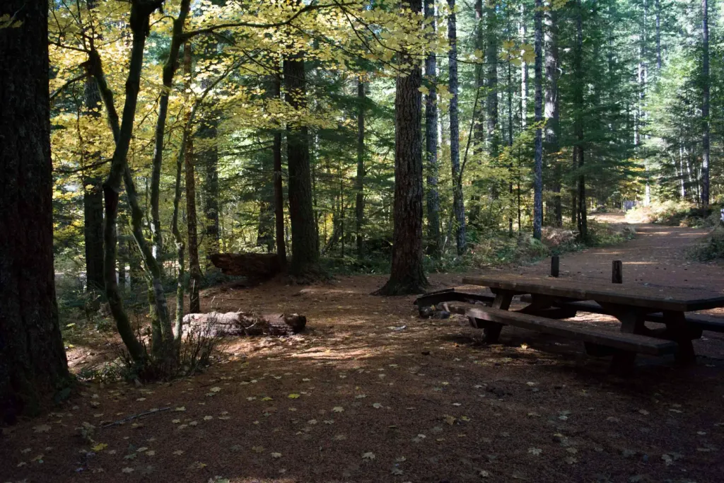
Lower Falls Campground
Campground
Campground · 1.0 mi from the trail
 Photo: U.S. Forest Service- Pacific Northwest Region, Public domain (via Wikimedia Commons)
Alert in the area
The Forest Service lists 6 alerts for Gifford Pinchot National Forest.
Fire Restrictions
Agency alert covering Gifford Pinchot National Forest · USFS · Gifford Pinchot National Forest
Seasonal Road Closures
Agency alert covering Gifford Pinchot National Forest · USFS · Gifford Pinchot National Forest
Road Repairs & Road Closures in 2026
Agency alert covering Gifford Pinchot National Forest · USFS · Gifford Pinchot National Forest
Washout on Forest Road 93
Agency alert covering Gifford Pinchot National Forest · USFS · Gifford Pinchot National Forest
Upper State Route 504 closed at milepost 45.2 due to large slide
Agency alert covering Gifford Pinchot National Forest · USFS · Gifford Pinchot National Forest
As of · Source: USFS · Gifford Pinchot National Forest. Agencies don't list every closure — check before you go.
Middle Falls is a short out-and-back hike on gravel in Washington, set within the Mount St. Helens National Volcanic Monument ranger district of Gifford Pinchot National Forest, about 8 miles from the town of Tire Junction. The trail, Middle Falls Trail #31C, links into the broader Lewis River Trail #31 system, so it's easy to extend the walk if you want to. The trail is rated easy and covers just under a mile, with a total elevation gain of 210 feet. The route rises to about 1,756 feet, and the steepest stretch comes early on, at about 9 percent grade. Because the Forest Service lists it as not accessible, plan on the gravel surface and gentle climb rather than a fully accessible route. Summer is the most comfortable time to go. Typical averages from a nearby weather station show July and August highs around 84°F, while September cools to about 75°F with lows near 42°F. Lower Falls Campground sits about a mile away, and the Lower Falls Horse Bypass and Quartz Creek are both within about 1.3 miles. Tillicum Campground is about 5 miles off.
Lower Falls Campground
Campground
Trout Lake Hall
Restaurant
Places © OpenStreetMap contributors
More in Trout LakeNot on Roamze yet. Their page has how to reach them.
 Lower Falls CampgroundCampingPhoto: Recreation.gov (RIDB) / public domain1 miLower Falls Horse BypassHikingPhoto: U.S. Forest Service- Pacific Northwest Region, Public domain (via Wikimedia Commons)1.2 mi
 Lewis RiverCanoeingPhoto: pfly, CC BY-SA 2.0 (via Wikimedia Commons)5.5 mi
Source: Roamze catalog (indexable pages within 10 miles, PostGIS distance)
Lower Falls Horse BypassHiking · ~2 min drivePhoto: U.S. Forest Service- Pacific Northwest Region, Public domain (via Wikimedia Commons)BluffHiking · ~4 min drivePhoto: U.S. Forest Service- Pacific Northwest Region, Public domain (via Wikimedia Commons) Cedar FlatsHiking · ~14 min drivePhoto: BFS Man from Webster, TX, USA, CC BY 2.0 (via Wikimedia Commons)
Best months: April–October. Best months have typical highs of 55–85 °F, lows of 30 °F or warmer (32 °F where the station doesn't record snow), at most one snowy day and no more than 12 wet days.
Jan
39° / 26°
Feb
43° / 27°
Mar
49° / 29°
Apr
58° / 33°
May
68° / 40°
Jun
74° / 45°
Jul
84° / 50°
Aug
84° / 49°
Sep
75° / 42°
Oct
60° / 35°
Nov
45° / 30°
Dec
37° / 25°
Typical high / low (°F) and days with rain or snow, 1991–2020. Measured at Mt Adams Rs, WA, 19.4 mi away at 1,950 ft. This station doesn't record snowfall. Source: NOAA NCEI U.S. Climate Normals 1991–2020.

