
Bigelow
Arizona
Free — you'll pick up right here.
1.7 mi
Distance
580 ft
Gain
52 min
Time
Conditions: Blocked
for hike, todayAn agency closure order is in effect for this area; weather is good
2 factors · 2 sources
Newest 5 h ago · oldest 5 h
problem: Agency alerts
15 active alerts in Santa Catalina Ranger District; most severe: Marshall Gulch Closure Order
USFSPosted Jul 30 · checked 5 h ago
clear: Weather
Clouds, high 85°F / low 65°F, 20% precip — 85/100 for hike
OpenWeather5 h ago
Been out here in the last few days? One report keeps this current for everyone.
Why you'll love it
Here's your day, mapped
Bigelow
Suggested plan · check conditions before you go
Meals
Gear for the day
Elevation & route
- Distance
- 1.7 mi
- Elevation gain
- 580 ft
- Highest point
- 8,510 ft
- Lowest point
- 7,931 ft
Photos
Directions & GPX
Permits & access
- Managing agency
- Forest Service
- Bikes
- Allowed
- Surface
- Natural
- Accessibility
- Not an accessible trail (Forest Service accessibility status)
Source for bikes, surface, accessibility: USDA Forest Service National Forest System Trails (EDW)
About this trail
Bigelow is a 1.73-mile out-and-back trail in Arizona with 580 feet of elevation gain. The trail follows a straightforward out-and-back route type.
Facts about this trail
The climb
- High point
- 8,510 ft
- Length (round trip)
- 1.7 mi
- Shape
- Out and back
Source: Roamze elevation profile and trail geometry (DEM samples along the mapped route)
Where it is
- Santa Catalina Ranger District · Ranger district
- Coronado National Forest · National forest
- Managed by
- Forest Service
Conditions
Active alerts for Santa Catalina Ranger District as of Oct 9, 2026:
critical · posted Sep 3, 2026
Tanque Verde Falls Camping Closure
information · posted Aug 24, 2026
Sabino and Bear Canyon Closure Order 03-05-03-25-002
information · posted Aug 24, 2026
information · posted Aug 24, 2026
Bear Wallow Riparian Area Closure
information · posted Aug 24, 2026
Tanque Verde Fall Camping Closure
information · posted Aug 24, 2026
Rose Canyon Lake restriction to being in or on the lake
information · posted Aug 24, 2026
Source: USFS forest alerts
Nearby
- Palisades Ranger Residence CabinCamping0.1 mi
- Bigelow Trail #520Mountain biking0.2 mi
- Upper cragRock climbing0.3 mi
- KelloggMountain biking0.4 mi
- Boyscout WallRock climbing0.4 mi
- Showers Point Group SiteCamping0.4 mi
- Travis WaltonRock climbing0.5 mi
- KnaggeHiking0.6 mi
Source: Roamze catalog (indexable pages within 10 miles, PostGIS distance)
Add to a trip & share
Keep exploring — more trails worth the drive
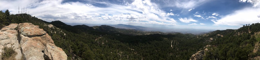 Photo: 666isMONEY ☮ ♥ & ☠, CC BY 2.0 (via Flickr)
Palisade
~2 min drive
12.74-mile out-and-back trail in Arizona with 1,161 ft elevation gain.
 Photo: 666isMONEY ☮ ♥ & ☠, CC BY 2.0 (via Flickr)
Rose Canyon Lake
~2 min drive
0.32-mile out-and-back trail to Rose Canyon Lake in Arizona.
 Photo: theojones2, Public Domain Dedication (CC0) (via Flickr)
Bug Springs Trail
~5 min drive
8.80-mile out-and-back trail in Arizona with 250 ft of elevation gain.
 Photo: theojones2, Public Domain Dedication (CC0) (via Flickr)
Aviator
~9 min drive
0.84-mile out-and-back trail in Arizona with 158 ft elevation gain.
Oracle Ridge Trail #1
~9 min drive
A 7.85-mile out-and-back dirt trail in Arizona ideal for hikers looking for a straightforward desert hiking experience.
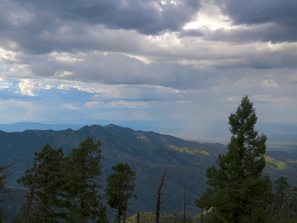 Photo: treegrow, CC BY 2.0 (via Flickr)
Davis Spring
~2 min drive
12.09-mile out-and-back trail to Davis Spring in Arizona with 282 ft gain.
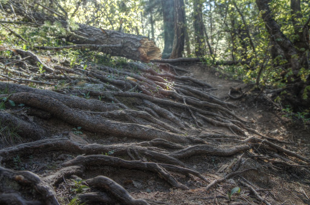 Photo: dennyforreal, CC BY 2.0 (via Flickr)
Box Spring Trail #22A
~4 min drive
0.62-mile out-and-back trail in Arizona with 288 ft of elevation gain.
 Photo: KimonBerlin, CC BY-SA 2.0 (via Flickr)
Marshall Gulch Trail #3
~7 min drive
A moderate 1.30-mile out-and-back trail in Arizona that connects to Aspen Trail #93, ideal for hikers seeking a straightforward mountain experience.
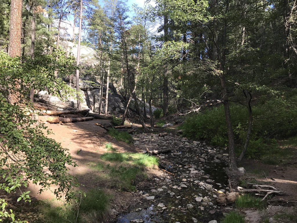 Photo: 666isMONEY ☮ ♥ & ☠, CC BY 2.0 (via Flickr)
Aspen
~5 min drive
7.87-mile out-and-back trail in Arizona with 1,610 ft elevation gain.
 Photo: Katja Schulz from Washington, D. C., USA, CC BY 2.0 (via Wikimedia Commons)
Maverick Spring Trail #704
~4 min drive
0.76-mile out-and-back hike to Maverick Spring in Arizona with 242 ft gain.

