
Dry River Shelter # 3
Campground
3.2 mi from the trail
Ammonoosuc Ravine is a moderate out-and-back hike in the Pemigewasset Ranger District of White Mountain National Forest in New Hampshire, managed by the Forest Service. The trail is about 5.5 miles long, with a total elevation gain of about 2,666 feet, and it reaches a high point of about 5,015 feet. The climb is steepest around the 2-mile mark, with a grade of about 54 percent. The trail is natural-surface and allows bikes, so it works for hikers and riders alike. Summer is the most comfortable time to go. Typical averages from a nearby weather station on Mount Washington show July highs around 55°F and lows near 44°F, with no snow days. That station sits about 1,250 feet higher than the trail, so temperatures on the ravine run a little warmer. Jewell and Jewell Spur are both within a mile. Nauman Tentsite and Hermit Lake Complex offer camping about 3.7 miles away.
Where it is: Pemigewasset Ranger District · White Mountain National Forest
Near: Berlin
No month here meets our mild-weather rule. Best months have typical highs of 55–85 °F, lows of 30 °F or warmer (32 °F where the station doesn't record snow), at most one snowy day and no more than 12 wet days.
Jan
15°
-3°
20 wet · 20 snow
Feb
15°
-3°
18 wet · 18 snow
Mar
21°
5°
20 wet · 18 snow
Apr
31°
17°
18 wet · 13 snow
May
42°
30°
18 wet · 7 snow
Jun
51°
40°
17 wet · 2 snow
Jul
55°
44°
17 wet
Aug
54°
43°
15 wet
Sep
49°
37°
14 wet · 2 snow
Oct
38°
25°
18 wet · 9 snow
Nov
28°
13°
19 wet · 15 snow
Dec
20°
3°
21 wet · 19 snow
Typical high / low (°F) and days with rain or snow, 1991–2020. Measured at Mt Washington, NH, 3 mi away at 6,267 ft. The station sits about 1,300 ft higher than this place, so expect it a little warmer here. Source: NOAA NCEI U.S. Climate Normals 1991–2020.
Been here? Tell people how it was.
 Omni Mount Washington Resort, Bretton WoodsLake fishing5 mi
 Israel RiverCanoeingPhoto: Ken Gallager at en.wikipedia, Public domain (via Wikimedia Commons)7.6 mi
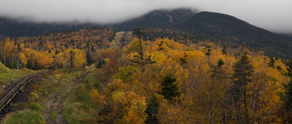 Boundary LineHikingPhoto: string_bass_dave, CC BY-SA 2.0 (via Flickr)~2 min drive
 Caps RidgeHikingPhoto: Ktr101, CC BY-SA 2.0 (via Flickr)~4 min drive
 CRAWFORD PATHHikingPhoto: Ktr101, CC BY-SA 2.0 (via Flickr)~4 min drive
 WamsuttaHikingPhoto: daveynin, CC BY 2.0 (via Flickr)~6 min drive
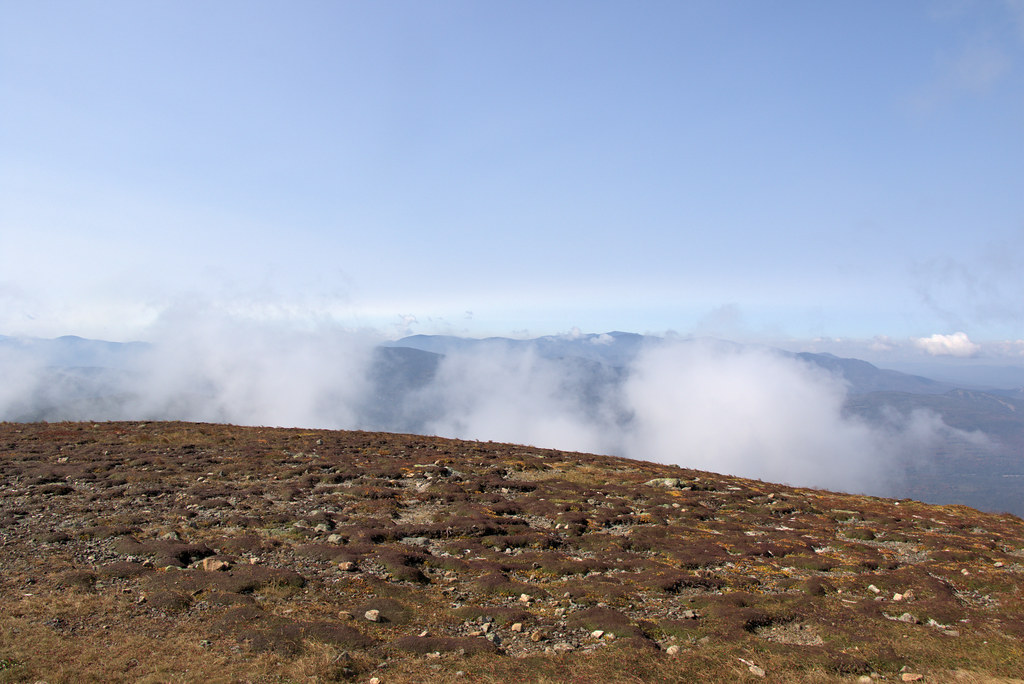 Mt Eisenhower LoopHikingPhoto: Ktr101, CC BY-SA 2.0 (via Flickr)~4 min drive
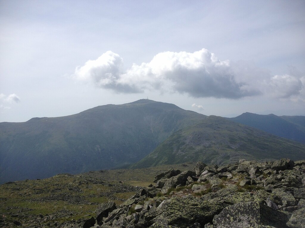 SphinxHikingPhoto: Ktr101, CC BY-SA 2.0 (via Flickr)~6 min driveHuntington RavineHikingPhoto: daveynin, CC BY 2.0 (via Flickr)~6 min drive
 WestsideHikingPhoto: roy.luck, CC BY 2.0 (via Flickr)~4 min driveHungtington Ravine TrailHikingPhoto: daveynin, CC BY 2.0 (via Flickr)~6 min drive
Daily highs and lows, wind and the chance of precipitation at Start for the next 7 days, from the Open-Meteo model.
Questions about Ammonoosuc Ravine: conditions, access, timing. Answers say when something isn't known.
Dry River Shelter # 3
Campground
 If it rainsKen Gallager, CC BY-SA 4.0 · Wikimedia Commons
Places © OpenStreetMap contributors, Places © Overture Maps Foundation · Photos: Ken Gallager, CC BY-SA 4.0 (commons)
More in North Conway