John J Audubon Trail
At a glance
The John J Audubon Trail is a 23.7-mile loop in the Potosi / Fredericktown Ranger District of Mark Twain National Forest, in southern Missouri. It is a hard hike, with a total elevation gain of 1,604 feet. The trail runs on natural ground and is not accessible. It starts at the Bidwell Creek Trailhead, which is open year-round. The trail is a rolling loop that reaches a high point of 1,028 feet and a low of 631 feet. The steepest stretch comes at about 5.9 miles in, with a grade of 23%. Plan on about 8.5 hours for the full circuit. For the most comfortable weather, aim for spring or fall. Typical averages from a nearby weather station in Farmington run to highs of 69°F in April and 70°F in October, while July and August average highs near 88°F. Nearby options include the Whispering Pine Trail, about 7 miles away, and the Pickle Creek Trail, about 8 miles away. The River aux Vases offers canoeing roughly 9 miles off, and the Trail Through Time hike is also about 9 miles away.
- loop
- 23.7 mi
- climb
- 1,604 ft
- high point
- 1,028 ft
- route
- Loop
- time
- About 8.5 hours
- best months
- Mar–Jun, Sep–Nov
Where it is: Potosi / Fredericktown Ranger District · Mark Twain National Forest
Near: Farmington
Best time to visit John J Audubon Trail
Best months: March–June and September–November. Best months have typical highs of 55–85 °F, lows of 30 °F or warmer (32 °F where the station doesn't record snow), at most one snowy day and no more than 12 wet days.
Jan
43°
23°
8 wet
Feb
48°
26°
8 wet
Mar
58°
34°
10 wet
Apr
69°
44°
12 wet
May
77°
54°
12 wet
Jun
85°
63°
10 wet
Jul
88°
67°
9 wet
Aug
88°
65°
9 wet
Sep
81°
56°
8 wet
Oct
70°
45°
8 wet
Nov
57°
34°
9 wet
Dec
46°
26°
9 wet
Typical high / low (°F) and days with rain or snow, 1991–2020. Measured at Farmington, MO, 13.7 mi away at 900 ft. This station doesn't record snowfall. Source: NOAA NCEI U.S. Climate Normals 1991–2020.
Been here? Tell people how it was.
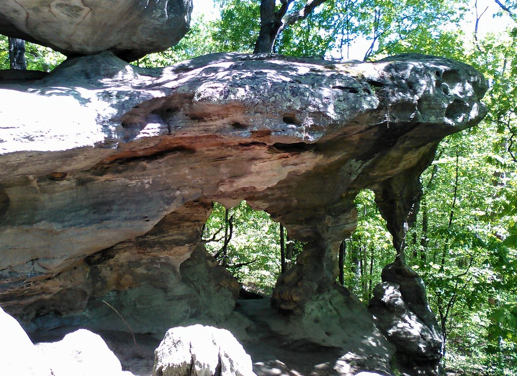 Trail Through TimeHikingPhoto: SymphonicPoet, CC BY 2.0 (via Flickr)~15 min drive
 Pilot Knob Guided Hike RouteHikingPhoto: Missouri State Archives, No restrictions (via Wikimedia Commons)~44 min drive
 Adt - Illinois (South) - J - Seg 3HikingPhoto: USDAgov, Public Domain Dedication (CC0) (via Flickr)~1h 3m drive
- Yellow TrailHiking~1h 2m drive
 Braille TrailHikingPhoto: Wikipedian Kbh3rd, CC BY-SA 3.0 (via Wikimedia Commons)~49 min drive
- Galena TrailHiking~31 min drive
- River to River Segment 7 - Alto Pass to Devil's BackboneHikingPhoto: USDAgov, Public Domain Dedication (CC0) (via Flickr)~1h 3m drive
- Mudlick Equestrian Hike TrailHiking~1h 3m drive
- Pickle Creek TrailHiking~14 min drive
- Rock Pile Mountain WildernessHiking~37 min drive
Conditions and forecast
Daily highs and lows, wind and the chance of precipitation at Start for the next 7 days, from the Open-Meteo model.
Ask about this place
Questions about John J Audubon Trail: conditions, access, timing. Answers say when something isn't known.
