Mckenna Creek
At a glance
Mckenna Creek is an easy out-and-back hike of about 2.2 miles in the Gila Wilderness, part of the Wilderness Ranger District of Gila National Forest in southwest New Mexico. The trail lies within designated wilderness and is managed by the Forest Service, and the route rises from about 7,571 feet to about 7,705 feet, a climb of roughly 107 feet one way. The trail is on natural surface, and horses are allowed. Bikes are not. The hike is short and low in elevation, making it an easy addition to a day in the wilderness, and it is open year-round. Spring and fall are the most comfortable times to go. Typical averages from a nearby weather station at Ft Bayard, about 34 miles away, show October highs around 74°F with lows near 47°F, and April is similar at about 73°F. That station sits well below the trail, so temperatures up high run cooler. Ring Canyon Trail #162 lies about half a mile away, and Cienega (Upper Mogollon Cr.) is about 2.1 miles off. Turkey Creek Trail #155 and Little Creek Trail #161 are both about 2.4 miles from the trail.
- round trip
- 2.2 mi
- climb
- 107 ft
- high point
- 7,705 ft
- route
- Out and back
- best months
- Jan–May, Sep–Nov
Where it is: Gila Wilderness · Wilderness Ranger District
Near: Little Walnut Village
Best time to visit Mckenna Creek
Best months: January–May and September–November. Best months have typical highs of 55–85 °F, lows of 30 °F or warmer (32 °F where the station doesn't record snow), at most one snowy day and no more than 12 wet days.
Jan
56°
32°
6 wet
Feb
59°
34°
6 wet
Mar
66°
37°
5 wet
Apr
73°
43°
3 wet
May
80°
50°
3 wet
Jun
90°
60°
5 wet
Jul
88°
64°
13 wet
Aug
87°
63°
13 wet
Sep
83°
58°
8 wet
Oct
74°
47°
5 wet
Nov
63°
37°
4 wet
Dec
55°
30°
6 wet
Typical high / low (°F) and days with rain or snow, 1991–2020. Measured at Ft Bayard, NM, 34.2 mi away at 6,099 ft. The station sits about 1,600 ft lower than this place, so expect it a little cooler here. This station doesn't record snowfall. Source: NOAA NCEI U.S. Climate Normals 1991–2020.
Been here? Tell people how it was.
- Ring Canyon Trail #162Hiking0.6 mi
- Cienega (Upper Mogollon Cr.)Hiking2.1 mi
- Turkey Creek Trail #155Hiking2.4 mi
- Little Creek Trail #161Hiking2.4 mi
- Horse SpringsHiking2.9 mi
 West Fork Gila RiverCanoeingPhoto: Chris M Morris, CC BY 2.0 (via Wikimedia Commons)4.5 mi
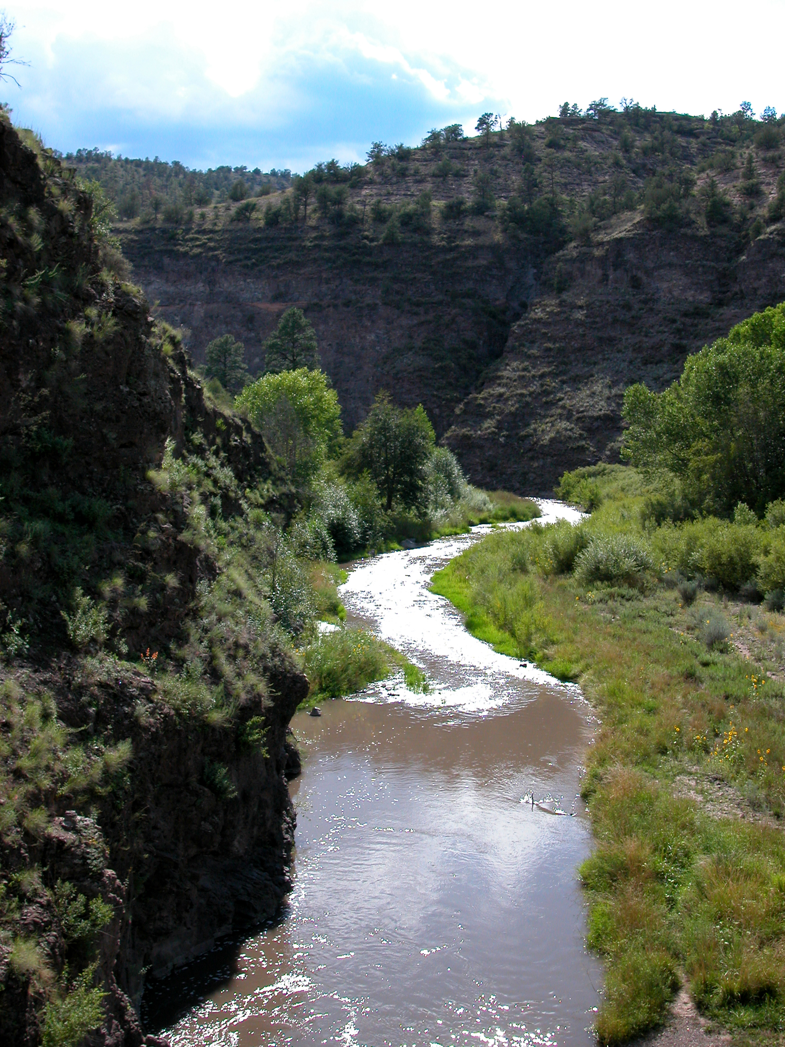 Middle Fork Gila RiverCanoeingPhoto: Joe Burgess, Public domain (via Wikimedia Commons)8.3 mi
- Mogollon CreekCanoeing9.8 mi
 Big Bear Canyon Trail #28HikingPhoto: Chris M Morris, CC BY 2.0 (via Wikimedia Commons)~14 min drive
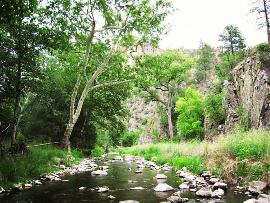 West Fork ShortcutHikingPhoto: cm195902, CC BY 2.0 (via Flickr)~17 min drive
 Little Bear Canyon Trail #729HikingPhoto: cm195902, CC BY 2.0 (via Flickr)~18 min drive
- Mogollon Creek Trail #153Hiking~12 min drive
- Little Creek Trail #161Hiking~4 min drive
- Grand Enchantment TrailHikingPhoto: cm195902, CC BY 2.0 (via Flickr)~17 min drive
- Ee CanyonHikingPhoto: Chris M Morris, CC BY 2.0 (via Wikimedia Commons)~15 min drive
- GOBBLER CANYONHiking~12 min drive
- Prior Creek Trail #156Hiking~9 min drive
- Horse SpringsHiking~5 min drive
Conditions and forecast
Caution at last checkAgency alerts are in effect for this areaUSFS · checked 20 h agoDaily highs and lows, wind and the chance of precipitation at Start for the next 7 days, from the Open-Meteo model.
Ask about this place
Questions about Mckenna Creek: conditions, access, timing. Answers say when something isn't known.
Local outfitters
- Silver City RV Park32 mi away
- Burro Mountain Homestead RV Park42 mi away
Not on Roamze yet. Their page has how to reach them.
