Sanguine S Hwt
At a glance
Sanguine S Hwt is a 5.6-mile out-and-back hike in the Great Divide Ranger District of the Chequamegon-Nicolet National Forest in northern Wisconsin. It is managed by the Forest Service and sits on natural-surface trails. The climb is gentle, with a peak of about 1,484 feet and a low of about 1,432 feet, and the steepest stretch comes at about mile 1, with a 5% grade. The trail is open from May 1 through November 30. Summer is the most comfortable time to go. Typical averages from a nearby weather station run from highs around 73°F in June to about 76°F in July, with July lows near 56°F. Bikes and horses are allowed, and the trail is not accessible. The Sanguine N Hwt lies about 1.7 miles away, and the Bpw Interpretive and Little Moose River Hwt routes are within about 5 miles. For an overnight base, East Twin campground is about 7.5 miles off.
- round trip
- 5.6 mi
- climb
- 280 ft
- high point
- 1,484 ft
- route
- Out and back
- time
- About 2 hours
- best months
- Jul–Aug
Where it is: Great Divide Ranger District · Chequamegon-Nicolet National Forest
Near: Park Falls
Best time to visit Sanguine S Hwt
Best months: July–August. Best months have typical highs of 55–85 °F, lows of 30 °F or warmer (32 °F where the station doesn't record snow), at most one snowy day and no more than 12 wet days.
Jan
20°
1°
11 wet
Feb
25°
1°
9 wet
Mar
36°
13°
10 wet
Apr
49°
27°
12 wet
May
63°
40°
13 wet
Jun
73°
51°
14 wet
Jul
76°
56°
12 wet
Aug
75°
54°
12 wet
Sep
67°
46°
13 wet
Oct
52°
34°
14 wet
Nov
37°
22°
12 wet
Dec
25°
8°
12 wet
Typical high / low (°F) and days with rain or snow, 1991–2020. Measured at Clam Lake 4w, WI, 8 mi away at 1,498 ft. This station doesn't record snowfall. Source: NOAA NCEI U.S. Climate Normals 1991–2020.
Been here? Tell people how it was.
- Sanguine N HwtHiking1.7 mi
- Bpw InterpretiveHiking3.2 mi
- Little Moos River HwtHiking4.8 mi
- Little Moose River HwtHiking4.9 mi
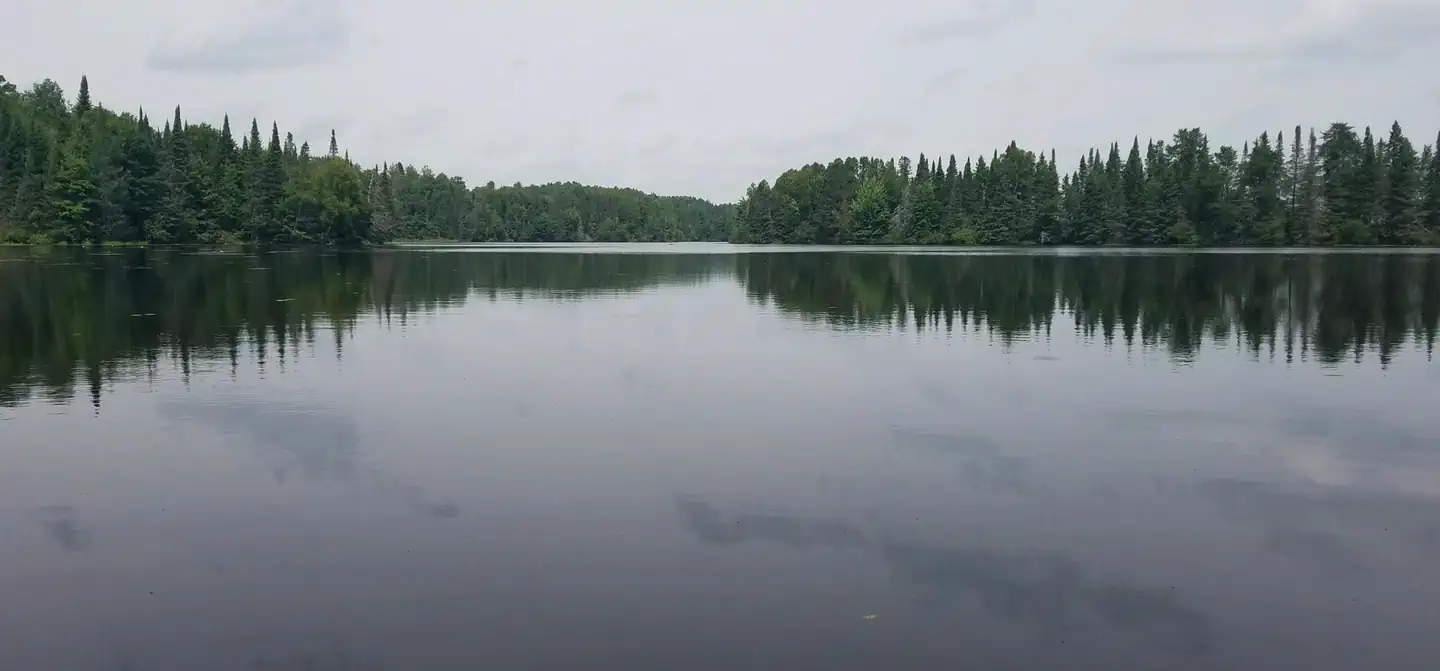 Day LakeSurf fishing6.7 mi
 East TwinCampingPhoto: Recreation.gov (RIDB) / public domain7.5 mi
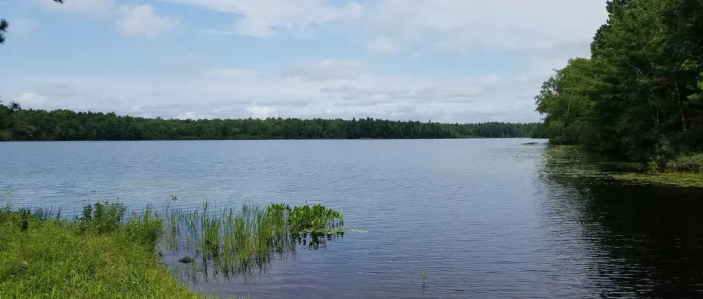 Black LakeCampingPhoto: Recreation.gov (RIDB) / public domain7.6 mi
- Stockfarm BridgeCamping8.1 mi
- Sanguine N HwtHiking~3 min drive
- Little Moose River HwtHiking~8 min drive
- North Day Lake HwtHiking~13 min drive
- Bpw InterpretiveHiking~5 min drive
- Dead Horse RunHiking~20 min drive
- Clam Lake ConnectorHiking~14 min drive
- Little Moos River HwtHiking~8 min drive
- Rock Lake BikeHiking~26 min drive
- Ghost Creek HwtHiking~14 min drive
- Woodtick Lake HwtHiking~11 min drive
Conditions and forecast
Caution todayAgency alerts are in effect for this areaUSFS · checked 15 min agoDaily highs and lows, wind and the chance of precipitation at Start for the next 7 days, from the Open-Meteo model.
Ask about this place
Questions about Sanguine S Hwt: conditions, access, timing. Answers say when something isn't known.
