
Palo Verde
Arizona
Free — you'll pick up right here.
4.3 mi
Distance
265 ft
Gain
1h 34m
Time
We don't cover this trail yet
No agency boundary, access route or field report is mapped to it — so there is no verdict, and we won't guess. We'll tell you the moment this trail has something to say.
Nobody's filed a report here yet — be the first.
Why you'll love it
Here's your day, mapped
Palo Verde
Suggested plan · check conditions before you go
Meals
Gear for the day
Elevation & route
- Distance
- 4.3 mi
- Elevation gain
- 265 ft
- Highest point
- 1,942 ft
- Lowest point
- 1,794 ft
Photos
Directions & GPX
Permits & access
- Managing agency
- Forest Service
- Bikes
- yes
About this trail
Palo Verde is a 4.27-mile out-and-back trail in Arizona managed by the Forest Service. The trail gains 265 feet of elevation.
Add to a trip & share
Keep exploring — more trails worth the drive
Photo: Ken Lund from Reno, Nevada, USA, CC BY-SA 2.0 (via Wikimedia Commons)Jojoba
~1 min drive
Jojoba is a 2.40-mile out-and-back trail in Arizona with 73 ft of elevation gain.
 Photo: Tanque Verde, CC BY 2.0 (via Flickr)
Fig Spring
~12 min drive
7.13-mile out-and-back trail to Fig Spring in Arizona with 336 ft of elevation gain.
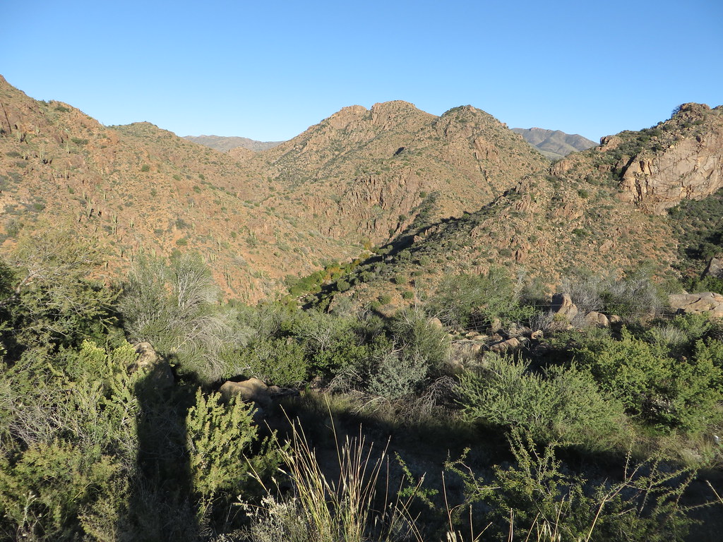 Photo: Ken Lund, CC BY-SA 2.0 (via Flickr)
Diamond
~15 min drive
Diamond is a 4.22-mile out-and-back trail in Arizona with 749 ft of elevation gain.
Telegraph Line Trail
~13 min drive
19.26-mile out-and-back trail in Arizona with 3,740 ft elevation gain/loss
 Photo: isydia Vibes, Public Domain Mark (via Flickr)
Eagle Trail (Youth Groups Only)
~16 min drive
0.36-mile loop in Arizona with 65 ft elevation gain and 1,743 ft max elevation.
 Photo: cogdogblog, CC BY 2.0 (via Flickr)
Ballantine
~18 min drive
19.94-mile out-and-back trail in Arizona with 2,762 ft elevation gain.
Verde Trail
~16 min drive
6.28-mile out-and-back hike in Arizona with 345 ft elevation gain
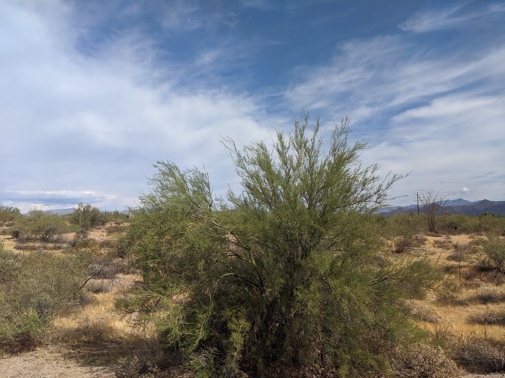 Photo: isydia Vibes, Public Domain Mark (via Flickr)
Scout Trail (Youth Groups Only)
~16 min drive
0.77-mile loop trail in Arizona with 50 ft elevation gain.
Davenport
~16 min drive
21.80-mile out-and-back trail in Arizona with 2,857 ft elevation gain.
Pine Creek Loop
~17 min drive
2.54-mile loop trail in Arizona with 494 ft of elevation gain.
