
Dripping Springs Campground
Campground
3.2 mi from the trail
Palomar Magee is a 5.6-mile out-and-back hike in the Agua Tibia Wilderness, part of the Palomar Ranger District of Cleveland National Forest in California. The trail rises from a low point of 3,938 feet to a high of 4,717 feet, a climb of 767 feet one way, and is rated moderate. The Forest Service manages the land. The route is natural-surfaced and allows horses, but not bikes. It works well for a day in the wilderness, and the trail is open year-round. Spring and fall are the most comfortable times to go. Typical averages from a nearby weather station at Palomar Mtn Obsy show May and October highs around 69°F with lows near 48°F and 51°F, while winter brings highs around 51°F and a few snow days a month. Nearby, the Palomar Divide Truck Trail is about 1.2 miles away, and the Wild Horse Peak Trail is about 2.4 miles off. Dripping Springs Campground, about 3.2 miles away, offers a place to stay. Agua Tibia Creek, roughly 5.3 miles away, is an option for paddling.
Where it is: Agua Tibia Wilderness · Palomar Ranger District
Near: Temecula
Best months: March–November. Best months have typical highs of 55–85 °F, lows of 30 °F or warmer (32 °F where the station doesn't record snow), at most one snowy day and no more than 12 wet days.
Jan
51°
37°
7 wet · 1 snow
Feb
51°
36°
7 wet · 2 snow
Mar
56°
39°
6 wet · 1 snow
Apr
61°
42°
4 wet · 1 snow
May
69°
48°
2 wet
Jun
79°
57°
1 wet
Jul
84°
64°
1 wet
Aug
84°
65°
1 wet
Sep
79°
60°
1 wet
Oct
69°
51°
2 wet
Nov
58°
43°
4 wet
Dec
51°
37°
6 wet · 1 snow
Typical high / low (°F) and days with rain or snow, 1991–2020. Measured at Palomar Mtn Obsy, CA, 9.1 mi away at 5,550 ft. The station sits about 800 ft higher than this place, so expect it a little warmer here. Source: NOAA NCEI U.S. Climate Normals 1991–2020.
Been here? Tell people how it was.
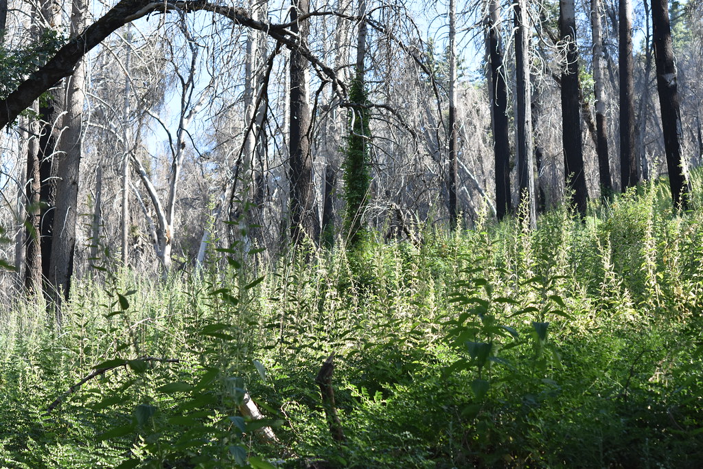 Upper Doane Valley TrailHikingPhoto: theforestprimeval, CC BY-SA 2.0 (via Flickr)~13 min drive
 Chimney Flats TrailHikingPhoto: theforestprimeval, CC BY-SA 2.0 (via Flickr)~14 min driveUse Trail (To Fry Creek)HikingPhoto: theforestprimeval, CC BY-SA 2.0 (via Flickr)~13 min driveFry CreekHikingPhoto: theforestprimeval, CC BY-SA 2.0 (via Flickr)~14 min drive
Daily highs and lows, wind and the chance of precipitation at the summit and route start for the next 7 days, from the Open-Meteo model.
Questions about Palomar Magee: conditions, access, timing. Answers say when something isn't known.
Dripping Springs Campground
Campground
 If it rainsAlan Islas, CC BY-SA 4.0 · Wikimedia Commons
Living-history museum in Vista, California
Places © OpenStreetMap contributors, Places © Overture Maps Foundation · Photos: Alan Islas, CC BY-SA 4.0 (commons)
More in FallbrookNot on Roamze yet. Their page has how to reach them.
About 5.6 mi round trip.
About 767 ft of climbing round trip.
It is rated moderate.
Year-round.
