
Devil's Kitchen Campground
Campground
4.4 mi from the trail
Den Trail is a 2.2-mile loop in the Mississippi Bluffs Ranger District of Shawnee National Forest in southern Illinois, managed by the Forest Service. The trail rises from about 621 feet to a high point of 702 feet, with a total elevation gain of 175 feet, and the steepest stretch comes at about 0.38 miles in, where the grade reaches 13 percent. The route is rated easy, and the trail surface is natural. Horses are allowed, but bikes are not. The trail is open year-round, and the trip takes about an hour. Spring and fall are the most comfortable times to go. Typical averages from a nearby weather station in Anna run to highs around 71°F in April and 73°F in October, while July highs average about 90°F. Panther Loop is 0.7 miles away, and Panther Den and the River To River Trail are each about 1.1 miles off. Climbers can find Draper's Bluff about 5.3 miles away.
Where it is: Mississippi Bluffs Ranger District · Shawnee National Forest
Near: Carbondale
Best months: March–May and September–November. Best months have typical highs of 55–85 °F, lows of 30 °F or warmer (32 °F where the station doesn't record snow), at most one snowy day and no more than 12 wet days.
Jan
45°
25°
9 wet
Feb
50°
29°
8 wet
Mar
61°
37°
10 wet
Apr
71°
46°
11 wet
May
79°
56°
12 wet
Jun
87°
65°
9 wet
Jul
90°
69°
8 wet
Aug
89°
67°
7 wet
Sep
83°
59°
7 wet
Oct
73°
48°
9 wet
Nov
59°
37°
10 wet
Dec
48°
30°
10 wet
Typical high / low (°F) and days with rain or snow, 1991–2020. Measured at Anna 2 Nne, IL, 10.8 mi away at 640 ft. This station doesn't record snowfall. Source: NOAA NCEI U.S. Climate Normals 1991–2020.
Been here? Tell people how it was.
 Red Cedar TrailHikingPhoto: davidwilson1949, CC BY 2.0 (via Flickr)~8 min drive
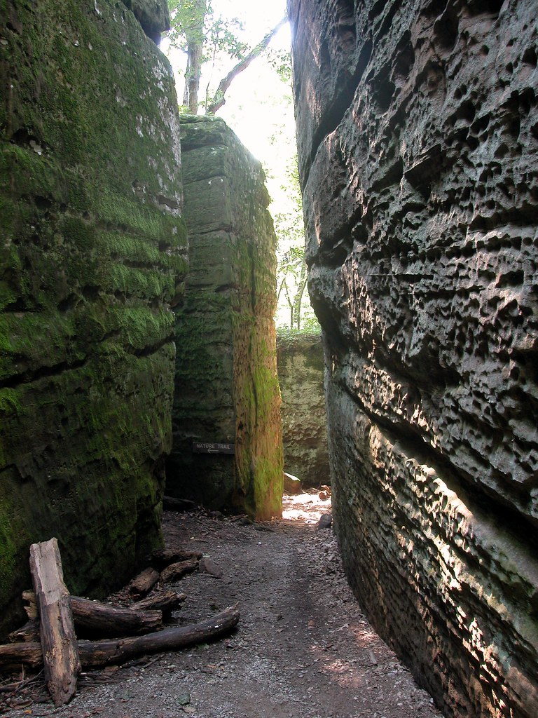 Red Cedar TrailHikingPhoto: davidwilson1949, CC BY 2.0 (via Flickr)~11 min drive
 River To River TrailHikingPhoto: Curtis Abert, CC BY 2.0 (via Flickr)~11 min drive
 DutchmanHikingPhoto: usfs_Eastern_Region, Public Domain Mark (via Flickr)~19 min drive
 Black Jack Oak TrailHikingPhoto: Curtis Abert, CC BY 2.0 (via Flickr)~11 min driveRebman's TrailHikingPhoto: Curtis Abert, CC BY 2.0 (via Flickr)~11 min drive
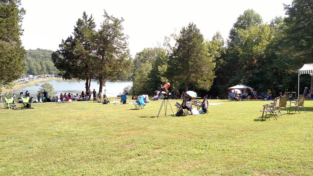 Big Rocky Hollow TrailHikingPhoto: Curtis Abert, CC BY 2.0 (via Flickr)~12 min drive
Daily highs and lows, wind and the chance of precipitation at Start for the next 7 days, from the Open-Meteo model.
Questions about Den Trail: conditions, access, timing. Answers say when something isn't known.
Devil's Kitchen Campground
Campground
Water Fall
Attraction
Places © OpenStreetMap contributors, Places © Overture Maps Foundation
More in Goreville