Black Canyon
At a glance
Black Canyon is a hard hike in Arizona's Santa Teresa Wilderness, part of the Safford Ranger District of Coronado National Forest. The route is an out-and-back that starts at about 6,820 feet and climbs to a high point of 6,865 feet, with a total elevation gain of 5,610 feet over the course of the trip. The steepest stretch comes at about 2.1 miles in, where the grade reaches 33 percent. The trail is natural-surface and not accessible. Bikes are not allowed. The Forest Service manages the land, and the hike is open year-round. Plan on about 5.5 hours for the round trip. Fourmile Spring lies about 2 miles away, and Cottonwood Mountain Trail #66 and Gardner Canyon Trail #67 are each within about 3.5 miles. Reef Basin is roughly 7.5 miles off.
- round trip
- 7.5 mi
- climb
- 5,610 ft
- high point
- 6,865 ft
- route
- Out and back
- time
- About 2.5 hours
Where it is: Santa Teresa Wilderness · Safford Ranger District
Near: Safford
Been here? Tell people how it was.
 Clark Peak Trail #301HikingPhoto: em_burk, CC BY-SA 2.0 (via Flickr)~24 min drive
- Nuttall Trail #303HikingPhoto: em_burk, CC BY-SA 2.0 (via Flickr)~26 min drive
 Grand Enchantment Trail Alternative 8AHikingPhoto: em_burk, CC BY-SA 2.0 (via Flickr)~27 min drive
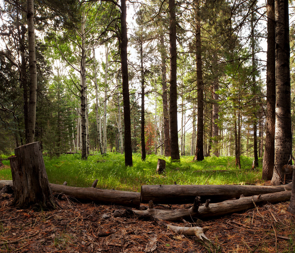 Jesus Goudy Ridge Trail #298HikingPhoto: squeaks2569, CC BY-SA 2.0 (via Flickr)~31 min drive
 Blair CanyonHikingPhoto: squeaks2569, CC BY-SA 2.0 (via Flickr)~31 min drive
- Fourmile SpringHiking~4 min drive
- Cottonwood Mountain Trail #66Hiking~5 min drive
- Shingle Mill Trail #35Hiking~30 min drive
 Blue Jay Ridge Trail #314HikingPhoto: em_burk, CC BY-SA 2.0 (via Flickr)~23 min drive
- EUREKA CANYONHiking~13 min drive
Conditions and forecast
Caution todayAgency alerts are in effect for this areaUSFS · checked 1 min agoDaily highs and lows, wind and the chance of precipitation at Start for the next 7 days, from the Open-Meteo model.

Ask about this place
Questions about Black Canyon: conditions, access, timing. Answers say when something isn't known.
