Fourmile Spring
- 2.7 mi
- round trip
- 327 ft
- climb
- 4,743 ft
- high point
- Out and back
- route
- Feb–May, Oct–Nov
- best months
Clear at last check
Weather is good · OpenWeather · checked 16 h ago
Fourmile Spring is an easy out-and-back hike in Arizona's North Santa Teresa Wilderness, on land managed by the Bureau of Land Management's Safford Field Office. The trail is about 2.7 miles long, with a one-way elevation gain of 327 feet, and it rises from a low point of about 4,283 feet to a high of about 4,743 feet. Spring and fall are the most comfortable times to go. Typical averages from a nearby weather station at Oracle put April highs around 74°F and October highs around 80°F, while June and July average about 94°F. The trail is natural-surfaced and not accessible. Bikes are not allowed. It is open year-round. Nearby hikes include Black Canyon, about 2 miles away, and Cottonwood Mountain Trail #66, about 2.6 miles away. Black Rock Trail #292 and Gardner Canyon Trail #67 are both within about 4 miles.
Best time to go · Feb–May, Oct–Nov
Best time to visit Fourmile Spring
Best months: February–May and October–November. Best months have typical highs of 55–85 °F, lows of 30 °F or warmer (32 °F where the station doesn't record snow), at most one snowy day and no more than 12 wet days.
Jan
59° / 31°
Feb
62° / 34°
Mar
67° / 38°
Apr
74° / 45°
May
83° / 51°
Jun
94° / 62°
Jul
94° / 69°
Aug
91° / 66°
Sep
88° / 59°
Oct
80° / 49°
Nov
68° / 39°
Dec
59° / 31°
Typical high / low (°F) and days with rain or snow, 1991–2020. Measured at Oracle Sp, AZ, 39.7 mi away at 4,595 ft. This station doesn't record snowfall. Source: NOAA NCEI U.S. Climate Normals 1991–2020.
Keep exploring — more trails worth the drive
 Photo: em_burk, CC BY-SA 2.0 (via Flickr)
Blue Jay Ridge Trail #314
~22 min drive
7.92-mile out-and-back hike in Arizona with 358 ft elevation gain.
 Photo: em_burk, CC BY-SA 2.0 (via Flickr)
Nuttall Trail #303
~25 min drive
20.93-mile out-and-back trail in Arizona, 20.93 miles.
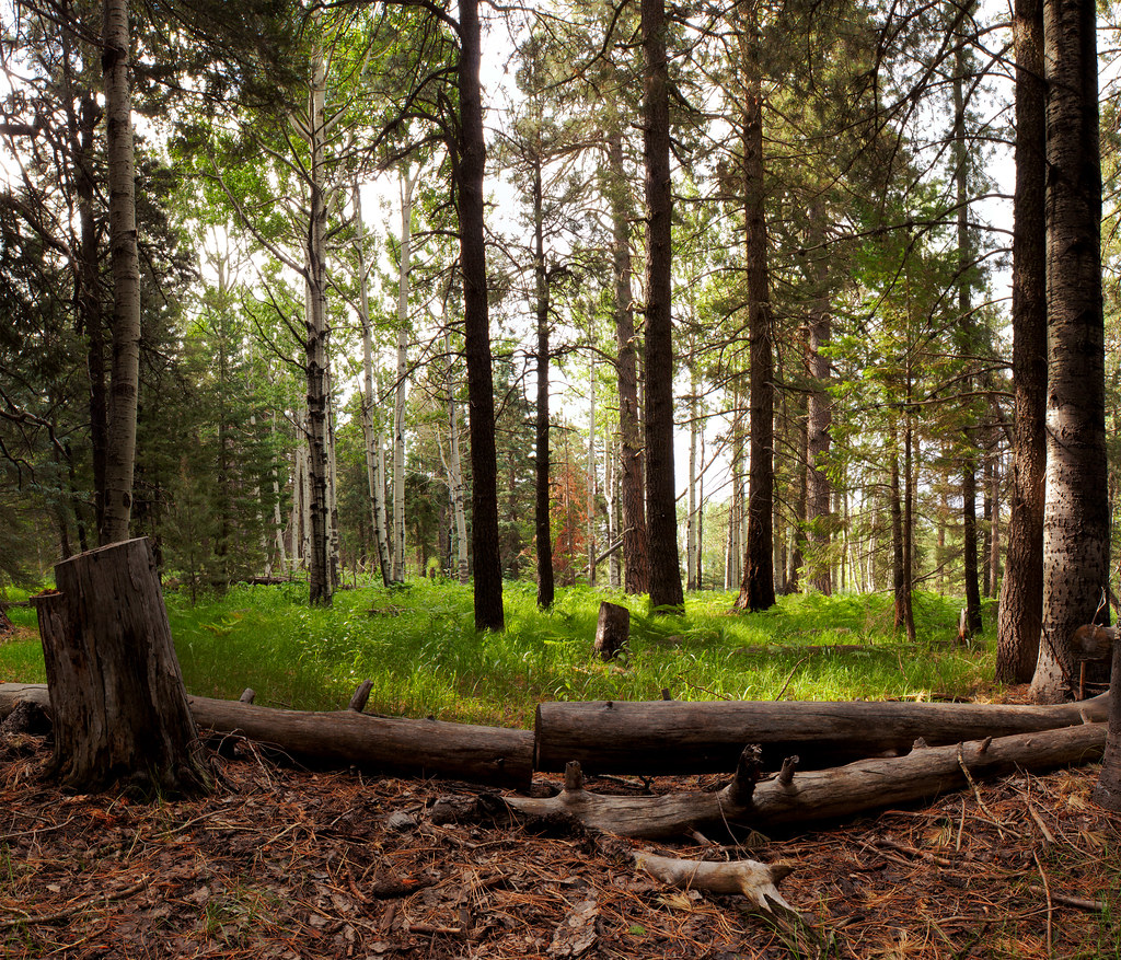 Photo: squeaks2569, CC BY-SA 2.0 (via Flickr)
Jesus Goudy Ridge Trail #298
~30 min drive
9.93-mile out-and-back trail on a ridge in Arizona with 743 ft gain.
 Photo: em_burk, CC BY-SA 2.0 (via Flickr)
Grand Enchantment Trail Alternative 8A
~30 min drive
25.29-mile out-and-back trail in Arizona with 1,465 ft elevation gain.
 Photo: squeaks2569, CC BY-SA 2.0 (via Flickr)
Blair Canyon
~30 min drive
5-mile out-and-back trail in Arizona with 302 ft gain.
 Photo: em_burk, CC BY-SA 2.0 (via Flickr)
Ash Creek Detour
~32 min drive
2.17-mile out-and-back trail in Arizona with 775 ft of elevation gain.
HIKE
Taylor Trail #306
~21 min drive
10.78-mile out-and-back trail in Arizona with 2,282 ft gain.
 Photo: em_burk, CC BY-SA 2.0 (via Flickr)
Round the Mountain Trail #302
~33 min drive
31.29-mile out-and-back trail in Arizona with 478 ft elevation gain.
Photo: em_burk, CC BY-SA 2.0 (via Flickr)Clark Peak Trail #301
~23 min drive
10.72-mile out-and-back hike in Arizona with 1,624 ft elevation gain.
HIKE
EUREKA CANYON
~14 min drive
3.44-mile out-and-back trail in Arizona with 692 ft elevation gain

