Cottonwood Mountain Trail #66
- 8.8 mi
- distance
- 6,525 ft
- climb
- 7,261 ft
- high point
- Lollipop
- route
- May, Sep–Oct
- best months
Cottonwood Mountain Trail #66 is a hard, looped route of about 9 miles, with a total elevation gain of 6,525 feet, climbing from a low of about 3,668 feet to a high of 7,261 feet. It lies within the North Santa Teresa Wilderness, on land managed by the Bureau of Land Management's Safford Field Office in Arizona. Spring and fall are the most comfortable times to go. Typical averages from a nearby weather station show October highs around 72°F and lows near 36°F, while July highs reach about 89°F with the most wet days of the year. That station sits roughly 1,200 feet lower than the trail's high point, so temperatures up top run cooler. The estimated time for the hike is about six hours. Black Rock Trail #292 and Gardner Canyon Trail #67 both start within about a mile. Black Canyon and Fourmile Spring are a little farther, at about 3 and 2.6 miles.
- Black Rock Trail #292Hiking1.1 mi
- Gardner Canyon Trail #67Hiking1.2 mi
- Fisher Canyon Trail #991Hiking2.5 mi
- Fourmile SpringHiking2.6 mi
- Black CanyonHiking3 mi
- Fischer BasinHiking3.1 mi
- Reef BasinHiking7.5 mi
- HoldoutHiking7.5 mi
Source: Roamze catalog (indexable pages within 10 miles, PostGIS distance)
 Blue Jay Ridge Trail #314Hiking · ~27 min drivePhoto: em_burk, CC BY-SA 2.0 (via Flickr)
 Grand Enchantment Trail Alternative 8AHiking · ~27 min drivePhoto: em_burk, CC BY-SA 2.0 (via Flickr)
 Nuttall Trail #303Hiking · ~30 min drivePhoto: em_burk, CC BY-SA 2.0 (via Flickr)
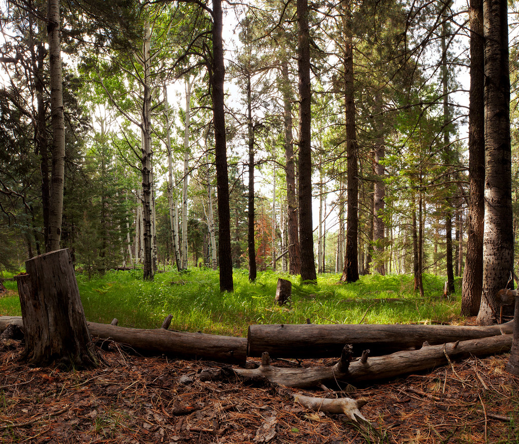 Jesus Goudy Ridge Trail #298Hiking · ~34 min drivePhoto: squeaks2569, CC BY-SA 2.0 (via Flickr)
- Clark Peak Trail #301Hiking · ~28 min drivePhoto: em_burk, CC BY-SA 2.0 (via Flickr)
- Black Rock Trail #292Hiking · ~2 min drive
 Ash Creek DetourHiking · ~37 min drivePhoto: em_burk, CC BY-SA 2.0 (via Flickr)
- Hell's Hole Trail #319Hiking · ~32 min drive
- Carter NuttallHiking · ~31 min drivePhoto: em_burk, CC BY-SA 2.0 (via Flickr)
- Gardner Canyon Trail #67Hiking · ~2 min drive
Best time to visit Cottonwood Mountain Trail #66
Best months: May and September–October. Best months have typical highs of 55–85 °F, lows of 30 °F or warmer (32 °F where the station doesn't record snow), at most one snowy day and no more than 12 wet days.
Jan
52° / 20°
6 wet
Feb
55° / 22°
6 wet
Mar
61° / 27°
5 wet
Apr
68° / 31°
3 wet
May
77° / 39°
3 wet
Jun
88° / 49°
4 wet
Jul
89° / 55°
11 wet
Aug
86° / 55°
12 wet
Sep
81° / 49°
7 wet
Oct
72° / 36°
4 wet
Nov
61° / 27°
4 wet
Dec
52° / 20°
6 wet
Typical high / low (°F) and days with rain or snow, 1991–2020. Measured at Black Rvr Pumps, AZ, 45.1 mi away at 6,065 ft. The station sits about 1,200 ft lower than this place, so expect it a little cooler here. This station doesn't record snowfall. Source: NOAA NCEI U.S. Climate Normals 1991–2020.

Map and trail data © OpenStreetMap contributors
