
Lost Man Campground
Campground
< 0.1 mi from the trail
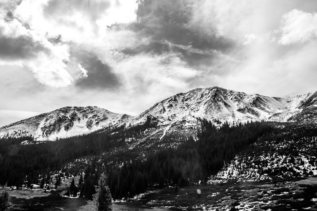 Photo: markbyzewski, CC BY 2.0 (via Flickr)
Lost Man Loop is a hard hike of about 18 miles in the Aspen Ranger District of White River National Forest in Colorado, managed by the Forest Service. The trail is an out-and-back with a one-way climb of about 2,000 feet, rising from roughly 10,500 feet to about 12,800 feet at the high point. The trail is on natural surface and allows horses. Bikes are not permitted. Twining Peak and Lost Man Campground both sit about 0.1 mile from the trail. Columbine Crag, a climbing area, is about 2 miles away, and Linkins Lake is about 2.2 miles away.
Where it is: Aspen Ranger District · White River National Forest
Near: Aspen
Blocked today
A road serving this area is closed; agency alerts are in effect for this area; weather is good · USFS, State DOT 511, OpenWeather · checked just now
Road closed
CO 82: road closure is listed as closed by CDOT 511 (2 listed).
CO 82: road closure
Closed · ~0.0 km from Lost Man Loop · CDOT 511
CO 82: Independence Pass
Closed · ~4.6 km from Lost Man Loop · CDOT 511
FSR 286, Radical Hill, is closed due to washouts and unsafe conditions
Agency alert covering White River National Forest · USFS · White River National Forest
Limited parking at Snowmass Creek Trailhead
Agency alert covering White River National Forest · USFS · White River National Forest
Ruedi Marina Day Use area Dump Station is CLOSED
Agency alert covering White River National Forest · USFS · White River National Forest
As of · Source: CDOT 511. Agencies don't list every closure — check before you go.
Local guides with trips near here. Ask them what they're running while this is closed.
Been here? Tell people how it was.
 Twining PeakHikingPhoto: markbyzewski, CC BY 2.0 (via Flickr)0.1 mi
 Linkins LakeHikingPhoto: markbyzewski, CC BY 2.0 (via Flickr)2.2 miLinkins LakeHikingPhoto: markbyzewski, CC BY 2.0 (via Flickr)~4 min drive
 North Fork Lake CreekHikingPhoto: markbyzewski, CC BY 2.0 (via Flickr)~8 min drive
 Mount Massive Southwest SlopesHikingPhoto: Gaep13 at en.wikipedia), Public domain (via Wikimedia Commons)~15 min drive
 Deer MountainHikingPhoto: Toshihiro Matsui, CC BY-SA 3.0 (via Wikimedia Commons)~8 min drive
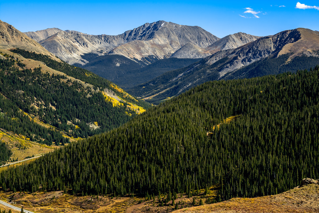 Independance Pass OverlookHikingPhoto: dconvertini, CC BY-SA 2.0 (via Flickr)~6 min driveMOUNTAIN BOYHikingPhoto: Toshihiro Matsui, CC BY-SA 3.0 (via Wikimedia Commons)~9 min drive
 La Plata PeakHikingPhoto: kalestews, CC BY 2.0 (via Flickr)~15 min drive
Daily highs and lows, wind and the chance of precipitation at Start for the next 7 days, from the Open-Meteo model.
Questions about Lost Man Loop: conditions, access, timing. Answers say when something isn't known.
Lost Man Campground
Campground
 If it rainsLongled, CC BY-SA 3.0 · Wikimedia Commons
Historic frontier synagogue building
Places © OpenStreetMap contributors, Places © Overture Maps Foundation · Photos: Longled, CC BY-SA 3.0 (commons)
More in Leadville