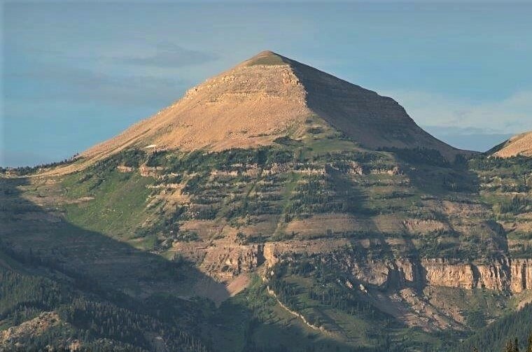
Granite Creek Campground
Campground
4.8 mi from the trail
Jackpine Creek is a hard hike in Wyoming's Bridger-Teton National Forest, within the Big Piney Ranger District. The route is an out-and-back of about 6.8 miles, with a one-way elevation gain of 878 feet, taking you from a low point of 7,833 feet to a high of 8,527 feet. The Forest Service manages the land, and the trail is natural-surfaced and open to horses. Summer is the most comfortable time to go. Typical averages from a nearby weather station at Darwin run to highs around 72°F in July, with lows near 35°F. That station sits a few hundred feet lower than the trail's high point, so temperatures on the ridge run a little cooler. The hike is open from May 1 to October 31. Shoal Falls Trail starts just 0.4 miles away, and Upper Shoal Creek is 0.9 miles off. Granite Creek Campground, about 4.8 miles away, offers a place to stay, and Jack Creek, roughly 7.5 miles away, is a paddling option.
Where it is: Big Piney Ranger District · Bridger-Teton National Forest
Near: Jackson
Early June to early September is usually best for hiking here.
Typical highs of 61–73°F and lows of 30°F or warmer in those weeks. Rain falls on about 35% of days at the wettest of them, so plan around showers.
Typical weather: NOAA 1991–2020 normals at Darwin Rch, WY, 11 mi away. Not a forecast.
Typical weather by monthBest months: June–August. Best months are the ones mostly made of the best weeks for hiking: typical temperatures in its comfortable range, few snowy days and not usually wet, judged with the same limits as our good-day forecasts.
Jan
26°
-6°
9 wet
Feb
29°
-4°
9 wet
Mar
36°
5°
10 wet
Apr
43°
16°
10 wet
May
54°
26°
11 wet
Jun
64°
32°
10 wet
Jul
72°
35°
8 wet
Aug
71°
34°
9 wet
Sep
62°
28°
8 wet
Oct
48°
19°
8 wet
Nov
35°
6°
9 wet
Dec
25°
-5°
10 wet
Typical high / low (°F) and days with rain or snow, 1991–2020. Measured at Darwin Rch, WY, 11.3 mi away at 8,190 ft. This station doesn't record snowfall. Source: NOAA NCEI U.S. Climate Normals 1991–2020.
Been here? Tell people how it was.
Daily highs and lows, wind and the chance of precipitation at Start for the next 7 days, from the Open-Meteo model.
Questions about Jackpine Creek: conditions, access, timing. Answers say when something isn't known.
Granite Creek Campground
Campground
Places © OpenStreetMap contributors, Places © Overture Maps Foundation
More in JacksonNot on Roamze yet. Their page has how to reach them.
