Rocky Mountain Outfitter
Hiking business nearby (~20 mi away) — hasn't claimed their Roamze page yet
Montana
Free — you'll pick up right here.
3.0 mi
Distance
52 ft
Gain
1h 2m
Time
Agency alerts are in effect for this area; weather is good
2 factors · 2 sources
Newest 2 h ago · oldest 2 h
caution: Agency alerts
10 active alerts in Flathead National Forest; most severe: Camp Creek Fire Updated Trail Closure
USFSPosted Sep 11 · checked 2 h ago
clear: Weather
Rain, high 67°F / low 52°F, 21% precip — 89/100 for hike
OpenWeather2 h ago
Been out here in the last few days? One report keeps this current for everyone.
Why you'll love it
Estes Lake
Suggested plan · check conditions before you go
Source for bikes, surface, accessibility: USDA Forest Service National Forest System Trails (EDW)
Estes Lake is a 3.01-mile out-and-back trail in Montana with 52 feet of elevation gain. The trail is managed by the Forest Service.
Source: Roamze elevation profile and trail geometry (DEM samples along the mapped route)
Active alerts for Flathead National Forest as of Oct 9, 2026:
Camp Creek Fire Updated Trail Closure
caution · posted Oct 5, 2026
Bear Creek Road 5398 closed for reconstruction through Nov. 1, 2026
caution · posted Oct 5, 2026
Jewel Basin Hiking Area Regulations
information · posted Aug 24, 2026
Three Forks of the Flathead River Regulations
information · posted Aug 24, 2026
information · posted Aug 24, 2026
Logan Creek Hoke Creek Closure
caution · posted Aug 24, 2026
Ryan Creek Occupancy and Use Order
caution · posted Aug 24, 2026
Trail 800 Tally-Ashely Closure
caution · posted Aug 24, 2026
Big Creek Canyon Creek Road 316 Closure for Emergency Repairs
information · posted Aug 24, 2026
FK&L Area Closed to Public Access Starting July 22, 2026
caution · posted Aug 24, 2026
Source: USFS forest alerts
Source: Roamze catalog (indexable pages within 10 miles, PostGIS distance)
 Photo: Always Shooting, CC BY 2.0 (via Flickr)
Lupine Loop
~8 min drive
1.06-mile out-and-back trail in Montana with 324 ft elevation gain
 Photo: Thank You (25 Millions ) views, CC BY 2.0 (via Flickr)
Hall Lake Trail
~17 min drive
9.66-mile out-and-back hike to Hall Lake in Montana with 1,870 ft gain.
PETERSON CREEK
~10 min drive
5.4-mile out-and-back trail in Montana with 2,871 ft elevation gain
Peterson Creek Trail
~10 min drive
11.12-mile out-and-back hike in Montana with 4,620 ft gain/loss
 Photo: LukeDetwiler, CC BY 2.0 (via Flickr)
Linderman Lookout Trail
~15 min drive
0.6-mile out-and-back hike to Linderman Lookout in Montana
 Photo: Forest Service - Northern Region, Public Domain Mark (via Flickr)
Mt. Aeneas
~20 min drive
4.27-mile loop trail in Montana with 737 ft elevation gain.
Peterson Sidehill
~11 min drive
6.33-mile out-and-back trail in Montana with 143 ft gain.
Wire Trail
~20 min drive
12.9-mile out-and-back trail in Montana with 6,636 ft elevation gain/loss
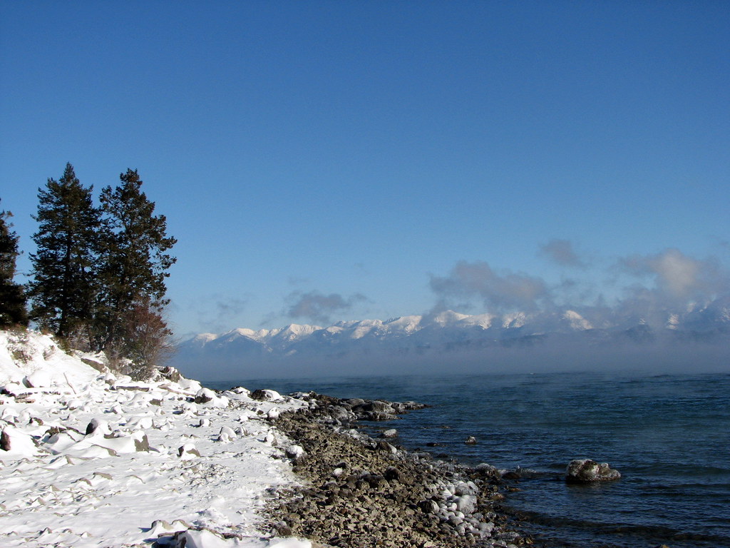 Photo: Stupid Dingo, CC BY 2.0 (via Flickr)
Pileated Path
~15 min drive
0.92-mile out-and-back trail in Montana with 244 ft elevation gain
Crane Creek
~5 min drive
4.27-mile out-and-back trail in Montana with 767 ft elevation gain.
Local operatorsoffering guided trips. You book directly with them — Roamze doesn’t take a cut.
Rocky Mountain Outfitter
Hiking business nearby (~20 mi away) — hasn't claimed their Roamze page yet
North American RV Park & Yurt Village
Hiking business nearby (~30 mi away) — hasn't claimed their Roamze page yet
