Camp Rich Tentsite
Campground
2.5 mi from the trail
The Sleepers is a summit in the Sandwich Range Wilderness, part of the Pemigewasset Ranger District of White Mountain National Forest in New Hampshire. The nearest town is Center Sandwich, about 10 miles away. The Kate Sleeper Trail passes about 0.1 mile from the summit, and the Mt. Tripyramid Trail is roughly half a mile off. Both make natural approaches for hikers building a route to the peak. Nearby, Waterville Campground and Osceola Vista Campground offer places to camp within about 4.5 miles. Winter visitors will find the Cascade Brook Trail for cross-country skiing less than 2 miles away.
Where it is: Sandwich Range Wilderness · Pemigewasset Ranger District
Near: Laconia
Been here? Tell people how it was.
| KATE SLEEPER TRAIL | Kate Sleeper Trail | |
|---|---|---|
| Climbing | About 824 ft | About 1,467 ft |
| Round trip | 1.5 mi | 5.0 mi |
| Difficulty | Easy | Moderate |
| Terrain | Hike | Hike |
| Season | — | Year-round |


 KATE SLEEPER TRAILHikingPhoto: drsmith7383, CC BY 2.0 (via Flickr)0.1 miMt. Tripyramid TrailHikingPhoto: drsmith7383, CC BY 2.0 (via Flickr)0.6 mi
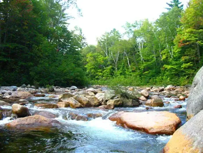 Waterville CampgroundCampingPhoto: Recreation.gov (RIDB) / public domain3.8 mi
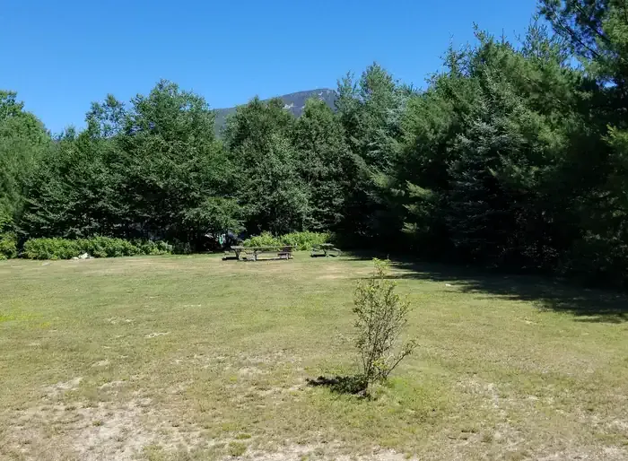 Osceola Vista CampgroundCampingPhoto: Recreation.gov (RIDB) / public domain4.4 miMount TripyramidSummitPhoto: petersent, Public domain (via Wikimedia Commons)~2 min driveMount PassaconawaySummitPhoto: Jeremy R. Clark, CC BY 3.0 (via Wikimedia Commons)~5 min drive
 Mount CarrigainSummitPhoto: Tim Sackton, CC BY-SA 2.0 (via Wikimedia Commons)~17 min drive
 North Moat MountainSummitPhoto: Wwoods, CC BY-SA 3.0 (via Wikimedia Commons)~22 min drive
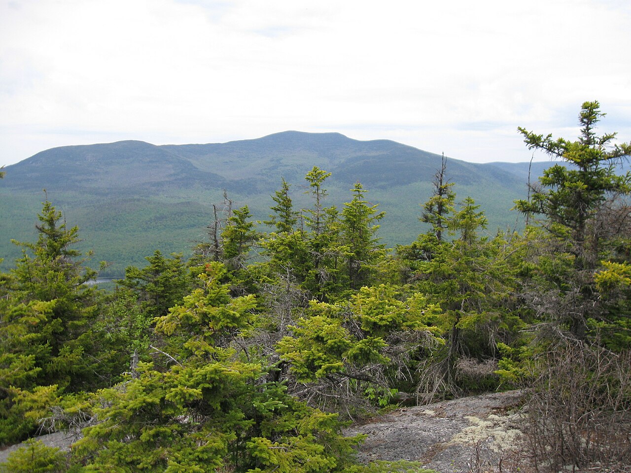 Sandwich MountainSummitPhoto: Ken Gallager (talk), CC BY-SA 3.0 (via Wikimedia Commons)~8 min drive
 Mount ChocoruaSummitPhoto: No machine-readable author provided. JohnJHenderson~commonswiki assumed (based on copyright claims)., Public domain (via Wikimedia Commons)~14 min drive
Daily highs and lows, wind and the chance of precipitation at the summit and route start for the next 7 days, from the Open-Meteo model.
3,894 ft (1,187 m).
2: KATE SLEEPER TRAIL and Kate Sleeper Trail.
KATE SLEEPER TRAIL, about 1.5 mi round trip.
Year-round.
Questions about The Sleepers: conditions, access, timing. Answers say when something isn't known.
Camp Rich Tentsite
Campground
 If it rainsKen Gallager, CC BY-SA 4.0 · Wikimedia Commons
Places © OpenStreetMap contributors · Photos: Ken Gallager, CC BY-SA 4.0 (commons)
More in North Conway