Thayer Campground
Campground
< 0.1 mi from the trail
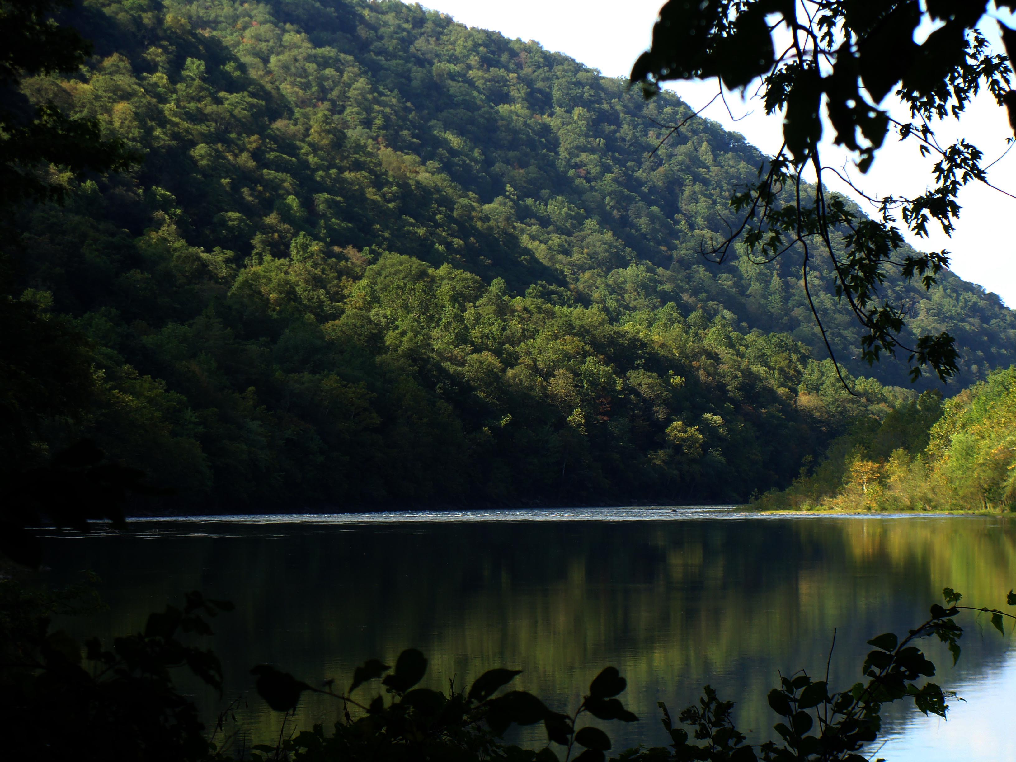
Thayer River Access is a boat launch in New River Gorge National Park and Preserve in southern West Virginia, about 4.3 miles from the town of Prince. The National Park Service manages the land here. The most comfortable stretch for a visit runs from late spring through early fall. Typical averages from the nearby Oak Hill, WV weather station show highs around 72°F in May and 75°F in September, with July and August reaching about 81°F. That station sits at 2,040 feet, so temperatures at the launch may run a little cooler. Nearby, Stone Cliff Trail and Terry Top Trail are both within about 4 miles. The New River's Grandview section offers river fishing about 4.7 miles away, and Grandview Shelter 2 and 3 are camping sites roughly 5.2 miles off.
Where it is: New River Gorge National Park and Preserve
Near: Oak Hill
Best months: June–October. Best months have typical highs of 55–85 °F, lows of 30 °F or warmer (32 °F where the station doesn't record snow), at most one snowy day and no more than 12 wet days.
Jan
41°
23°
15 wet
Feb
44°
25°
13 wet
Mar
52°
31°
14 wet
Apr
64°
41°
14 wet
May
72°
50°
14 wet
Jun
79°
58°
12 wet
Jul
81°
61°
12 wet
Aug
81°
60°
11 wet
Sep
75°
54°
9 wet
Oct
65°
42°
10 wet
Nov
54°
33°
11 wet
Dec
45°
27°
14 wet
Typical high / low (°F) and days with rain or snow, 1991–2020. Measured at Oak Hill, WV, 8 mi away at 2,040 ft. We don't have this place's elevation, so higher spots nearby can run cooler. This station doesn't record snowfall. Source: NOAA NCEI U.S. Climate Normals 1991–2020.
Been here? Tell people how it was.
 Glade CreekCanoeingPhoto: Brian M. Powell (user Bitmapped on en.wikipedia), CC BY-SA 3.0 (via Wikimedia Commons)~20 min drive
 Paint CreekCanoeingPhoto: Tim Kiser (User:Malepheasant), CC BY-SA 3.0 (via Wikimedia Commons)~24 min drive
 Greenbrier RiverCanoeingPhoto: Tim Kiser (w:User:Malepheasant), CC BY-SA 3.0 (via Wikimedia Commons)~52 min drive
Daily highs and lows, wind and the chance of precipitation at Thayer River Access for the next 7 days, from the Open-Meteo model.
Questions about Thayer River Access: conditions, access, timing. Answers say when something isn't known.
Thayer Campground
Campground
 If it rainsCoal town guy, CC BY-SA 3.0 · Wikimedia Commons
Places © OpenStreetMap contributors, Places © Overture Maps Foundation · Photos: Coal town guy, CC BY-SA 3.0 (commons)
More in Fayetteville