Table Top
At a glance
Table Top is a summit in Arizona at 4378 ft. It is reached by the Table Top Trail, a public trail passing within 150 m of the summit.
- summit
- 4,378 ft
- way up
- 1
Where it is: Table Top Wilderness · Phoenix District
Near: Maricopa
Loading this week's forecast
Been here? Tell people how it was.
Map © Mapbox © OpenStreetMap contributors - Goat Hill2,331 ft · Arizona2 routes40 mi away
 Poston Butte1,749 ft · Arizona1 route47 mi awayPhoto: Aznaturalist, CC BY-SA 3.0 (via Wikimedia Commons)
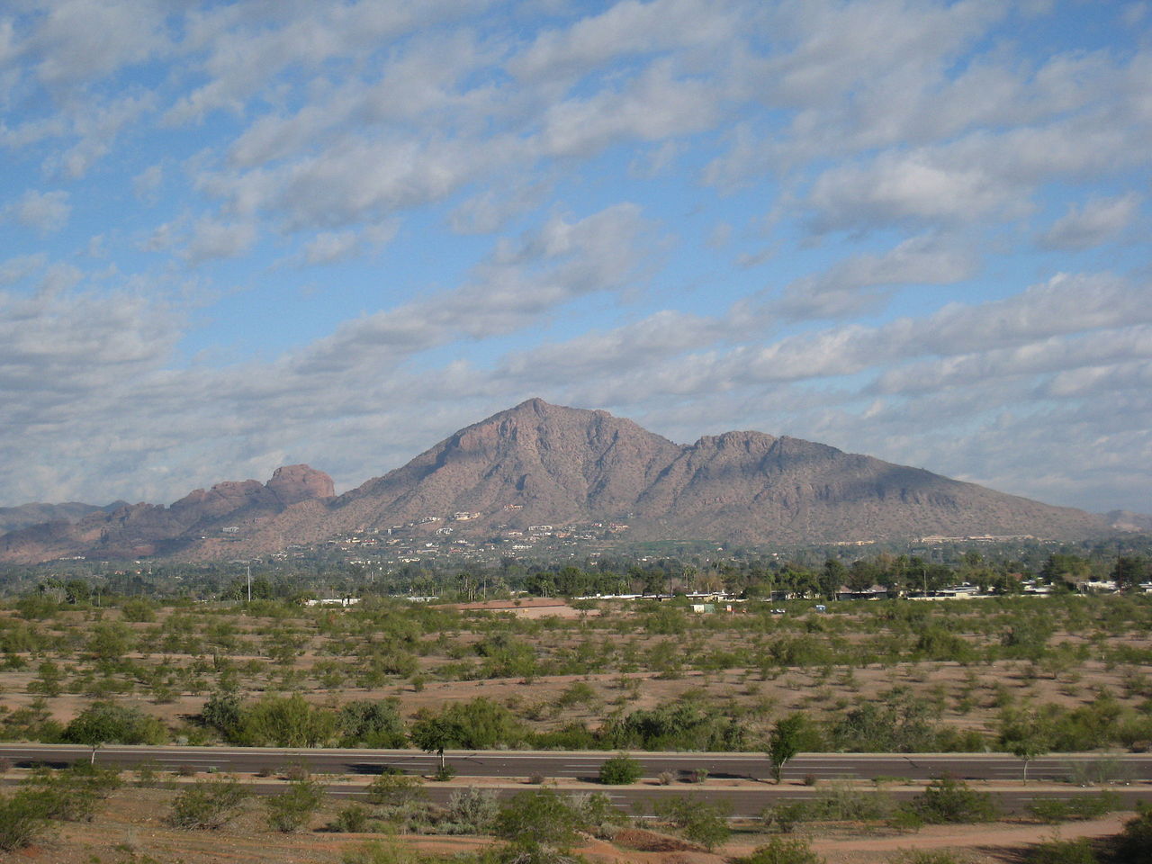 Camelback Mountain2,702 ft · Arizona2 routes53 mi awayPhoto: Dru Bloomfield from Scottsdale, Arizona, USA, CC BY 2.0 (via Wikimedia Commons)
 Piestewa Peak2,596 ft · Arizona1 route55 mi awayPhoto: Ted Eytan, CC BY-SA 2.0 (via Wikimedia Commons)
 North Mountain2,099 ft · Arizona1 route57 mi awayPhoto: Aznaturalist, CC BY-SA 3.0 (via Wikimedia Commons)
 Pass Mountain3,302 ft · Arizona1 route59 mi awayPhoto: Z Glyph, CC BY 3.0 (via Wikimedia Commons)
Conditions and forecast
Daily highs and lows, wind and the chance of precipitation at the summit and route start for the next 7 days, from the Open-Meteo model.
Questions about Table Top
How tall is Table Top?
4,378 ft (1,334 m).
How many routes go to the summit of Table Top?
One: Table Top Trail.


Ask about this place
Questions about Table Top: conditions, access, timing. Answers say when something isn't known.
