Sonora Bridge Campground
At a glance
Sonora Bridge Campground is a Forest Service campground in the Bridgeport Ranger District of the Humboldt-Toiyabe National Forest in California. It sits within the national forest's ranger district, and the land is managed by the Forest Service. The site is a simple base for exploring the surrounding area. Amenities include vault toilets, and a fee is charged for stays. The nearest town is Bridgeport, about 15 miles away. Summer is the most comfortable time to visit. Typical averages from the nearby Bridgeport weather station show July highs around 85°F with lows near 43°F, while winter brings highs in the mid-40s and a few snowy days each month from December through February. Several other destinations lie within a few miles. Kirman Lake and Burt Canyon are both about 2 miles away, and Chris Flat Campground is about 2.5 miles off. Walker River Canyon, a climbing area, is about 3 miles away.
- best months
- Mid-Jun–late Aug
Where it is: Bridgeport Ranger District · Humboldt-Toiyabe National Forest
Near: Bridgeport
Best weeks to go
Mid-June to late August is usually best for camping here.
Typical highs of 79–86°F and lows of 40°F or warmer in those weeks.
Typical weather: NOAA 1991–2020 normals at Bridgeport, CA, 15 mi away. Not a forecast.
Typical weather by monthBest time to visit Sonora Bridge Campground
Best months: July–August. Best months are the ones mostly made of the best weeks for camping: typical temperatures in its comfortable range, few snowy days and not usually wet, judged with the same limits as our good-day forecasts.
Jan
43°
10°
5 wet · 4 snow
Feb
45°
13°
5 wet · 3 snow
Mar
52°
20°
4 wet · 3 snow
Apr
59°
25°
3 wet · 1 snow
May
67°
32°
3 wet · 1 snow
Jun
77°
39°
2 wet
Jul
85°
43°
3 wet
Aug
84°
41°
2 wet
Sep
78°
34°
2 wet
Oct
66°
24°
2 wet
Nov
55°
17°
3 wet · 1 snow
Dec
45°
12°
5 wet · 3 snow
Typical high / low (°F) and days with rain or snow, 1991–2020. Measured at Bridgeport, CA, 15.2 mi away at 6,470 ft. Source: NOAA NCEI U.S. Climate Normals 1991–2020.
Been here? Tell people how it was.
- Kirman LakeHiking2.1 mi
- Burt CanyonHiking2.1 mi
- Chris Flat CampgroundCamping2.5 mi
- Wheeler Creek TrailMountain biking2.8 mi
 Walker River CanyonRock climbingPhoto: Ken Lund, CC BY-SA 2.0 (via Flickr)3 mi
- South ButtressRock climbingPhoto: Ken Lund, CC BY-SA 2.0 (via Flickr)3 mi
- West Walker RiverCanoeing3.9 mi
- Bootleg CampgroundCamping4 mi
- Honeymoon FlatCamping~24 min drive
- Rickey CabinHut camping~10 min drive
- Robinson Creek SouthCamping~25 min drive
- Robinson Creek NorthCamping~25 min drive
- Lower Twin Lakes at BridgeportCamping~26 min drive
 Crags Group CampgroundCampingPhoto: niiicedave — CC BY-SA 2.0 (via Flickr)~27 min drive
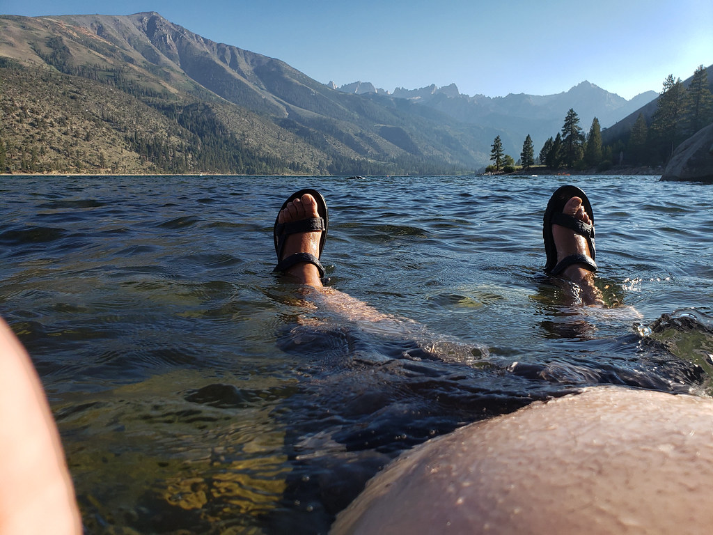 Lower Twin Lake CampgroundCampingPhoto: niiicedave — CC BY-SA 2.0 (via Flickr)~27 min drive
- Chris Flat CampgroundCamping~4 min drive
- Mill CanyonCamping~9 min drive
- Leavitt LakeCamping~17 min drive
Also worth it near here
- Kirman LakeLake fishing~3 min drive
- Walker River CanyonRock climbingPhoto: Ken Lund, CC BY-SA 2.0 (via Flickr)~5 min drive
 Poore Lake ConnectorHikingPhoto: A Silly Person from Sonora, CA, United States, CC BY-SA 2.0 (via Wikimedia Commons)~5 min drive
 Leavitt FallsWaterfallPhoto: Shannon1, CC BY-SA 4.0 (via Wikimedia Commons)~10 min drive
Conditions and forecast
Caution todayAgency alerts are in effect for this areaUSFS · checked 11 h agoDaily highs and lows, wind and the chance of precipitation at Sonora Bridge Campground for the next 7 days, from the Open-Meteo model.
Ask about this place
Questions about Sonora Bridge Campground: conditions, access, timing. Answers say when something isn't known.
- At 6,300 ft
- Bridgeport Ranger DistrictHumboldt-Toiyabe National Forest
