Slide Mountain
 Photo: Famartin, CC BY-SA 4.0 (via Wikimedia Commons)
At a glance
Slide Mountain is a summit in New York, rising to 4,184 feet. The nearest town is Phoenicia, about 7 miles away. Summer is the most comfortable time to go. Typical averages from a nearby weather station show July highs around 74°F with lows near 56°F, while winter highs stay in the 20s. That station sits roughly 1,500 feet below the summit, so temperatures on top run cooler. The Friday - Wittenberg - Cornell - Slide Trail Herd Path starts about 1.5 miles away, and the Primitive Campsite is about 1.8 miles off. The Giant Ledge - Panther - Fox Hollow Trail and Fisherman's Path - Lone Herd Path are both within about 2 miles.
- summit
- 4,184 ft
- best months
- Sep
Near: Kingston
Best time to visit Slide Mountain
Best months: September. Best months have typical highs of 55–85 °F, lows of 30 °F or warmer (32 °F where the station doesn't record snow), at most one snowy day and no more than 12 wet days.
Jan
28°
12°
16 wet
Feb
30°
13°
14 wet
Mar
38°
20°
15 wet
Apr
51°
31°
13 wet
May
62°
43°
15 wet
Jun
69°
51°
14 wet
Jul
74°
56°
13 wet
Aug
73°
54°
13 wet
Sep
67°
48°
12 wet
Oct
55°
38°
14 wet
Nov
43°
28°
13 wet
Dec
32°
19°
16 wet
Typical high / low (°F) and days with rain or snow, 1991–2020. Measured at Slide Mtn, NY, 2 mi away at 2,650 ft. The station sits about 1,500 ft lower than this place, so expect it a little cooler here. This station doesn't record snowfall. Source: NOAA NCEI U.S. Climate Normals 1991–2020.
Been here? Tell people how it was.
We don't know of a mapped trail or route to the summit of Slide Mountain. Plan the approach with local maps, a guidebook or a local guide, and check conditions before you go.
- Friday Mountain3,687 ft · New York1 route1.4 mi away
- Rocky Mountain3,485 ft · New York1 route1.9 mi away
- Lone Mountain3,699 ft · New York2 routes2.1 mi away
 Panther Mountain3,724 ft · New York1 route4.0 mi awayPhoto: The original uploader was Daniel Case at English Wikipedia., CC BY-SA 3.0 (via Wikimedia Commons)
- Fir Mountain3,629 ft · New York2 routes4.7 mi away
- Big Indian Mountain3,699 ft · New York2 routes6.2 mi away
 Friday - Wittenberg - Cornell - Slide Trail Herd PathHikingPhoto: New York Public Library, No restrictions (via Wikimedia Commons)1.5 mi
- Primitive CampsiteCamping1.8 mi
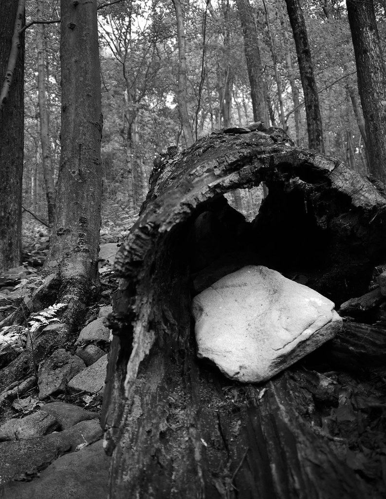 Giant Ledge - Panther - Fox Hollow TrailHikingPhoto: GRI SHA, CC BY-SA 2.0 (via Flickr)2 mi
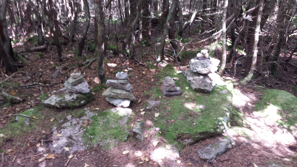 Fisherman's Path - Lone Herd PathHikingPhoto: ke9tv, CC BY-SA 2.0 (via Flickr)2.1 mi
- Lone-Rocky Herd PathHikingPhoto: ke9tv, CC BY-SA 2.0 (via Flickr)2.1 mi
 Wittenberg - Cornell - Slide TrailHikingPhoto: ke9tv, CC BY-SA 2.0 (via Flickr)2.6 mi
 Esopus CreekCanoeingPhoto: Daniel Case, CC BY-SA 4.0 (via Wikimedia Commons)2.7 mi
- Phoenicia, Sportsman's WallRock climbing7.3 mi
 Table MountainSummitPhoto: Daniel Case, CC BY-SA 3.0 (via Wikimedia Commons)~5 min drive
 Peekamoose MountainSummitPhoto: Kevin Kenny from Niskayuna, NY, Schenectady. Cropped and color-corrected prior to upload by Daniel Case, CC BY-SA 2.0 (via Wikimedia Commons)~6 min drive
- Panther MountainSummitPhoto: The original uploader was Daniel Case at English Wikipedia., CC BY-SA 3.0 (via Wikimedia Commons)~7 min drive
 High PointSummitPhoto: Magpieturtle, CC BY 4.0 (via Wikimedia Commons)~12 min drive
 Eagle MountainSummitPhoto: TheTurducken. Edited slightly prior to upload by Daniel Case, CC BY 2.0 (via Wikimedia Commons)~13 min drive
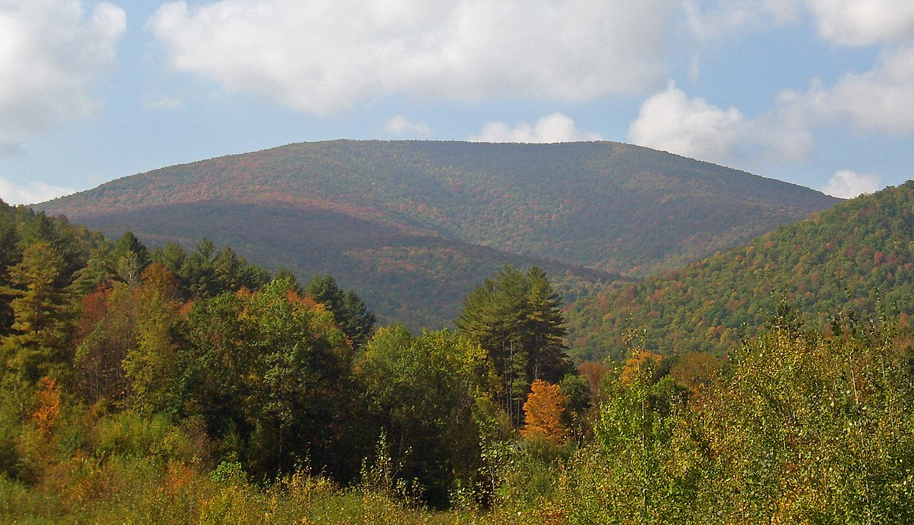 Balsam MountainSummitPhoto: Daniel Case, CC BY-SA 3.0 (via Wikimedia Commons)~14 min drive
 Graham MountainSummitPhoto: Daniel Case, CC BY-SA 3.0 (via Wikimedia Commons)~15 min drive
 Balsam Lake MountainSummitPhoto: Daniel Case, CC BY-SA 3.0 (via Wikimedia Commons)~19 min drive
 Mount SherrillSummitPhoto: Daniel Case, CC BY-SA 3.0 (via Wikimedia Commons)~21 min drive
 Plateau MountainSummitPhoto: Daniel Case, CC BY-SA 3.0 (via Wikimedia Commons)~25 min drive
Also worth it near here
- Friday - Wittenberg - Cornell - Slide Trail Herd PathHikingPhoto: New York Public Library, No restrictions (via Wikimedia Commons)~3 min drive
- Slide Mountain Wilderness Primitive CampsiteCamping~3 min drive
- Esopus CreekCanoeingPhoto: Daniel Case, CC BY-SA 4.0 (via Wikimedia Commons)~5 min drive
- Phoenicia, Sportsman's WallRock climbing~12 min drive
Conditions and forecast
Daily highs and lows, wind and the chance of precipitation at the summit for the next 7 days, from the Open-Meteo model.
Questions about Slide Mountain
How tall is Slide Mountain?
4,184 ft (1,275 m).
Is there a trail to the top of Slide Mountain?
We don't know of a mapped trail or route to the summit. Plan the approach with local maps, a guidebook or a local guide.
Ask about this place
Questions about Slide Mountain: conditions, access, timing. Answers say when something isn't known.
