
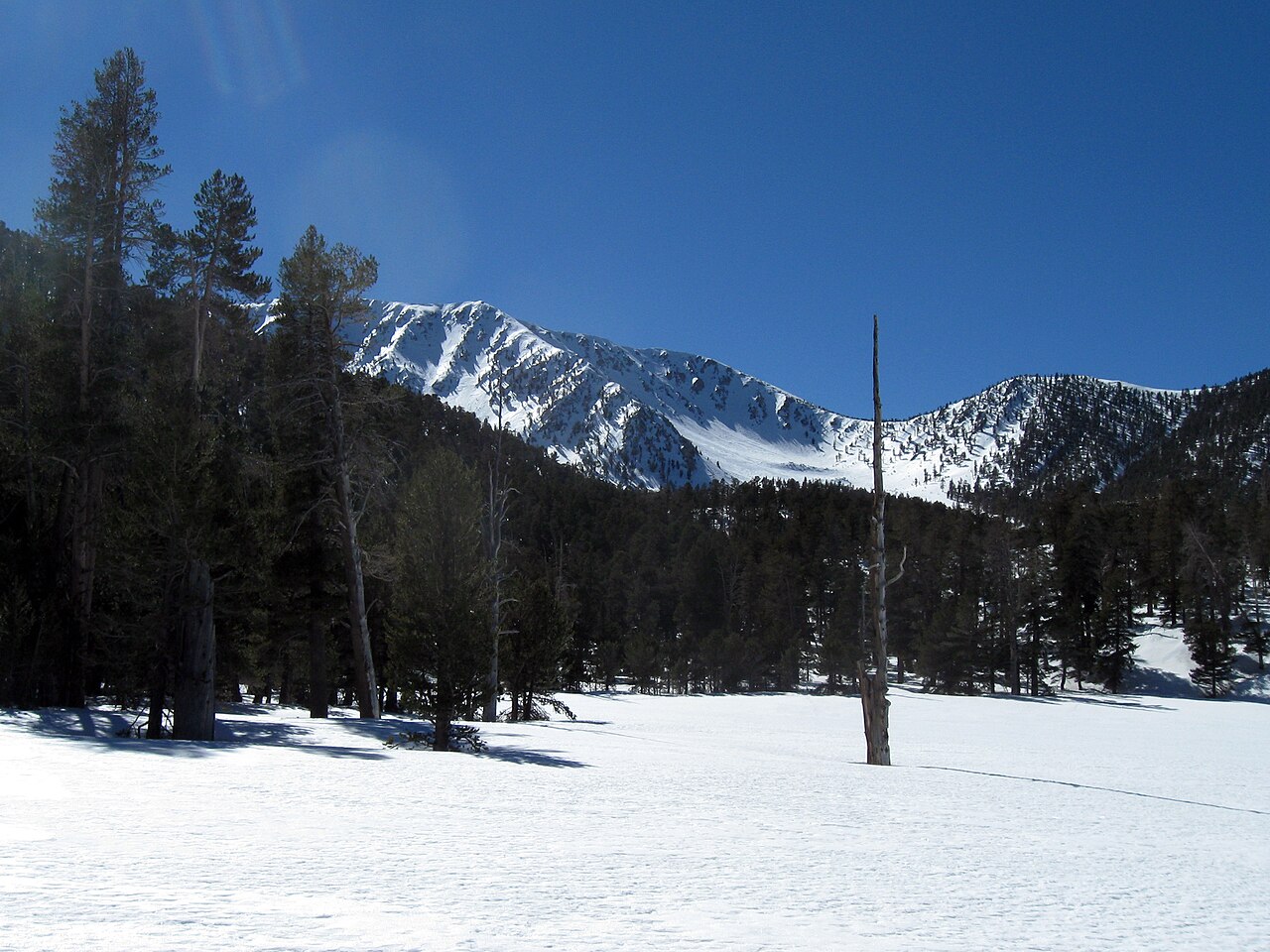
San Gorgonio Trail Camp
Campground
0.2 mi from the trail
 Photo: Mitch from Costa Mesa, CA, USA, CC BY-SA 2.0 (via Wikimedia Commons)
Sky High is a 3.89-mile trail at Shields Peak in California with 3,071 feet of elevation gain. The trail is managed by the Forest Service as part of the Shields Peak trail system.
Near: Yucaipa
Been here? Tell people how it was.
San Gorgonio MountainMountain bikingPhoto: Mitch from Costa Mesa, CA, USA, CC BY-SA 2.0 (via Wikimedia Commons)Next door Santa Ana River TrailMountain bikingPhoto: Basar, CC BY-SA 3.0 (via Wikimedia Commons)~7 min drive
 Fish CreekMountain bikingPhoto: Michael Dorausch from Venice, CC BY-SA 2.0 (via Wikimedia Commons)~4 min driveSanta Ana River TrailMountain bikingPhoto: Basar, CC BY-SA 3.0 (via Wikimedia Commons)~8 min drive
 HalfwayMountain bikingPhoto: Patrick Kajirian, CC BY 3.0 (via Wikimedia Commons)~5 min drive
 Dobbs Cabin SpurMountain bikingPhoto: inkknife_2000 (7.5 million views +), CC BY-SA 2.0 (via Wikimedia Commons)~7 min drive
Daily highs and lows, wind and the chance of precipitation at Start for the next 7 days, from the Open-Meteo model.
Questions about Sky High: conditions, access, timing. Answers say when something isn't known.
San Gorgonio Trail Camp
Campground
 If it rainsVisitor7, CC BY-SA 3.0 · Wikimedia Commons
Places © OpenStreetMap contributors · Photos: Visitor7, CC BY-SA 3.0 (commons)
More in Desert Hot SpringsNot on Roamze yet. Their page has how to reach them.
Map and trail data © OpenStreetMap contributors
