Musch Hike-In Camp
Campground
4.5 mi from the trail
 Photo: Clyde Charles Brown, CC BY-SA 4.0 (via Wikimedia Commons)
San Vicente Mountain is a summit of about 1,936 feet in Los Angeles County, California, within the Santa Monica Mountains National Recreation Area. The land is managed as Regional Agency Land, and the nearest town is Topanga, about 6 miles away. Spring and fall are the most comfortable times to visit. Typical averages from a nearby weather station show April highs around 70°F and October highs around 77°F, while winter brings the most wet days, about six a month. Several trails start close by. Sullivan Spur Trail is about 0.7 miles away, and Farmers Ridge Trail and HWD Ridge Trail are each about a mile off. Climbers can head to Main Wall, roughly 5 miles away.
Where it is: Santa Monica Mountains National Recreation Area · San Vicente Mountain Park
Near: Los Angeles
Best months: Year-round. Best months have typical highs of 55–85 °F, lows of 30 °F or warmer (32 °F where the station doesn't record snow), at most one snowy day and no more than 12 wet days.
Jan
66°
52°
6 wet
Feb
66°
50°
6 wet
Mar
68°
51°
5 wet
Apr
70°
52°
3 wet
May
73°
54°
2 wet
Jun
75°
56°
1 wet
Jul
80°
60°
1 wet
Aug
83°
62°
0 wet
Sep
82°
63°
1 wet
Oct
77°
59°
3 wet
Nov
72°
56°
4 wet
Dec
65°
51°
7 wet
Typical high / low (°F) and days with rain or snow, 1991–2020. Measured at Getty Ctr, CA, 3.5 mi away at 1,117 ft. The station sits about 800 ft lower than this place, so expect it a little cooler here. Source: NOAA NCEI U.S. Climate Normals 1991–2020.
Been here? Tell people how it was.


 Sullivan Spur TrailHikingPhoto: sergei.gussev, CC BY 2.0 (via Flickr)0.7 mi
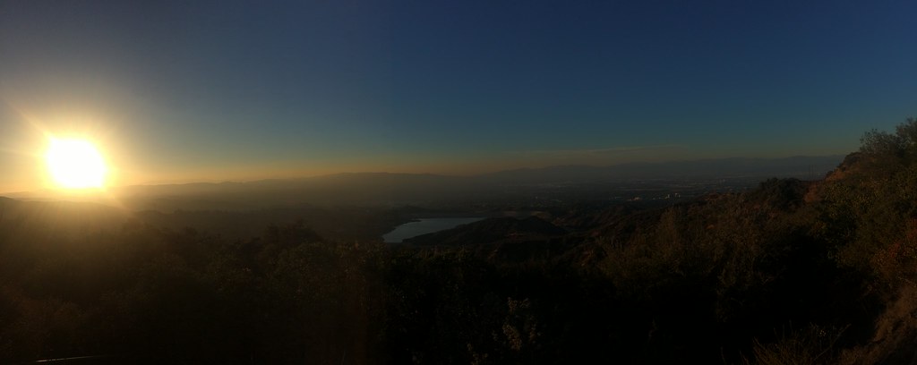 Farmers Ridge TrailHikingPhoto: sergei.gussev, CC BY 2.0 (via Flickr)1.1 miHWD Ridge TrailHikingPhoto: sergei.gussev, CC BY 2.0 (via Flickr)1.2 mi
 Main WallRock climbingPhoto: timatymusic, CC BY 2.0 (via Flickr)5.1 miTick RockRock climbingPhoto: timatymusic, CC BY 2.0 (via Flickr)5.1 miCahuenga PeakSummitPhoto: Junkyardsparkle, CC0 (via Wikimedia Commons)~18 min drive
 Mount LeeSummitPhoto: Downtowngal, CC BY-SA 3.0 (via Wikimedia Commons)~19 min driveMount HollywoodSummitPhoto: Dipsey, CC BY-SA 3.0 (via Wikimedia Commons)~21 min drive
 Mission PointSummitPhoto: User:Jordan Brown, Public domain (via Wikimedia Commons)~22 min drive
 Castro PeakSummitPhoto: USMARINE0311 from California, United States, CC BY-SA 2.0 (via Wikimedia Commons)~27 min drive
 Sandstone PeakSummitPhoto: Wasquewhat, CC BY-SA 4.0 (via Wikimedia Commons)~41 min drive
 Boney PeakSummitPhoto: Justin Johnsen (Justin.Johnsen), CC BY-SA 3.0 (via Wikimedia Commons)~42 min drive
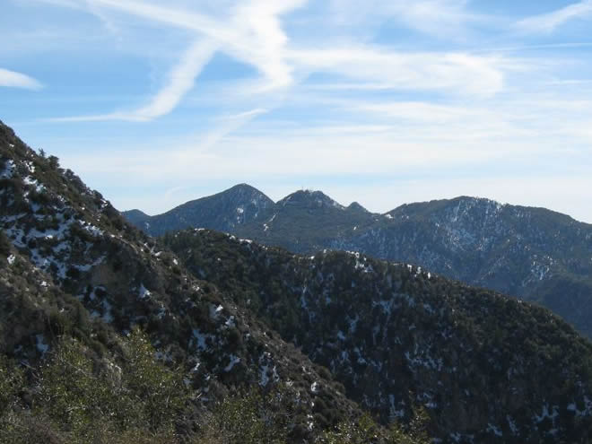 San Gabriel PeakSummitPhoto: Justin.Johnsen, CC BY 3.0 (via Wikimedia Commons)~43 min drive
 Mount WilsonSummitPhoto: The original uploader was Geographer at English Wikipedia., CC BY 1.0 (via Wikimedia Commons)~46 min drive
 Workman HillSummitPhoto: Sergei Gussev, CC BY 2.0 (via Wikimedia Commons)~53 min drive
Daily highs and lows, wind and the chance of precipitation at the summit and route start for the next 7 days, from the Open-Meteo model.
1,936 ft (590 m).
One: Mulholland Drive (unpaved).
Questions about San Vicente Mountain: conditions, access, timing. Answers say when something isn't known.
Musch Hike-In Camp
Campground
 If it rainsCbl62 ( talk ), CC BY-SA 3.0 · Wikimedia Commons
Los Encinos State Historic Park
Museum
State historic park in Los Angeles County, California, United States
Places © OpenStreetMap contributors, Places © Overture Maps Foundation · Photos: Cbl62 ( talk ), CC BY-SA 3.0 (commons)
More in Moorpark