Robie Point
At a glance
Robie Point is a summit of 1,224 feet in Auburn State Recreation Area, about 1.3 miles from the town of Auburn, California. It sits at the center of a cluster of trails, with the Robie Point Fuel Break Trail and the Western States Trail;Robie Point Fuel Break Trail both starting within a tenth of a mile. Spring and fall are the most comfortable times to visit. Typical averages from a nearby weather station in Auburn show May and October highs around 77°F, while July and August average in the low 90s and winter brings the most wet days. The Tamaroo Bar Trail and Contour Trail are both within a third of a mile. Climbers can find the Auburn and Grass Valley area about 0.7 miles away and the Fins about 1.6 miles away.
- summit
- 1,224 ft
- ways up
- 2
- best months
- Oct–May
Where it is: Auburn State Recreation Area
Near: Auburn · 1.3 mi
Best time to visit Robie Point
Best months: October–May. Best months have typical highs of 55–85 °F, lows of 30 °F or warmer (32 °F where the station doesn't record snow), at most one snowy day and no more than 12 wet days.
Jan
56°
38°
11 wet
Feb
59°
40°
10 wet
Mar
63°
42°
9 wet
Apr
68°
45°
7 wet
May
77°
52°
5 wet
Jun
86°
58°
2 wet
Jul
93°
63°
0 wet
Aug
92°
63°
1 wet
Sep
87°
60°
1 wet
Oct
77°
52°
3 wet
Nov
64°
43°
7 wet
Dec
56°
37°
10 wet
Typical high / low (°F) and days with rain or snow, 1991–2020. Measured at Auburn, CA, 2 mi away at 1,292 ft. This station doesn't record snowfall. Source: NOAA NCEI U.S. Climate Normals 1991–2020.
Been here? Tell people how it was.
- Western States Trail;Robie Point Fuel Break TrailEasyabout 441 ft of climbing0.8 mi round trip
- Robie Point Fuel Break TrailModerateabout 1,221 ft of climbing1.5 mi round trip
Compare the routes Western States Trail;Robie Point Fuel Break Trail Robie Point Fuel Break Trail Climbing About 441 ft About 1,221 ft Round trip 0.8 mi 1.5 mi Difficulty Easy Moderate Terrain Hike Hike Map © Mapbox © OpenStreetMap contributors - Cock Robin Point2,480 ft · California1 route12 mi away
- Ophir Hill2,750 ft · California3 routes22 mi away
- Signal Peak7,843 ft · California1 route42 mi away
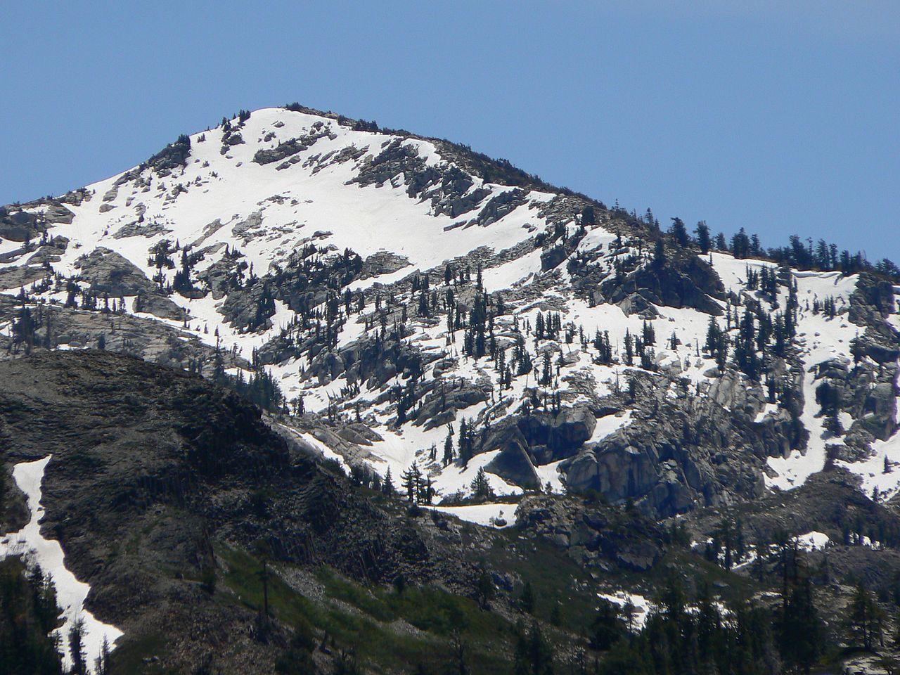 Tells Peak8,872 ft · California1 route43 mi awayPhoto: Nick Ares from Auburn, CA, United States, CC BY-SA 2.0 (via Wikimedia Commons)
- Mount Disney7,956 ft · California1 route47 mi away
 Anderson Peak8,687 ft · California1 route48 mi awayPhoto: Tim Berger, CC BY 2.0 (via Wikimedia Commons)
 Western States Trail;Robie Point Fuel Break TrailHikingPhoto: UncleVinny, CC BY 3.0 (via Wikimedia Commons)0.1 mi
 Robie Point Fuel Break TrailHikingPhoto: UncleVinny, CC BY 3.0 (via Wikimedia Commons)0.1 mi
 Tamaroo Bar TrailHikingPhoto: UncleVinny, CC BY 3.0 (via Wikimedia Commons)0.2 mi
 Contour TrailHikingPhoto: UncleVinny, CC BY 3.0 (via Wikimedia Commons)0.3 mi
- Auburn and Grass ValleyRock climbing0.7 mi
- FinsRock climbing1.6 mi
- Tall Green BridgeRock climbing1.8 mi
- Cave Valley (aka Auburn Quarry)Rock climbing2.4 mi
 Gold HillSummitPhoto: Cullen328, CC BY-SA 4.0 (via Wikimedia Commons)~38 min drive
- Tells PeakSummitPhoto: Nick Ares from Auburn, CA, United States, CC BY-SA 2.0 (via Wikimedia Commons)~1h 14m drive
 Silver PeakSummitPhoto: Tahoe Arts and Mountain Culture, CC BY 2.0 (via Wikimedia Commons)~1h 16m drive
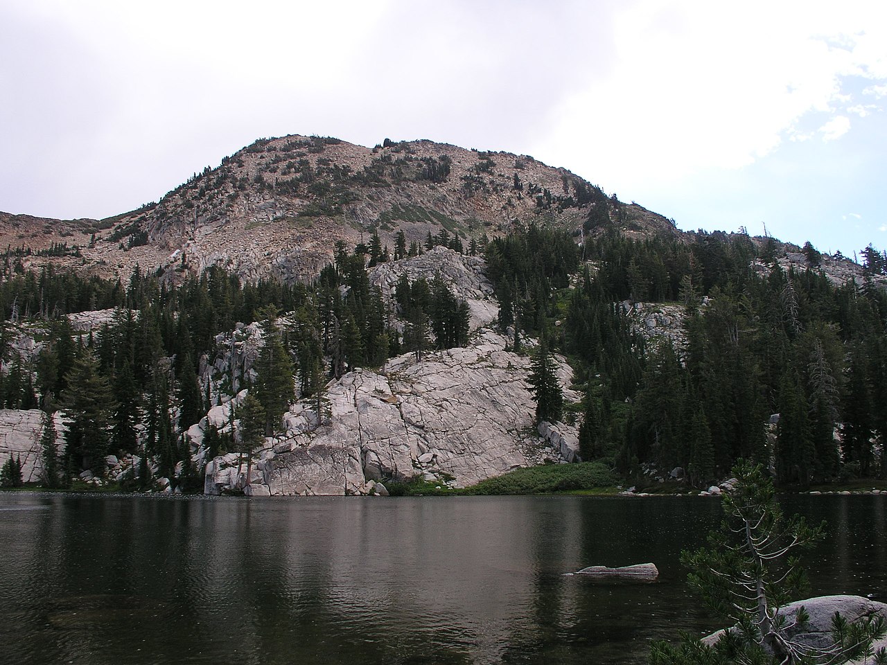 Red PeakSummitPhoto: Tim Berger, CC BY 2.0 (via Wikimedia Commons)~1h 17m drive
 Mount PriceSummitPhoto: Jonathan Fox, CC BY-SA 2.0 (via Wikimedia Commons)~1h 21m drive
- Anderson PeakSummitPhoto: Tim Berger, CC BY 2.0 (via Wikimedia Commons)~1h 22m drive
 Tinker KnobSummitPhoto: Tim Berger, CC BY 2.0 (via Wikimedia Commons)~1h 22m drive
 Phipps PeakSummitPhoto: Tim Berger, CC BY 2.0 (via Wikimedia Commons)~1h 24m drive
 Donner PeakSummitPhoto: Ken Lund, CC BY-SA 2.0 (via Wikimedia Commons)~1h 24m drive
 Castle PeakSummitPhoto: MiguelVieira, CC BY 2.0 (via Wikimedia Commons)~1h 25m drive
Conditions and forecast
Daily highs and lows, wind and the chance of precipitation at the summit and route start for the next 7 days, from the Open-Meteo model.
Questions about Robie Point
How tall is Robie Point?
1,224 ft (373 m).
How many routes go to the summit of Robie Point?
2: Western States Trail;Robie Point Fuel Break Trail and Robie Point Fuel Break Trail.
What is the shortest route up Robie Point?
Western States Trail;Robie Point Fuel Break Trail, about 0.8 mi round trip.
Ask about this place
Questions about Robie Point: conditions, access, timing. Answers say when something isn't known.
