Catoctin Quaker Camp
Campground
3.2 mi from the trail
Right Fork Rocks is a climbing area in Maryland's Frederick Municipal Forest, about half a mile from the Frederick Watershed climbing area. It sits within the municipal forest, and the surrounding area holds several other climbing spots and trails within a few miles. For comfortable weather, late spring and early fall are the best bets. Typical averages from a nearby weather station in Smithsburg show May highs around 72°F and September highs around 77°F, with July peaking near 86°F. The closest neighbors are the Frederick Watershed, about half a mile away, and Risque Pinnacle and Way Down Rocks, each roughly 1.8 miles off. For an overnight stay, Cunningham Falls State Park Campground is about 5.2 miles away.
14 routes · 5.2 – 5.10c · Top Rope
Where it is: Frederick Municipal Forest
Near: Frederick
Best months: April–June and August–October. Best months have typical highs of 55–85 °F, lows of 30 °F or warmer (32 °F where the station doesn't record snow), at most one snowy day and no more than 12 wet days.
Jan
39°
22°
Feb
42°
22°
Mar
51°
29°
Apr
63°
39°
May
72°
49°
Jun
81°
59°
Jul
86°
63°
Aug
84°
61°
Sep
77°
54°
Oct
65°
42°
Nov
53°
32°
Dec
43°
26°
Typical high / low (°F) and days with rain or snow, 1991–2020. Measured at Smithsburg 2nw, MD, 10.5 mi away at 670 ft. This station doesn't record snowfall. Source: NOAA NCEI U.S. Climate Normals 1991–2020.
Been here? Tell people how it was.
 Cliff Trail BouldersRock climbingPhoto: Jarek Tuszyński, CC BY 4.0 (via Wikimedia Commons)~10 min driveCunningham FallsRock climbingPhoto: Jarek Tuszyński, CC BY 4.0 (via Wikimedia Commons)~11 min driveChief BlockRock climbingPhoto: Jarek Tuszyński, CC BY 4.0 (via Wikimedia Commons)~11 min drive
 Wolf RockRock climbingPhoto: TrailVoice, CC BY-SA 2.0 (via Wikimedia Commons)~11 min driveThe Main WallRock climbingPhoto: TrailVoice, CC BY-SA 2.0 (via Wikimedia Commons)~11 min driveWolf's Head PillarRock climbingPhoto: TrailVoice, CC BY-SA 2.0 (via Wikimedia Commons)~11 min drive
Also worth it near here
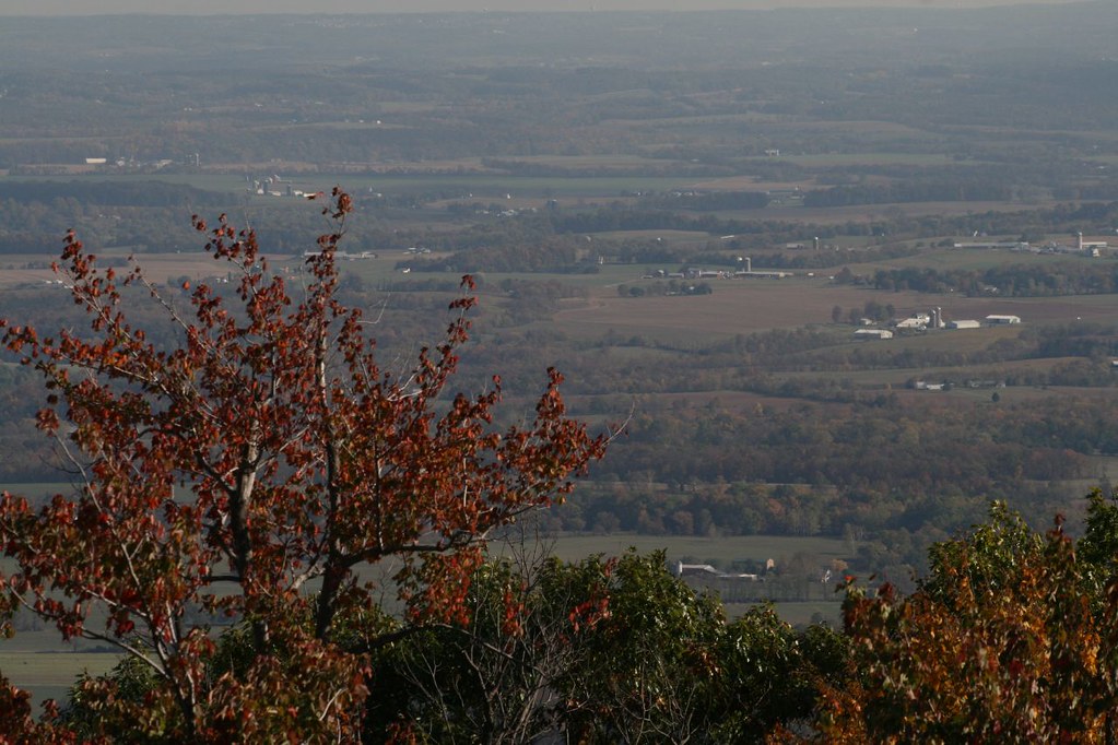 Bob’s Hill TrailHikingPhoto: PBoGS, CC BY-SA 2.0 (via Flickr)~7 min drive
 Chimney RockSummitPhoto: Unknown authorUnknown author or not provided, Public domain (via Wikimedia Commons)~11 min drive
 Camp Greentop Historic DistrictCampingPhoto: Acroterion, CC BY-SA 4.0 (via Wikimedia Commons)~12 min drive
Daily highs and lows, wind and the chance of precipitation at Right Fork Rocks for the next 7 days, from the Open-Meteo model.
Questions about Right Fork Rocks: conditions, access, timing. Answers say when something isn't known.
Catoctin Quaker Camp
Campground
 If it rainsAcroterion, CC BY-SA 4.0 · Wikimedia Commons
Schifferstadt Architectural Museum
Museum
Places © OpenStreetMap contributors, Places © Overture Maps Foundation · Photos: Acroterion, CC BY-SA 4.0 (commons)
More in Ballenger Creek