Renfro Connector
At a glance
Renfro Connector is a short, easy out-and-back hike in Kentucky's Daniel Boone National Forest, within the London Ranger District. The trail is about 1.3 miles long, with a total elevation gain of 76 feet, and it makes a quick addition to a day spent exploring the surrounding area. Spring and fall are the most comfortable times to go. Typical averages from a nearby weather station in Mt Vernon show October highs around 69°F with lows near 45°F, and May highs around 75°F. Summer runs warmer, with July and August highs typically in the mid-80s. S-Tree Campground sits just 0.1 mile away, and the Renfro Loop Trail #302 is 0.2 mile off. Mountain bikers can ride Racoon Creek Road at 0.4 mile, and paddlers can reach the Middle Fork Rockcastle River about 1.9 miles away.
- round trip
- 0.6 mi
- climb
- 76 ft
- route
- Out and back
- difficulty
- Easy
- best months
- Mar–Apr, Jun–Nov
Where it is: London Ranger District · Daniel Boone National Forest
Near: Berea
Best time to visit Renfro Connector
Best months: March–April and June–November. Best months have typical highs of 55–85 °F, lows of 30 °F or warmer (32 °F where the station doesn't record snow), at most one snowy day and no more than 12 wet days.
Jan
42°
25°
12 wet · 2 snow
Feb
47°
27°
10 wet · 2 snow
Mar
56°
35°
12 wet · 1 snow
Apr
67°
44°
12 wet
May
75°
54°
13 wet
Jun
81°
62°
11 wet
Jul
84°
66°
11 wet
Aug
84°
64°
9 wet
Sep
79°
57°
8 wet
Oct
69°
45°
9 wet
Nov
56°
35°
10 wet
Dec
46°
29°
13 wet · 1 snow
Typical high / low (°F) and days with rain or snow, 1991–2020. Measured at Mt Vernon, KY, 14.5 mi away at 1,160 ft. We don't have this place's elevation, so higher spots nearby can run cooler. Source: NOAA NCEI U.S. Climate Normals 1991–2020.
Been here? Tell people how it was.
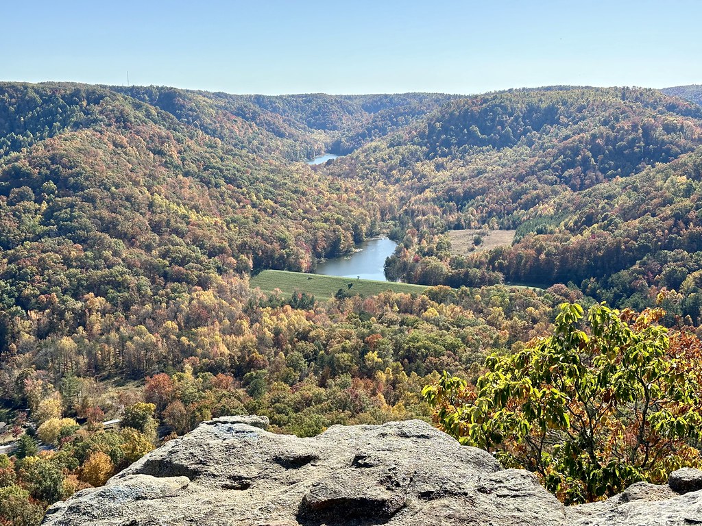 Upper East Pinnacle TrailHikingPhoto: Navin75, CC BY-SA 2.0 (via Flickr)~25 min drive
 Sheltowee TraceHikingPhoto: porterjosh9, CC BY-SA 3.0 (via Wikimedia Commons)~36 min drive
- Sheltowee TraceHiking~7 min drive
- Sheltowee TraceHiking~13 min drive
- Walnut TrailHikingPhoto: Navin75, CC BY-SA 2.0 (via Flickr)~26 min drive
- Sheltowee TraceHiking~24 min drive
- Turkey Foot LoopHiking~18 min drive
- Upper West Pinnacle TrailHikingPhoto: Navin75, CC BY-SA 2.0 (via Flickr)~26 min drive
- Turkey Foot Loop BHiking~19 min drive
- RENFRO LOOPHikingNext door
Conditions and forecast
Daily highs and lows, wind and the chance of precipitation at Start for the next 7 days, from the Open-Meteo model.
Ask about this place
Questions about Renfro Connector: conditions, access, timing. Answers say when something isn't known.
Local outfitters
- Miguels Rock Climbing Shop35 mi away
Not on Roamze yet. Their page has how to reach them.
