Rattlesnake Mountain
 Photo: Martin Kraft, CC BY-SA 3.0 (via Wikimedia Commons)
At a glance
Rattlesnake Mountain is a summit in Park County, Wyoming, at about 8,147 feet.
- summit
- 8,147 ft
- managed by
- State Land Board
Where it is: State Lands 1111114545
Near: Cody · 12.7 mi
Loading this week's forecast
Been here? Tell people how it was.
We don't know of a mapped trail or route to the summit of Rattlesnake Mountain. Plan the approach with local maps, a guidebook or a local guide, and check conditions before you go.
- Windy Mountain10,266 ft · Wyoming1 route20 mi away
- Avalanche Peak10,569 ft · Wyoming1 route42 mi away
- Pelican Cone9,652 ft · Wyoming1 route44 mi away
- Amethyst Mountain9,620 ft · Wyoming1 route50 mi away
- Big Pryor Mountain8,793 ft · Montana2 routes57 mi away
- Lookout Mountain9,871 ft · Montana1 route58 mi away
- Trout CreekCanoeing6.6 mi
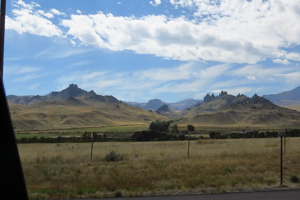 Four Bear Mountain TrailHikingPhoto: George Bannister from Woodville, MS, USA — Wikimedia Commons (CC BY 2.0)6.9 mi
- Rattlesnake CrHiking7 mi
- West Fork Trout CrHiking7.1 mi
- Trout Creek BB St. Pk.River fishing7.8 mi
 The Green MileRock climbingPhoto: waterarchives, CC BY-SA 2.0 (via Flickr)8 mi
- The IslandRock climbingPhoto: waterarchives, CC BY-SA 2.0 (via Flickr)8.1 mi
 The Single Malt WallRock climbingPhoto: waterarchives, CC BY-SA 2.0 (via Flickr)8.1 mi
 Heart MountainSummitPhoto: George Bannister from Woodville, MS, USA, CC BY 2.0 (via Wikimedia Commons)~18 min drive
 Table MountainSummitPhoto: George Bannister from Woodville, MS, USA, CC BY 2.0 (via Wikimedia Commons)~23 min drive
 Whitetail PeakSummitPhoto: Brent, CC BY 2.0 (via Wikimedia Commons)~1h 4m drive
 Eagle PeakSummitPhoto: Public domain (via Wikimedia Commons)~1h 10m drive
 Mount LangfordSummitPhoto: J Schmidt, Public domain (via Wikimedia Commons)~1h 12m drive
 Table MountainSummitPhoto: Yellowstone National Park, Public domain (via Wikimedia Commons)~1h 13m drive
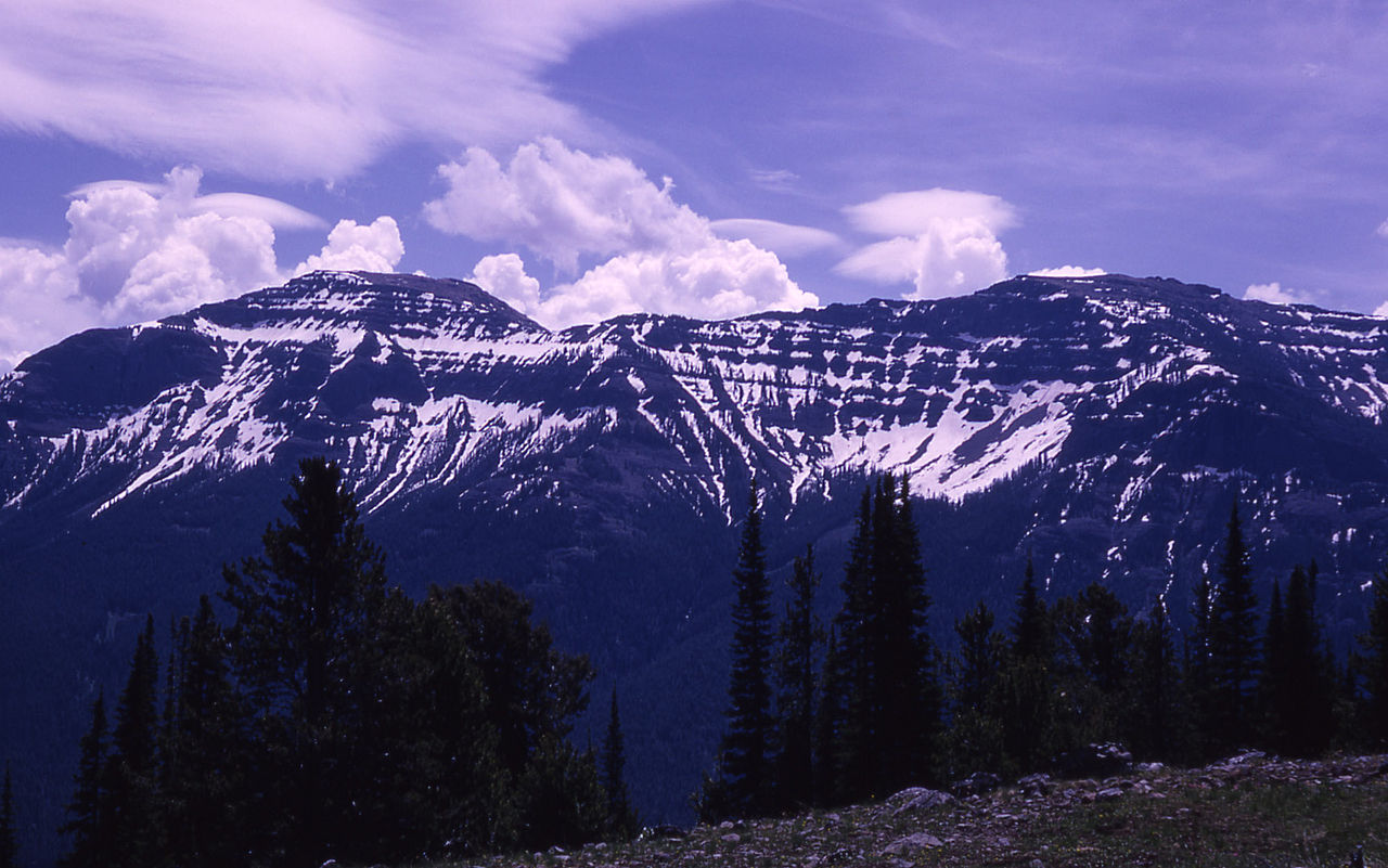 The ThundererSummitPhoto: RG Johnsson, Public domain (via Wikimedia Commons)~1h 14m drive
 Francs PeakSummitPhoto: Ralph Maughan, CC BY-SA 2.5 (via Wikimedia Commons)~1h 14m drive
 Amphitheater MountainSummitPhoto: Yellowstone National Park from Yellowstone NP, USA, Public domain (via Wikimedia Commons)~1h 15m drive
 Mount StevensonSummitPhoto: William Henry Jackson, Public domain (via Wikimedia Commons)~1h 16m drive
Conditions and forecast
Daily highs and lows, wind and the chance of precipitation at the summit for the next 7 days, from the Open-Meteo model.
Questions about Rattlesnake Mountain
How tall is Rattlesnake Mountain?
8,147 ft (2,483 m).
Is there a trail to the top of Rattlesnake Mountain?
We don't know of a mapped trail or route to the summit. Plan the approach with local maps, a guidebook or a local guide.

Ask about this place
Questions about Rattlesnake Mountain: conditions, access, timing. Answers say when something isn't known.
