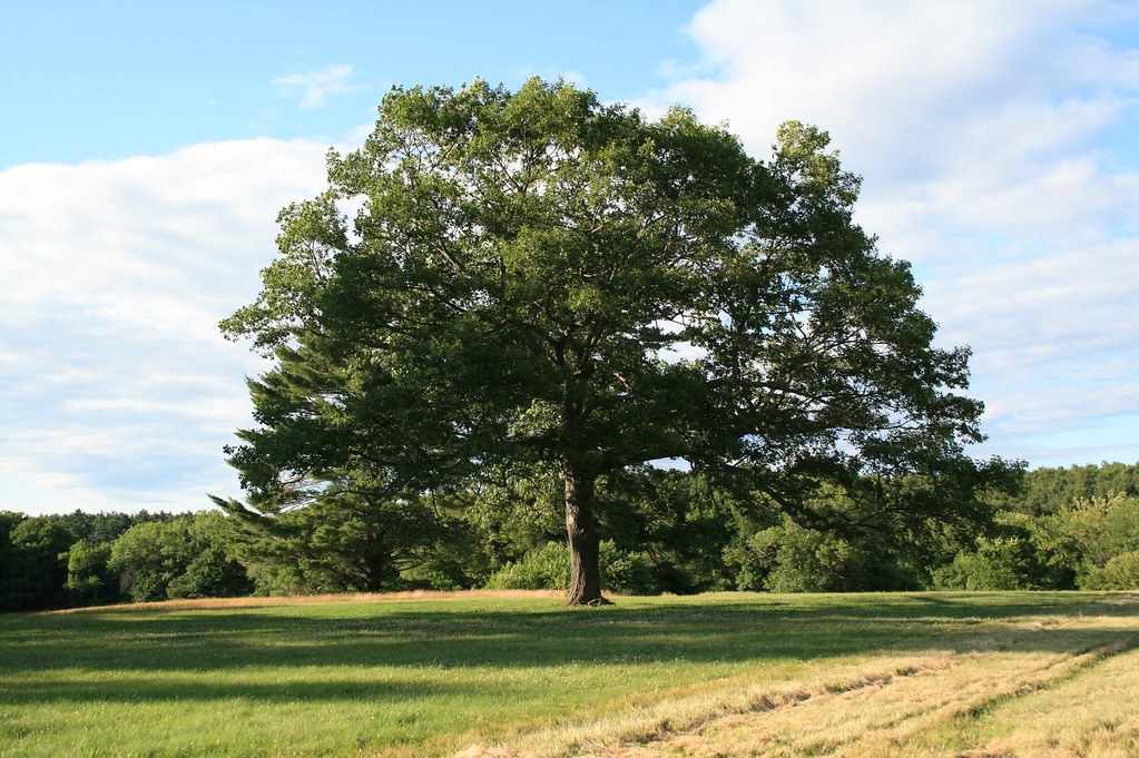
Tuxbury Pond RV Campground
Campground
2.6 mi from the trail
Powwow Hill is a summit in Massachusetts, about 1.3 miles from the town of Amesbury. It sits at 332 feet, and the AES Nature Trail and The New Trail both start within a tenth of a mile, so the hill is easy to fold into a walk on one of those routes. For comfortable weather, late spring and early fall are the best bets. Typical averages from a nearby weather station in Haverhill show May highs around 67°F and September highs around 73°F, with July the warmest month at about 82°F. That station sits well below the hill, so temperatures on the summit run cooler. The Stagecoach Trail is about 0.3 miles away. Paddlers can head to the Powwow River, about 5 miles off, and climbers will find Scotland Boulder aka Haystack Boulder roughly 6 miles away.
Near: Amesbury · 1.3 mi
Early April to early June and early September to mid-November are usually best for the summit here.
Typical highs of 51–75°F and lows of 30°F or warmer in those weeks. Rain falls on about 40% of days at the wettest of them, so plan around showers.
Typical weather: NOAA 1991–2020 normals at Haverhill, MA, 10 mi away. Not a forecast.
Typical weather by monthBest months: April–May and September–November. Best months are the ones mostly made of the best weeks for the summit: typical temperatures in its comfortable range, few snowy days and not usually wet, judged with the same limits as our good-day forecasts.
Jan
35°
16°
11 wet
Feb
38°
17°
10 wet
Mar
45°
24°
12 wet
Apr
57°
34°
12 wet
May
67°
45°
12 wet
Jun
76°
54°
11 wet
Jul
82°
61°
11 wet
Aug
81°
59°
10 wet
Sep
73°
51°
9 wet
Oct
62°
40°
11 wet
Nov
51°
31°
11 wet
Dec
40°
22°
12 wet
Typical high / low (°F) and days with rain or snow, 1991–2020. Measured at Haverhill, MA, 9.6 mi away at 20 ft. This station doesn't record snowfall. Source: NOAA NCEI U.S. Climate Normals 1991–2020.
Been here? Tell people how it was.
| AES Nature Trail | The New Trail | |
|---|---|---|
| Climbing | About 357 ft | About 542 ft |
| Round trip | 0.7 mi | 1.0 mi |
| Difficulty | Easy | Easy |
| Terrain | Hike | Hike |

 Powwow RiverCanoeingPhoto: Botteville, CC BY-SA 3.0 (via Wikimedia Commons)4.9 mi
 Squamscott RiverCanoeingPhoto: Unknown author, Public domain (via Wikimedia Commons)8 mi
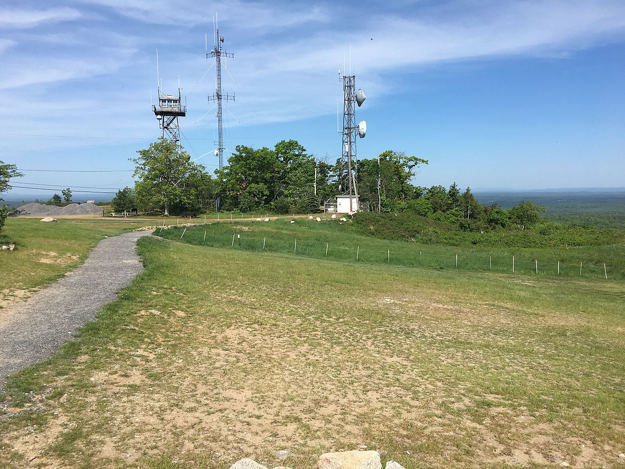 Mount AgamenticusSummitPhoto: Fredlyfish4, CC BY-SA 4.0 (via Wikimedia Commons)~47 min driveWeir HillSummitPhoto: User:Magicpiano, CC BY-SA 4.0 (via Wikimedia Commons)~25 min drive
 Waitts MountainSummitPhoto: Thea Prum from Boston, USA, CC BY-SA 2.0 (via Wikimedia Commons)~52 min drive
Daily highs and lows, wind and the chance of precipitation at the summit and route start for the next 7 days, from the Open-Meteo model.
332 ft (101 m).
2: AES Nature Trail and The New Trail.
AES Nature Trail, about 0.7 mi round trip.
Questions about Powwow Hill: conditions, access, timing. Answers say when something isn't known.
Tuxbury Pond RV Campground
Campground
 If it rainsDaderot at en.wikipedia, CC BY-SA 3.0 · Wikimedia Commons
Places © OpenStreetMap contributors, Places © Overture Maps Foundation · Photos: Daderot at en.wikipedia, CC BY-SA 3.0 (commons)
More in Newburyport