Tuxbury Pond RV Campground
Campground
Campground · 2.6 mi from the trail
AES Nature Trail is a short, easy out-and-back hike in Massachusetts, about 0.7 miles from the town of Amesbury. The trail is 0.7 miles long, with a total elevation gain of 357 feet, and it starts and ends at about 323 feet. The climb is rolling, and the steepest stretch comes within the first 0.05 miles, with a grade of about 14 percent. The most comfortable months for a visit are typically late spring through early fall. Typical averages from a nearby weather station in Haverhill run from highs around 67°F in May to about 82°F in July, with September easing back to around 73°F. The trail makes an easy pairing with other short walks in the area. The New Trail is just 0.1 mile away, and the Stagecoach Trail is about 0.3 mile off. Castle Hill Trail lies roughly 2.2 miles away, and the Powwow River, a canoeing route, is about 5 miles away.
Tuxbury Pond RV Campground
Campground
 If it rainsDaderot at en.wikipedia, CC BY-SA 3.0 · Wikimedia Commons
Places © OpenStreetMap contributors, Places © Overture Maps Foundation · Photos: Daderot at en.wikipedia, CC BY-SA 3.0 (commons)
More in NewburyportDaily highs and lows, wind and the chance of precipitation at the summit and route start for the next 7 days, from the Open-Meteo model.
 Powwow RiverCanoeingPhoto: Botteville, CC BY-SA 3.0 (via Wikimedia Commons)5 mi
 Squamscott RiverCanoeingPhoto: Unknown author, Public domain (via Wikimedia Commons)8 mi
Source: Roamze catalog (indexable pages within 10 miles, PostGIS distance)
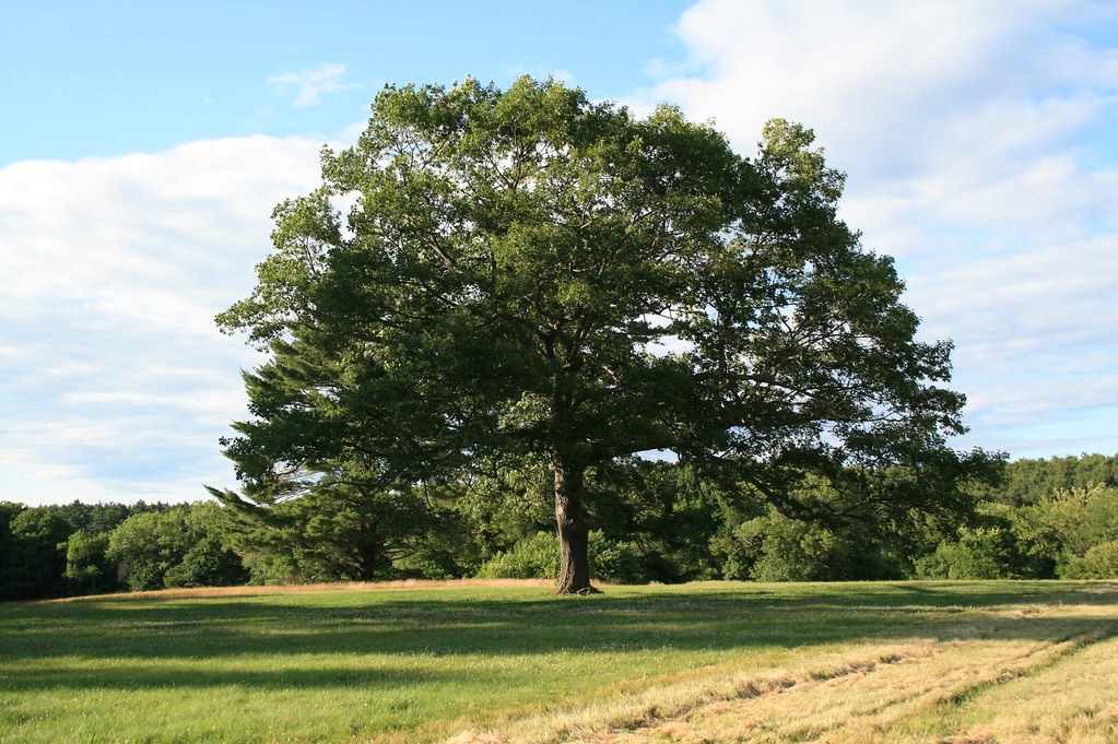 Randal J. Millen Nature TrailHiking · ~7 min drivePhoto: xshutter_bugx, CC BY 2.0 (via Flickr)
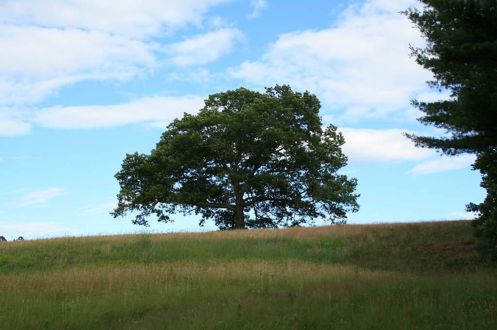 Artichoke TrailHiking · ~8 min drivePhoto: xshutter_bugx, CC BY 2.0 (via Flickr)
 The Webelos TrailHiking · ~12 min drivePhoto: joebackward, CC BY 2.0 (via Flickr)North Slope TrailHiking · ~12 min drivePhoto: joebackward, CC BY 2.0 (via Flickr)
 River TrailHiking · ~12 min drivePhoto: jwalsh, CC BY 2.0 (via Flickr)Spring TrailHiking · ~12 min drivePhoto: jwalsh, CC BY 2.0 (via Flickr)
Best months: April–October. Best months have typical highs of 55–85 °F, lows of 30 °F or warmer (32 °F where the station doesn't record snow), at most one snowy day and no more than 12 wet days.
Jan
35° / 16°
11 wet
Feb
38° / 17°
10 wet
Mar
45° / 24°
12 wet
Apr
57° / 34°
12 wet
May
67° / 45°
12 wet
Jun
76° / 54°
11 wet
Jul
82° / 61°
11 wet
Aug
81° / 59°
10 wet
Sep
73° / 51°
9 wet
Oct
62° / 40°
11 wet
Nov
51° / 31°
11 wet
Dec
40° / 22°
12 wet
Typical high / low (°F) and days with rain or snow, 1991–2020. Measured at Haverhill, MA, 9.7 mi away at 20 ft. This station doesn't record snowfall. Source: NOAA NCEI U.S. Climate Normals 1991–2020.
About 0.4 mi round trip.
About 357 ft of climbing round trip.
It is rated easy.
About 0 hours round trip.
2: AES Nature Trail and The New Trail.
Map and trail data © OpenStreetMap contributors
