Pipe Trail
Arizona
Free — you'll pick up right here.
1.1 mi
Distance
182 ft
Gain
25 min
Time
No verdict for this trail
We won't guess. Here is exactly what we do and don't know.
What we do know
Inside Coronado National Forest
2 managing-area boundaries mapped — agency alerts for them feed this page automatically.
Boundary data
What's missing
No access route mapped
We don't yet know which road reaches this trailhead, so we can't tell you if it's gated.
Nobody's filed a report here yet — be the first.
Why you'll love it
Here's your day, mapped
Pipe Trail
Suggested plan · check conditions before you go
Meals
Gear for the day
Elevation & route
- Distance
- 1.1 mi
- Elevation gain
- 182 ft
- Elevation loss
- 182 ft
- Highest point
- 4,428 ft
- Lowest point
- 4,354 ft
Photos
Directions & GPX
Permits & access
- Managing agency
- Forest Service
About this trail
Pipe Trail is a 2.16-mile out-and-back route in Arizona with 182 feet of elevation gain. The trail reaches a maximum elevation of 4,428 feet.
Add to a trip & share
Keep exploring — more trails worth the drive
 Photo: Joe Passe, CC BY-SA 2.0 (via Flickr)
Crystal Spring
~14 min drive
7.47-mile out-and-back trail to Crystal Spring in Arizona with 467 ft gain.
Photo: Joe Passe, CC BY-SA 2.0 (via Flickr)East Ski Run Road
~15 min drive
A brief 0.69-mile out-and-back trail in Arizona that connects to the Aspen Draw Trail system.
 Photo: Joe Passe, CC BY-SA 2.0 (via Flickr)
Aspen Draw
~15 min drive
Aspen Draw is a 3.86-mile out-and-back trail in Arizona with 1,095 ft of elevation gain.
Oracle Ridge Trail #1
~11 min drive
A 7.85-mile out-and-back dirt trail in Arizona ideal for hikers looking for a straightforward desert hiking experience.
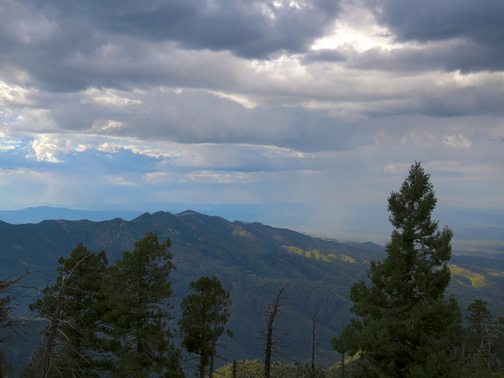 Photo: treegrow, CC BY 2.0 (via Flickr)
Davis Spring
~16 min drive
12.09-mile out-and-back trail to Davis Spring in Arizona with 282 ft gain.
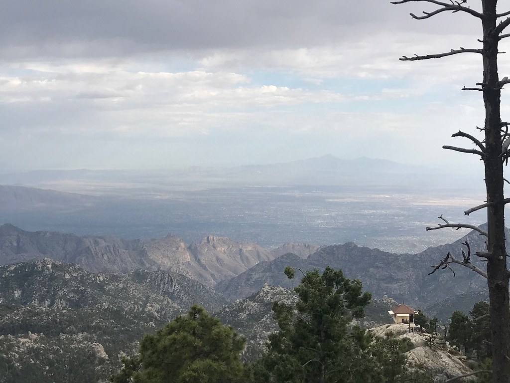 Photo: 666isMONEY ☮ ♥ & ☠, CC BY 2.0 (via Flickr)
Meadow
~17 min drive
Meadow is a 1.67-mile out-and-back trail in Arizona with 13 feet of elevation gain.
 Photo: KimonBerlin, CC BY-SA 2.0 (via Flickr)
Mint Springs
~17 min drive
3.35-mile out-and-back trail to Mint Springs in Arizona with 167 ft of elevation gain.
Evans Mountain
~15 min drive
11.74-mile out-and-back trail at Evans Mountain in Arizona with 1,037 ft of elevation gain.
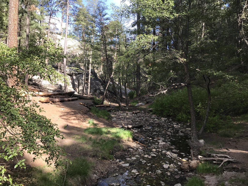 Photo: 666isMONEY ☮ ♥ & ☠, CC BY 2.0 (via Flickr)
North Sabino Canyon Park
~17 min drive
1.24-mile out-and-back trail in Arizona with 397 ft elevation gain.
Photo: KimonBerlin, CC BY-SA 2.0 (via Flickr)Marshall Gulch Trail #3
~17 min drive
A moderate 1.30-mile out-and-back trail in Arizona that connects to Aspen Trail #93, ideal for hikers seeking a straightforward mountain experience.
Also worth it near here
Haycreek Ranch
~2 min drive
Restroom
~3 min drive
 Photo: Colton Marshall abstractstatemachine, CC0 (via Wikimedia Commons)
Aspen Draw
~16 min drive
Photo: Colton Marshall abstractstatemachine, CC0 (via Wikimedia Commons)Loma Linda
~16 min drive
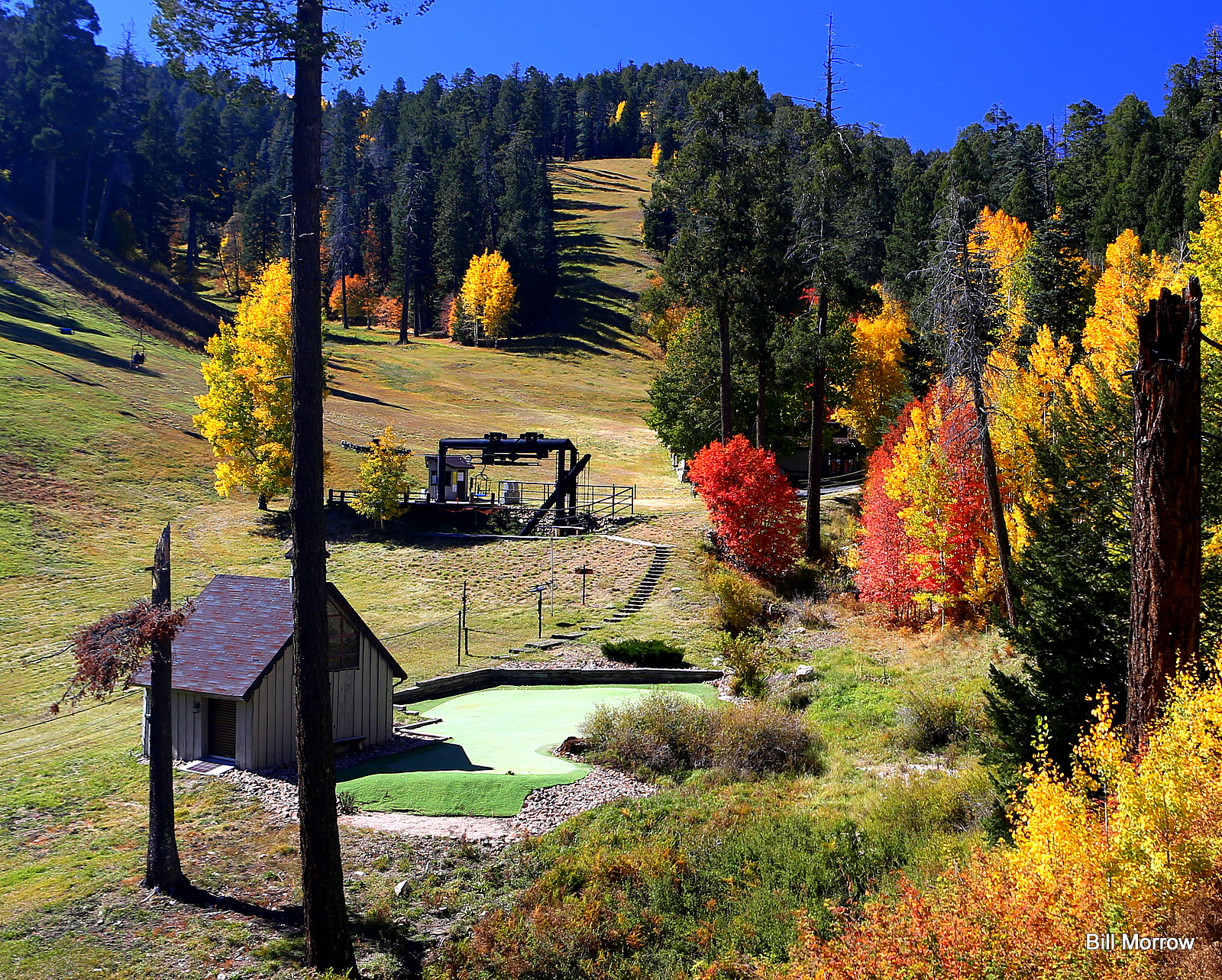 Photo: Bill Morrow, CC BY 2.0 (via Wikimedia Commons)
Mount Lemmon Ski Valley
~16 min drive
Map and trail data © OpenStreetMap contributors
