Paradise Valley
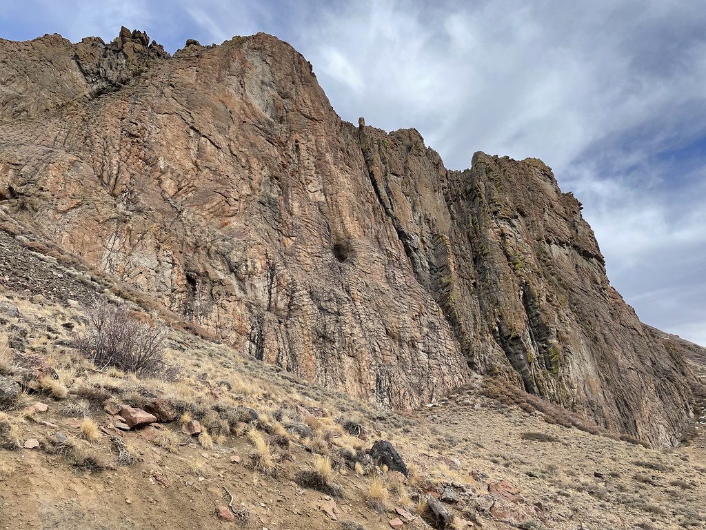
 Photo: Seth Tisue, CC BY-SA 2.0 (via Flickr)
At a glance
Paradise Valley is a climbing area in Nevada's Humboldt-Toiyabe National Forest, within the Santa Rosa Ranger District. The Forest Service manages the land, and the area is set among a cluster of hiking routes and campgrounds, making it a natural base for a day or longer in the district. Six alpine-style climbing routes sit within the valley, with grades ranging from 5.6 to 5.10c. The easiest is Solid Silver on the Hinkey Hop Crag, and the hardest is Ridin' Out the Storm. The other routes include Route to Nowhere at 5.8, Melarkey Street at 5.8 and Paiute Pockets at 5.9. Slick Rock is the closest hike, about half a mile away, and Slick Rock Trail is about 1.6 miles off. Lye Creek Campground, roughly 1.9 miles away, offers a place to stay. Deep Creek to Box Canyon is about 2.9 miles away.
6 routes · 5.6 – 5.10c · Alpine
Where it is: Santa Rosa Ranger District · Humboldt-Toiyabe National Forest
Near: Winnemucca
Been here? Tell people how it was.
Conditions and forecast
Caution todayAgency alerts are in effect for this areaUSFS · checked 11 min agoDaily highs and lows, wind and the chance of precipitation at Paradise Valley for the next 7 days, from the Open-Meteo model.


Ask about this place
Questions about Paradise Valley: conditions, access, timing. Answers say when something isn't known.
