null
At a glance
This out-and-back hike on National Park Service land in Montana's Bighorn Canyon National Recreation Area rises about 5,000 feet from a low of about 3,700 feet to a high of roughly 5,300 feet, over a route of about 10 miles. The climb is rated expert, and the high point sits at about 5,340 feet. The most comfortable months for the trip are typically June and September. Typical averages from a nearby weather station in Lovell, Wyoming, run from highs around 78°F in June to about 74°F in September, though that station sits roughly 1,500 feet lower than the route's high point, so temperatures up top run cooler. Several other hikes start close by. South Pasture is about 0.1 mile away, the Hillsboro Trail about 0.4 mile, and Barry's Island Trail about 0.8 mile. The Two Eagles Interpretive Trail is about 2.6 miles off.
- round trip
- 9.9 mi
- climb
- 5,031 ft
- high point
- 5,341 ft
- route
- Out and back
- time
- About 6 hours
- best months
- Apr–Jun, Aug–Oct
Where it is: Bighorn Canyon National Recreation Area
Near: Lovell
Best time to visit null
Best months: April–June and August–October. Best months have typical highs of 55–85 °F, lows of 30 °F or warmer (32 °F where the station doesn't record snow), at most one snowy day and no more than 12 wet days.
Jan
31°
7°
2 wet · 1 snow
Feb
36°
12°
2 wet · 2 snow
Mar
50°
23°
3 wet · 1 snow
Apr
58°
31°
5 wet
May
67°
42°
7 wet
Jun
78°
50°
7 wet
Jul
86°
56°
4 wet
Aug
85°
52°
3 wet
Sep
74°
43°
4 wet
Oct
59°
32°
4 wet
Nov
44°
20°
2 wet · 1 snow
Dec
33°
10°
2 wet · 1 snow
Typical high / low (°F) and days with rain or snow, 1991–2020. Measured at Lovell, WY, 20.3 mi away at 3,847 ft. The station sits about 1,500 ft lower than this place, so expect it a little cooler here. Source: NOAA NCEI U.S. Climate Normals 1991–2020.
Been here? Tell people how it was.
- South PastureHiking0.1 mi
- Hillsboro TrailHiking0.4 mi
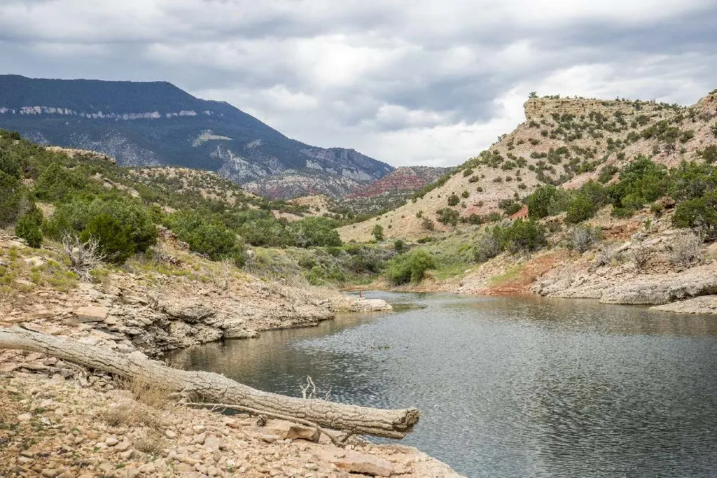 Barry’s Island TrailHikingPhoto: NPS / public domain0.8 mi
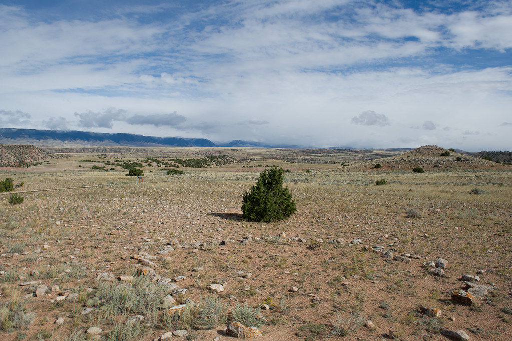 Upper Layout Creek TrailHikingPhoto: Greg_Hanson, CC BY 2.0 (via Flickr)2.3 mi
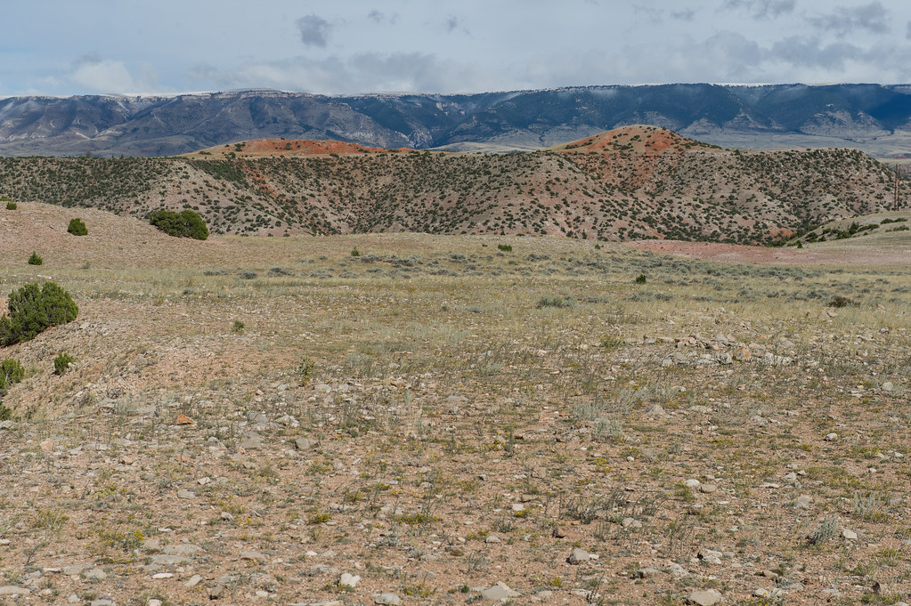 Lower Layout CreekHikingPhoto: Greg_Hanson, CC BY 2.0 (via Flickr)2.4 mi
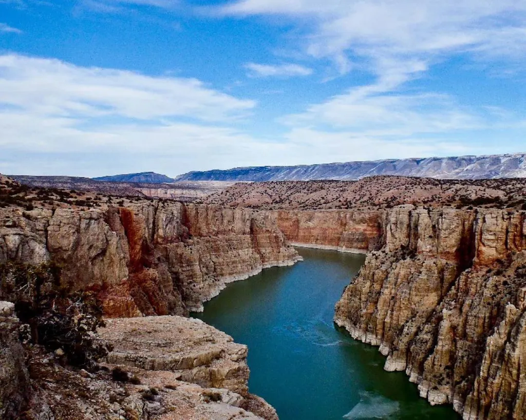 Lower Layout Creek TrailHikingPhoto: NPS / public domain2.4 mi
- Two Eagles Interpretive TrailHikingPhoto: Greg_Hanson, CC BY 2.0 (via Flickr)2.6 mi
- Lockhart Ranch TrailHiking2.6 mi
 Sullivan's Knob TrailHikingPhoto: Mobilus In Mobili, CC BY-SA 2.0 (via Flickr)~8 min drive
- Sullivans KnobHikingPhoto: Mobilus In Mobili, CC BY-SA 2.0 (via Flickr)~8 min drive
- Big PryorHiking~31 min drive
- Mexican HillHiking~34 min drive
- Ranger's Delight TrailHiking~12 min drive
- DCO RidgeHikingPhoto: Mobilus In Mobili, CC BY-SA 2.0 (via Flickr)~10 min drive
- Lodge GrassHiking~38 min drive
- Tillets HoleHiking~39 min drive
- Horseshoe Bend MarinaHiking~18 min drive
 Ranger's DelightHikingPhoto: Greg_Hanson, CC BY 2.0 (via Flickr)~12 min drive
Conditions and forecast
Daily highs and lows, wind and the chance of precipitation at Start for the next 7 days, from the Open-Meteo model.
Ask about this place
Questions about null: conditions, access, timing. Answers say when something isn't known.
Map and trail data © OpenStreetMap contributors
