
Shawnee Forest Campground
Campground
4.9 mi from the trail
Heron Pond Trail is a short, easy hike in Cache River State Natural Area in southern Illinois, managed by the State Department of Natural Resources. The trail is about 1.25 miles long, with a total elevation gain of 34 feet, and it runs from a low point of 344 feet to a high of 385 feet. The route is a point-to-point path, and the steepest stretch comes early on, at about 0.15 miles in, with a grade of 8 percent. Spring and fall are the most comfortable times to go. Typical averages from a nearby weather station show October highs around 71°F with lows near 48°F, and April highs around 68°F. Summer highs typically reach the upper 80s. Bikes are not allowed on this trail. The closest neighbors are the LINKANGE tRAIL, about 0.7 miles away, and the Lookout Point Trail and Little Black Slough Trail, each about a mile off. Paddlers can find Dutchman Creek roughly 5 miles away.
Where it is: Cache River State Natural Area
Near: Vienna
Best months: March–May and September–November. Best months have typical highs of 55–85 °F, lows of 30 °F or warmer (32 °F where the station doesn't record snow), at most one snowy day and no more than 12 wet days.
Jan
43°
26°
10 wet
Feb
48°
30°
9 wet
Mar
57°
37°
10 wet
Apr
68°
47°
10 wet
May
77°
56°
11 wet
Jun
86°
65°
9 wet
Jul
89°
69°
8 wet
Aug
89°
67°
7 wet
Sep
83°
60°
7 wet
Oct
71°
48°
8 wet
Nov
58°
39°
9 wet
Dec
47°
31°
10 wet
Typical high / low (°F) and days with rain or snow, 1991–2020. Measured at Grand Chain Dam 53, IL, 12.7 mi away at 385 ft. This station doesn't record snowfall. Source: NOAA NCEI U.S. Climate Normals 1991–2020.
Been here? Tell people how it was.
 River to River Segment 4 - U.S. 45 to Ferne ClyffeHikingPhoto: usfs_Eastern_Region, Public Domain Mark (via Flickr)8.8 miRiver to River Segment 4 - U.S. 45 to Ferne ClyffeHikingPhoto: usfs_Eastern_Region, Public Domain Mark (via Flickr)~15 min drive
 DutchmanHikingPhoto: usfs_Eastern_Region, Public Domain Mark (via Flickr)~16 min drive
 Lake Glendale TrailHikingPhoto: usfs_Eastern_Region, Public Domain Mark (via Flickr)~25 min drive
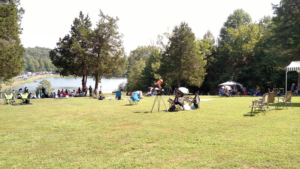 Lake TrailHikingPhoto: Curtis Abert, CC BY 2.0 (via Flickr)~21 min drive
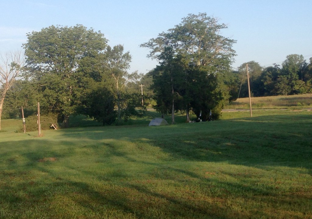 Cedar CreekHikingPhoto: lovebycycle, CC BY 2.0 (via Flickr)~19 min drive
 River To River TrailHikingPhoto: Curtis Abert, CC BY 2.0 (via Flickr)~22 min driveBig Rocky Hollow TrailHikingPhoto: Curtis Abert, CC BY 2.0 (via Flickr)~22 min drive
Daily highs and lows, wind and the chance of precipitation at Start for the next 7 days, from the Open-Meteo model.
Questions about Heron Pond Trail: conditions, access, timing. Answers say when something isn't known.
Shawnee Forest Campground
Campground
Forman Depot Museum
Museum
Places © OpenStreetMap contributors, Places © Overture Maps Foundation
More in GorevilleMap and trail data © OpenStreetMap contributors
