Main Brothers Campground
Campground
Campground · 5.1 mi from the trail
Clear at last check
Weather is good · OpenWeather · checked 19 h ago
Canoe Trail is a 7.2-mile out-and-back hike in southern Illinois, about 1.5 miles from the town of Perks. The route is rated moderate, with a total elevation gain of 125 feet and a loss of the same over the round trip. The trail runs flat for most of the way, with the steepest stretch at about 2.2 miles in, where the grade reaches 2 percent. The high point is 339 feet, and the low point is 318 feet. Spring and fall are the most comfortable times to go. Typical averages from a nearby weather station show October highs around 71°F with lows near 48°F, and April highs around 68°F. July and August average highs near 89°F. The hike takes about 2.5 hours. The Cache River, a canoeing route, lies about 1.4 miles away, and the Lower Cache River Swamp Trail is about 1.3 miles off. Limekiln Springs Trail is about 2.2 miles away, and Hickory Bottoms Trails is about 3.2 miles away.
Main Brothers Campground
Campground
Places © OpenStreetMap contributors, Places © Overture Maps Foundation
More in Goreville Cache RiverCanoeingPhoto: Virginia Ryan, Public domain (via Wikimedia Commons)1.4 mi
Source: Roamze catalog (indexable pages within 10 miles, PostGIS distance)
 River to River Segment 4 - U.S. 45 to Ferne ClyffeHiking · ~27 min drivePhoto: usfs_Eastern_Region, Public Domain Mark (via Flickr)
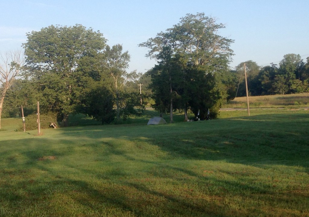 Cedar CreekHiking · ~34 min drivePhoto: lovebycycle, CC BY 2.0 (via Flickr)
 Lincoln MemorialHiking · ~27 min drivePhoto: usfs_Eastern_Region, Public Domain Mark (via Flickr)
 DutchmanHiking · ~29 min drivePhoto: usfs_Eastern_Region, Public Domain Mark (via Flickr)
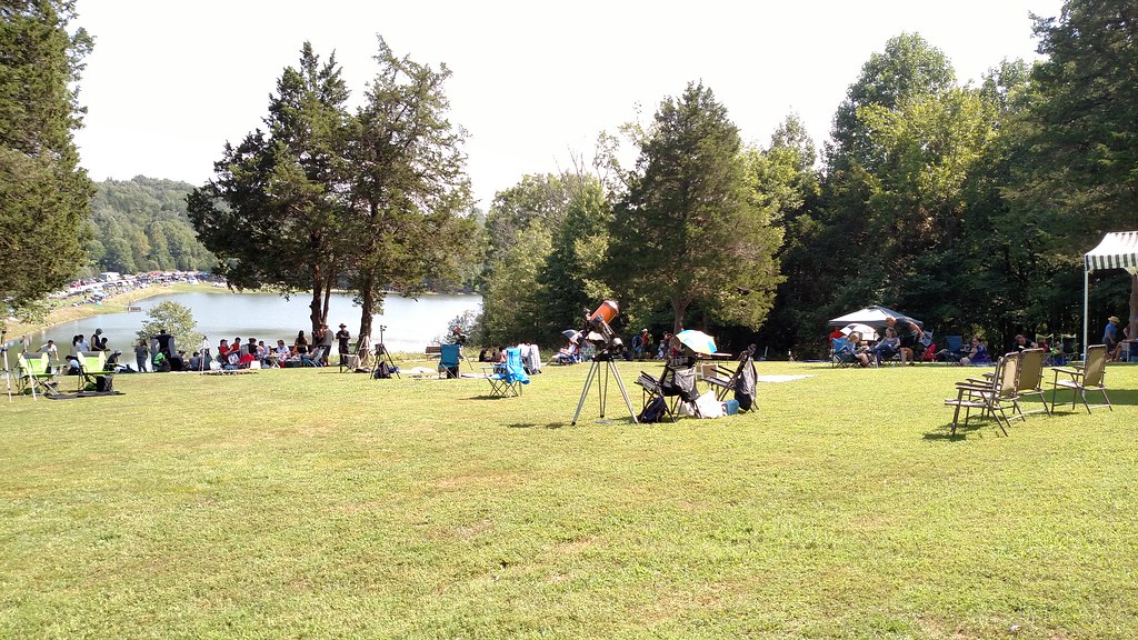 Lake TrailHiking · ~30 min drivePhoto: Curtis Abert, CC BY 2.0 (via Flickr)
 River To River TrailHiking · ~30 min drivePhoto: Curtis Abert, CC BY 2.0 (via Flickr)
Best months: March–May and September–November. Best months have typical highs of 55–85 °F, lows of 30 °F or warmer (32 °F where the station doesn't record snow), at most one snowy day and no more than 12 wet days.
Jan
43° / 26°
10 wet
Feb
48° / 30°
9 wet
Mar
57° / 37°
10 wet
Apr
68° / 47°
10 wet
May
77° / 56°
11 wet
Jun
86° / 65°
9 wet
Jul
89° / 69°
8 wet
Aug
89° / 67°
7 wet
Sep
83° / 60°
7 wet
Oct
71° / 48°
8 wet
Nov
58° / 39°
9 wet
Dec
47° / 31°
10 wet
Typical high / low (°F) and days with rain or snow, 1991–2020. Measured at Grand Chain Dam 53, IL, 6.2 mi away at 385 ft. This station doesn't record snowfall. Source: NOAA NCEI U.S. Climate Normals 1991–2020.
Map and trail data © OpenStreetMap contributors
