Main Brothers Campground
Campground
Campground · 6.2 mi from the trail
Clear today
Weather is good · OpenWeather · checked just now
Hickory Bottoms Trails is an easy 1.4-mile hike on land managed by the U.S. Fish and Wildlife Service within Cypress Creek National Wildlife Refuge in southern Illinois. The route rises from about 365 feet to a high point of 420 feet, with a total elevation gain of 208 feet. The climb is gentle, with the steepest stretch at about 0.66 miles, where the grade reaches 7 percent, and the trail returns to nearly the same elevation by the end. Spring and fall are the most comfortable times to go. Typical averages from a nearby weather station run from highs around 68°F in April to 71°F in October, while July and August average highs near 89°F. The hike takes about half an hour, so plan it as a short outing. The Lower Cache River Swamp Trail lies about 3 miles away, and the Cache River is a canoeing option about 3.4 miles off. Cypress Creek is another paddling route at about 3.9 miles, and Limekiln Springs Trail is roughly 4 miles away.
Main Brothers Campground
Campground
Chuckwagon Cafe & Saloon
Bar and grill restaurant
Natural Bridge
Attraction
Places © OpenStreetMap contributors, Places © Overture Maps Foundation
More in Goreville Cache RiverCanoeingPhoto: Virginia Ryan, Public domain (via Wikimedia Commons)3.4 mi
Source: Roamze catalog (indexable pages within 10 miles, PostGIS distance)
 River to River Segment 4 - U.S. 45 to Ferne ClyffeHiking · ~23 min drivePhoto: usfs_Eastern_Region, Public Domain Mark (via Flickr)
 DutchmanHiking · ~24 min drivePhoto: usfs_Eastern_Region, Public Domain Mark (via Flickr)
 Lincoln MemorialHiking · ~23 min drivePhoto: usfs_Eastern_Region, Public Domain Mark (via Flickr)
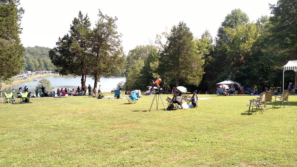 Lake TrailHiking · ~25 min drivePhoto: Curtis Abert, CC BY 2.0 (via Flickr)
 River To River TrailHiking · ~25 min drivePhoto: Curtis Abert, CC BY 2.0 (via Flickr)
Best months: March–May and September–November. Best months have typical highs of 55–85 °F, lows of 30 °F or warmer (32 °F where the station doesn't record snow), at most one snowy day and no more than 12 wet days.
Jan
43° / 26°
10 wet
Feb
48° / 30°
9 wet
Mar
57° / 37°
10 wet
Apr
68° / 47°
10 wet
May
77° / 56°
11 wet
Jun
86° / 65°
9 wet
Jul
89° / 69°
8 wet
Aug
89° / 67°
7 wet
Sep
83° / 60°
7 wet
Oct
71° / 48°
8 wet
Nov
58° / 39°
9 wet
Dec
47° / 31°
10 wet
Typical high / low (°F) and days with rain or snow, 1991–2020. Measured at Grand Chain Dam 53, IL, 9.4 mi away at 385 ft. This station doesn't record snowfall. Source: NOAA NCEI U.S. Climate Normals 1991–2020.
Map and trail data © OpenStreetMap contributors
