
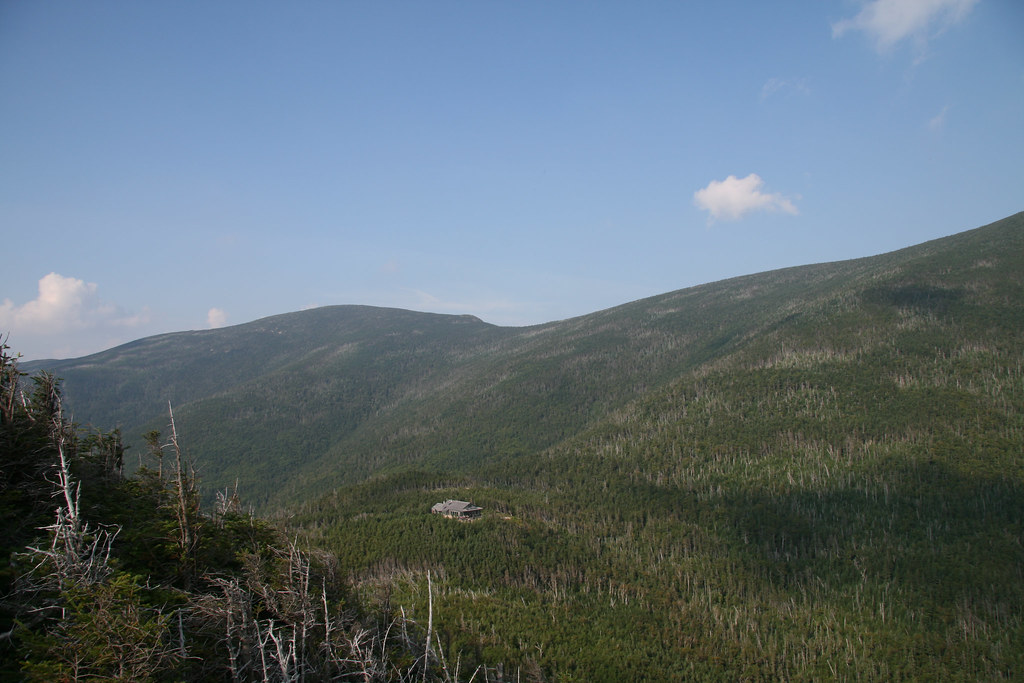
Guyot Shelter
Campground
0.2 mi from the trail
 Photo: Ktr101, CC BY-SA 2.0 (via Flickr)
West Bond is a short, moderate hike in the Pemigewasset Wilderness, part of the Pemigewasset Ranger District of White Mountain National Forest in New Hampshire. The trail is 0.45 miles long, with a total elevation gain of 187 feet, and it is managed by the Forest Service. The route is a point-to-point climb that starts at about 4,444 feet and reaches a high point of 4,512 feet. The steepest stretch comes at about 0.34 miles, with a grade of 24 percent. The climb is back-loaded, so the most significant rise happens in the second half of the hike. The trail is close to several other destinations. Bondcliff is just 0.1 mile away, and Guyot Shelter is 0.2 mile off. Climbers can head to the WM: Kancamagus (Central) area, about 1.2 miles away, and North Twin is roughly 2.2 miles from the trail.
Where it is: Pemigewasset Wilderness · Pemigewasset Ranger District
Near: Berlin
Been here? Tell people how it was.
 BondcliffHikingPhoto: matt.a, CC BY 3.0 (via Wikimedia Commons)0.1 miNorth TwinHikingPhoto: matt.a, CC BY 3.0 (via Wikimedia Commons)2.2 mi
 Omni Mount Washington Resort, Bretton WoodsLake fishing7.9 mi
 Pemigewasset RiverCanoeingPhoto: Public domain (via Wikimedia Commons)8.5 miNorth TwinHikingPhoto: matt.a, CC BY 3.0 (via Wikimedia Commons)~4 min drive
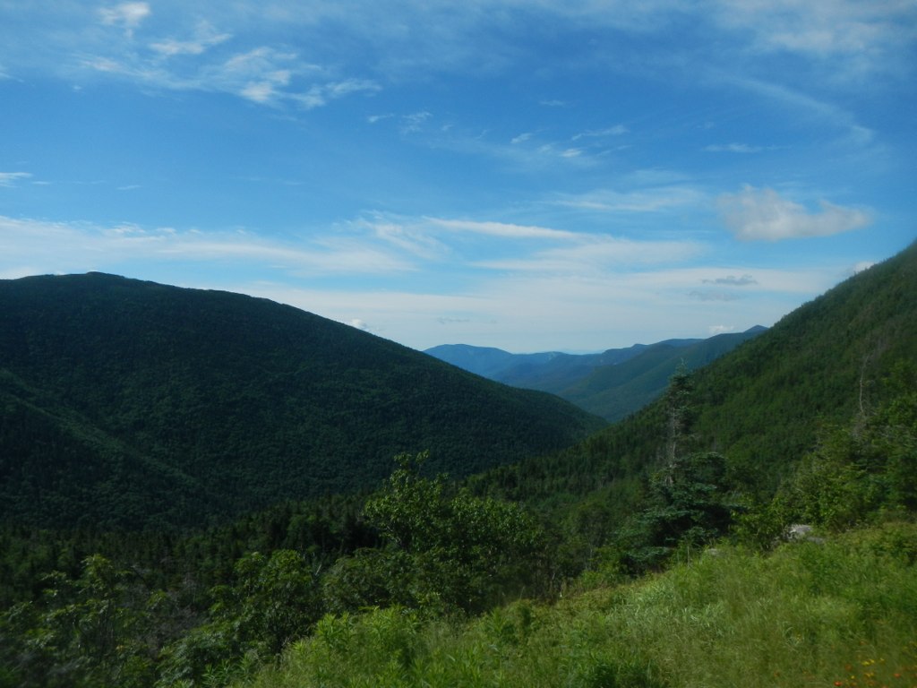 Frost TrailHikingPhoto: John Hayes (gravelboy), CC BY 2.0 (via Flickr)~4 min drive
 Zeacliff TrailHikingPhoto: matt.a, CC BY 3.0 (via Wikimedia Commons)~4 min drive
 BondcliffHikingPhoto: Qfamily, CC BY 2.0 (via Flickr)~7 min drive
 Twin BrookHikingPhoto: Steve Shook from Moscow, Idaho, USA, CC BY 2.0 (via Wikimedia Commons)~5 min drive
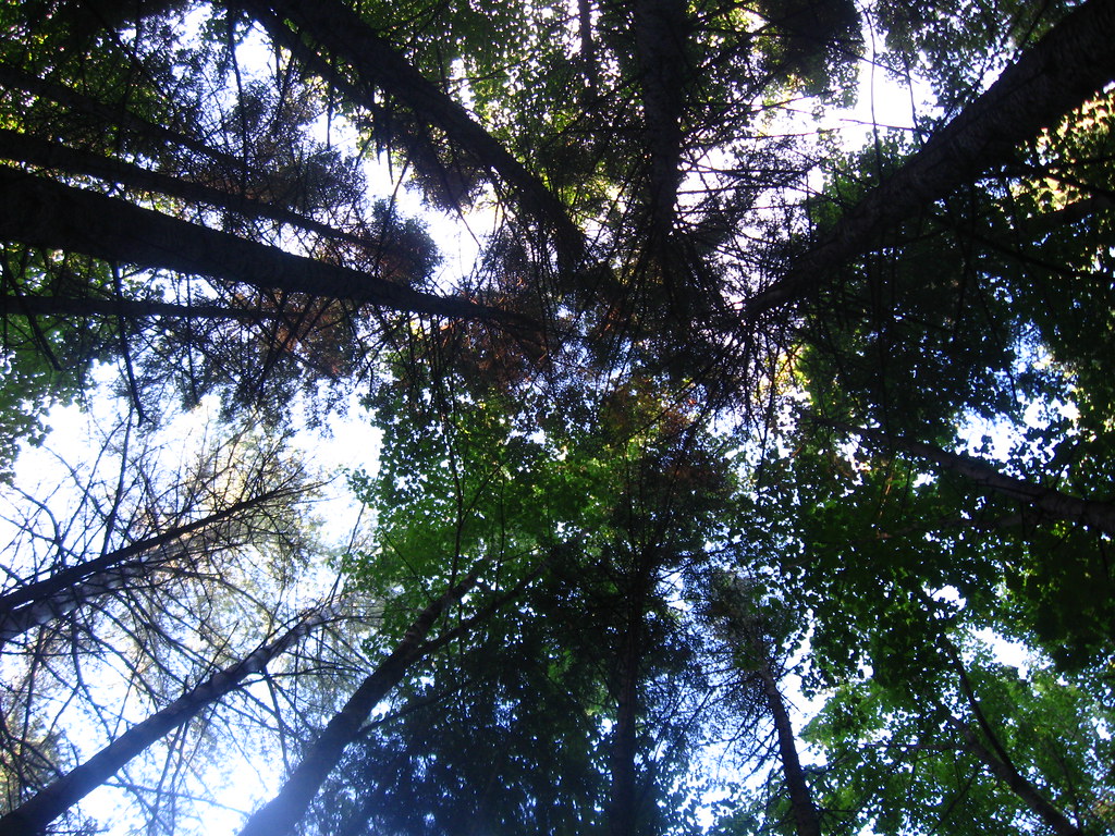 Franconia Falls TrailHikingPhoto: Qfamily, CC BY 2.0 (via Flickr)~7 min drive
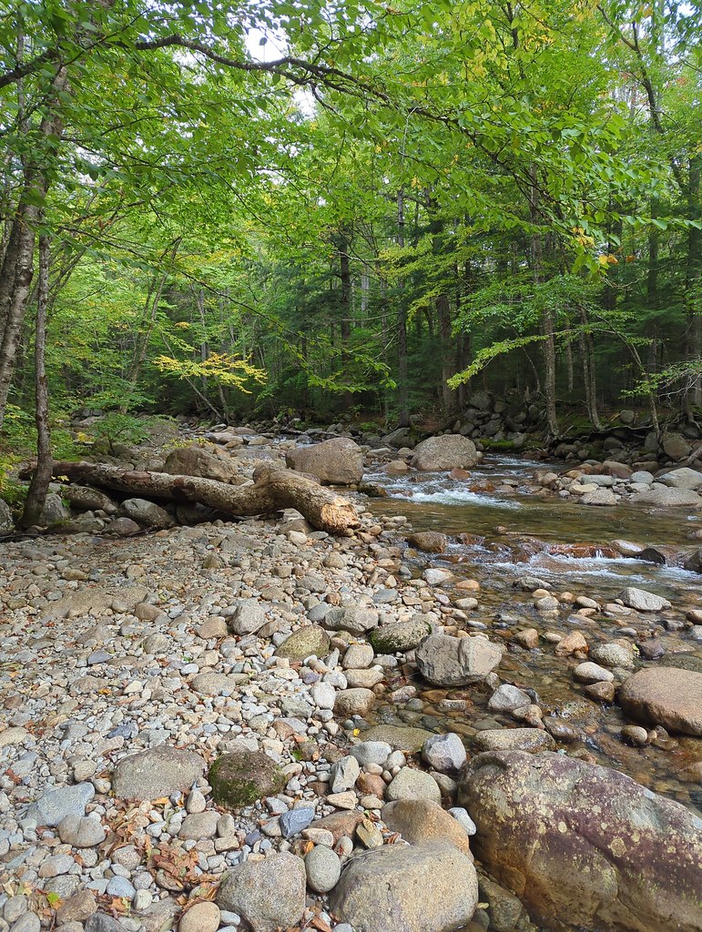 Lincoln BrookHikingPhoto: jbylund, CC BY-SA 2.0 (via Flickr)~5 min drive
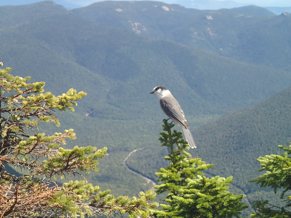 ETHAN POND TRAILHikingPhoto: Northfoot Adventures, CC BY 2.0 (via Flickr)~11 min drive
 Garfield Ridge TrailHikingPhoto: timsackton, CC BY-SA 2.0 (via Flickr)~5 min drive
 Pine Island TrailHikingPhoto: usfs_Eastern_Region, Public Domain Mark (via Flickr)~11 min drive
Daily highs and lows, wind and the chance of precipitation at Start for the next 7 days, from the Open-Meteo model.
Questions about West Bond: conditions, access, timing. Answers say when something isn't known.
Guyot Shelter
Campground
Gordi's Fish and Steak House
Restaurant
 If it rainsKen Gallager, CC BY-SA 4.0 · Wikimedia Commons
Places © OpenStreetMap contributors · Photos: Ken Gallager, CC BY-SA 4.0 (commons)
More in North ConwayMap and trail data © OpenStreetMap contributors
