Holloway Trail
At a glance
Holloway Trail is a short, easy loop hike in Arkansas, about 2.5 miles from the town of Jasmine. The trail is roughly a mile long, and it sits at nearly the same elevation throughout, with the high and low points differing by just a few feet. The route is a loop, and the climb is minimal, with the steepest stretch at about 0.06 miles in, where the grade reaches about 4%. Spring and fall are the most comfortable times to go. Typical averages from the nearby Des Arc weather station show October highs around 75°F with lows near 53°F, and April is similar at about 73°F by day and 53°F at night. Midsummer highs there typically reach the low 90s. Paddlers can pair the hike with time on the water. Raft Creek, a canoeing spot, is about 4 miles away, and Culotches Bay Slough is about 9.5 miles away.
- loop
- 1.0 mi
- high point
- 208 ft
- route
- Loop
- difficulty
- Easy
- time
- About 30 minutes
- best months
- Mar–May, Sep–Nov
Near: Searcy
Best time to visit Holloway Trail
Best months: March–May and September–November. Best months have typical highs of 55–85 °F, lows of 30 °F or warmer (32 °F where the station doesn't record snow), at most one snowy day and no more than 12 wet days.
Jan
49°
33°
9 wet
Feb
54°
36°
9 wet
Mar
63°
44°
10 wet
Apr
73°
53°
10 wet
May
81°
62°
10 wet
Jun
89°
71°
7 wet
Jul
92°
73°
7 wet
Aug
91°
72°
7 wet
Sep
85°
65°
6 wet
Oct
75°
53°
7 wet
Nov
62°
43°
8 wet
Dec
52°
36°
9 wet
Typical high / low (°F) and days with rain or snow, 1991–2020. Measured at Des Arc, AR, 6.9 mi away at 200 ft. Source: NOAA NCEI U.S. Climate Normals 1991–2020.
Been here? Tell people how it was.
 Wildlife TrailHikingPhoto: kdwood2, CC BY-SA 2.0 (via Flickr)~1h 6m drive
- Deer Run TrailHiking~1h 21m drive
- Center Ridge TrailHiking~1h 23m drive
- Summit TrailHikingPhoto: kdwood2, CC BY-SA 2.0 (via Flickr)~1h 6m drive
- South Ridge TrailHiking~1h 21m drive
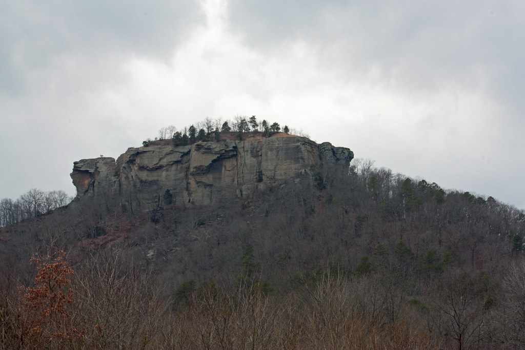 Tonawanda Base TrailHikingPhoto: kdwood2, CC BY-SA 2.0 (via Flickr)~1h 6m drive
- Bicycle Entrance TrailHiking~1h 21m drive
- Howell Tract Moist Soil Unit 2 Access TrailHiking~27 min drive
- Stinking Bay Island Walking TrailHiking~1h 23m drive
- Howell Tract South TrailHiking~27 min drive
Conditions and forecast
Daily highs and lows, wind and the chance of precipitation at Start for the next 7 days, from the Open-Meteo model.
Ask about this place
Questions about Holloway Trail: conditions, access, timing. Answers say when something isn't known.
Map and trail data © OpenStreetMap contributors
